 Waldoboro
Kennebunk
Auburn
Brunswick
Brooksville
Belfast
Scarborough
Augusta
Madawaska
Big Rapids
Oceanside
Petaluma
Atlantic City
Clearlake
Saint Helena
Daytona Beach
Redway
Healdsburg
Seaford
Waldoboro
Kennebunk
Auburn
Brunswick
Brooksville
Belfast
Scarborough
Augusta
Madawaska
Big Rapids
Oceanside
Petaluma
Atlantic City
Clearlake
Saint Helena
Daytona Beach
Redway
Healdsburg
Seaford
Muskogee on the map, United States
Where is located Muskogee
Exact location — Muskogee, Muskogee County, Oklahoma, United States, marked on the map with a red marker.
Coordinates
Muskogee, United States coordinates in decimal format: latitude — 35.7478769, longitude — -95.3696909. When converted to degrees, minutes, seconds Muskogee has the following coordinates: 35°44′52.36 north latitude and -95°22′10.89 east longitude.
Population
Muskogee, Muskogee County, Oklahoma, United States, according to our data the population is — 38,696 residents, which is about 0% of the total population of the country (United States).
Comparison of the population on the graph:
Exact time
Time zone for this location Muskogee — UTC -5 America/Chicago. Exact time — friday, 4 april 2024 year, 01 h. 56 minutes.
Sunrise and sunset
Muskogee, sunrise and sunset data for a date — friday 26.04.2024.
| Sunrise | Sunset | Day (duration) |
|---|---|---|
| 06:36 -2 minutes | 20:01 +1 minute | 13 h. 24 minutes. +3 minutes |
You can control the scale of the map using the auxiliary tools to find out exactly where it is located Muskogee. When you change the scale of the map, the width of the ruler also changes (in kilometers and miles).
Nearby cities
The largest cities that are located nearby:
- Tulsa — 71 km
- Norman — 196 km
- Oklahoma City — 196 km
- Springfield — 244 km
- Wichita — 275 km
- Little Rock — 301 km
- Frisco — 317 km
- Denton — 324 km
- Plano — 326 km
- Richardson — 334 km
- Garland — 335 km
- Carrollton — 337 km
- Mesquite — 349 km
- Olathe — 350 km
- Wichita Falls — 351 km
- Dallas — 354 km
- Irving — 356 km
- Overland Park — 363 km
- Grand Prairie — 365 km
Distance to neighboring capitals:
- Mexico City
 (Mexico) — 1852 km
 - Ottawa
 (Canada) — 1971 km
 - Belmopan
 (Belize) — 2158 km
 - Guatemala City
 (Guatemala) — 2400 km
 - Nuuk
 (Greenland) — 4291 km
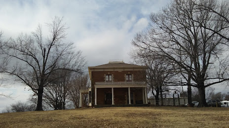
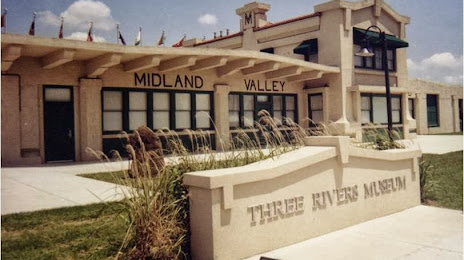
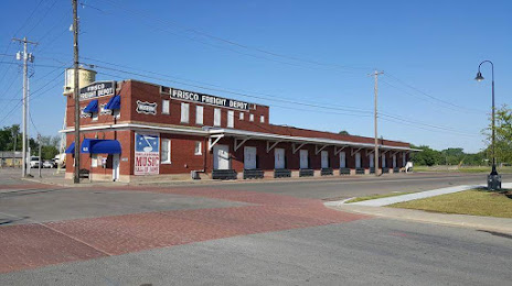
Attractions


Distance to the capital
Distance to the capital (Washington) is about — 1656 km.