 Bloomsdale
Shoals
Barbourville
Shoreham
Quogue
Medford
Ranburne
Bay Shore
Riverhead
Bruce
Scottsville
Glendale
Shelbyville
Rockville Centre
Neosho
Canton
Nicasio
Lyndhurst
Michigan City
Bloomsdale
Shoals
Barbourville
Shoreham
Quogue
Medford
Ranburne
Bay Shore
Riverhead
Bruce
Scottsville
Glendale
Shelbyville
Rockville Centre
Neosho
Canton
Nicasio
Lyndhurst
Michigan City
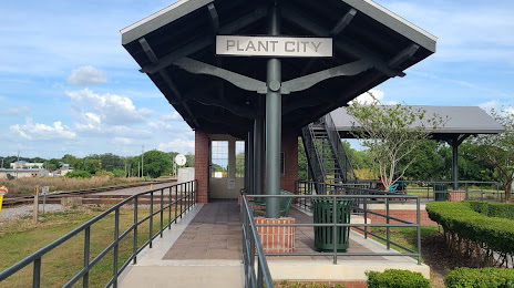
Plant City on the map, United States
Where is located Plant City
Exact location — Plant City, Hillsborough County, Florida, United States, marked on the map with a red marker.
Coordinates
Plant City, United States coordinates in decimal format: latitude — 28.0186323, longitude — -82.1128641. When converted to degrees, minutes, seconds Plant City has the following coordinates: 28°1′7.08 north latitude and -82°6′46.31 east longitude.
Population
Plant City, Hillsborough County, Florida, United States, according to our data the population is — 31,675 residents, which is about 0% of the total population of the country (United States).
Comparison of the population on the graph:
Exact time
Time zone for this location Plant City — UTC -4 America/New_York. Exact time — friday, 4 april 2024 year, 08 h. 14 minutes.
Sunrise and sunset
Plant City, sunrise and sunset data for a date — friday 26.04.2024.
| Sunrise | Sunset | Day (duration) |
|---|---|---|
| 06:54 -1 minute | 19:57 +1 minute | 13 h. 6 minutes. +2 minutes |
You can control the scale of the map using the auxiliary tools to find out exactly where it is located Plant City. When you change the scale of the map, the width of the ruler also changes (in kilometers and miles).
Nearby cities
The largest cities that are located nearby:
- Brandon — 19 km
- Tampa — 34 km
- Saint Petersburg — 58 km
- Clearwater — 67 km
- Orlando — 92 km
- Cape Coral — 162 km
- Gainesville — 182 km
- Port Saint Lucie — 191 km
- Jacksonville — 259 km
- Coral Springs — 266 km
- Pembroke Pines — 286 km
- Fort Lauderdale — 287 km
- Miramar — 288 km
- Hollywood — 295 km
- Hialeah — 301 km
- Miami — 314 km
- Tallahassee — 338 km
- Savannah — 459 km
- Havana
 (Cuba) — 537 km
Distance to neighboring capitals:
- Belmopan
 (Belize) — 1378 km
 - Guatemala City
 (Guatemala) — 1726 km
 - Mexico City
 (Mexico) — 1976 km
 - Ottawa
 (Canada) — 2017 km
 - Nuuk
 (Greenland) — 4561 km
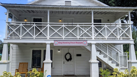
Attractions


Distance to the capital
Distance to the capital (Washington) is about — 1299 km.