 Barbourville
Shoreham
Quogue
Medford
Ranburne
Bay Shore
Riverhead
Port Jefferson Station
Setauket- East Setauket
Berryville
Franklin
Bruce
Scottsville
Glendale
Shelbyville
Rockville Centre
Neosho
Canton
Nicasio
Barbourville
Shoreham
Quogue
Medford
Ranburne
Bay Shore
Riverhead
Port Jefferson Station
Setauket- East Setauket
Berryville
Franklin
Bruce
Scottsville
Glendale
Shelbyville
Rockville Centre
Neosho
Canton
Nicasio
Land O' Lakes on the map, United States
Where is located Land O' Lakes
Exact location — Land O' Lakes, Pasco County, Florida, United States, marked on the map with a red marker.
Coordinates
Land O' Lakes, United States coordinates in decimal format: latitude — 28.2188992, longitude — -82.4575938. When converted to degrees, minutes, seconds Land O' Lakes has the following coordinates: 28°13′8.04 north latitude and -82°27′27.34 east longitude.
Population
Land O' Lakes, Pasco County, Florida, United States, according to our data the population is — 31,996 residents, which is about 0% of the total population of the country (United States).
Comparison of the population on the graph:
Exact time
Time zone for this location Land O' Lakes — UTC -4 America/New_York. Exact time — friday, 4 april 2024 year, 08 h. 38 minutes.
Sunrise and sunset
Land O' Lakes, sunrise and sunset data for a date — friday 26.04.2024.
| Sunrise | Sunset | Day (duration) |
|---|---|---|
| 06:55 -1 minute | 19:59 +1 minute | 13 h. 6 minutes. +2 minutes |
You can control the scale of the map using the auxiliary tools to find out exactly where it is located Land O' Lakes. When you change the scale of the map, the width of the ruler also changes (in kilometers and miles).
Nearby cities
The largest cities that are located nearby:
- Tampa — 30 km
- Brandon — 35 km
- Clearwater — 44 km
- Saint Petersburg — 52 km
- Orlando — 111 km
- Gainesville — 159 km
- Cape Coral — 190 km
- Port Saint Lucie — 231 km
- Jacksonville — 246 km
- Tallahassee — 301 km
- Coral Springs — 306 km
- Pembroke Pines — 325 km
- Miramar — 327 km
- Fort Lauderdale — 327 km
- Hollywood — 335 km
- Hialeah — 339 km
- Miami — 353 km
- Savannah — 446 km
- Charleston — 556 km
Distance to neighboring capitals:
- Belmopan
 (Belize) — 1380 km
 - Guatemala City
 (Guatemala) — 1728 km
 - Mexico City
 (Mexico) — 1955 km
 - Ottawa
 (Canada) — 2004 km
 - Nuuk
 (Greenland) — 4552 km
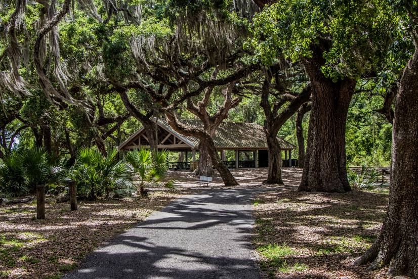
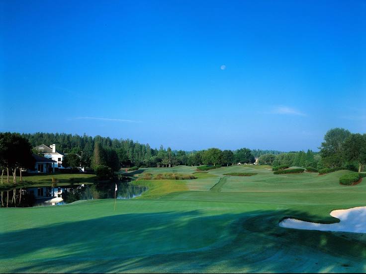
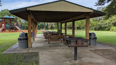
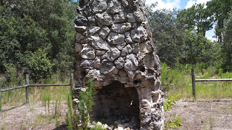
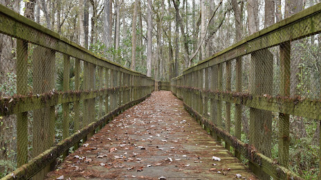
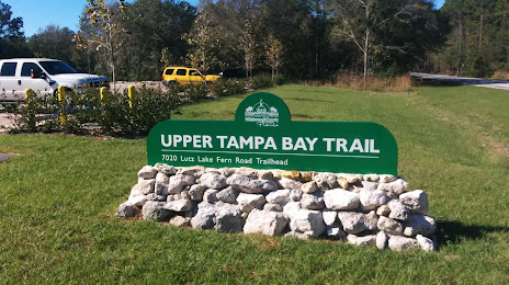
Attractions
Distance to the capital
Distance to the capital (Washington) is about — 1290 km.