Spring Valley — Montgomery County
Spring Valley — Jacumba Hot Springs
Spring Valley — Thornville
Spring Valley — South Saint Paul
Spring Valley — Nara Visa
Spring Valley — York Haven
Spring Valley — Canton
Spring Valley — Agness
Spring Valley — Katonah
Spring Valley — Clifford
Spring Valley — Marysville
Spring Valley — Clinton Corners
Spring Valley — Cleveland
Spring Valley — Jessup
Spring Valley — Morgan County
Spring Valley — Eskdale
Spring Valley — Melvin
Spring Valley — Douglas
Spring Valley — Black River Falls
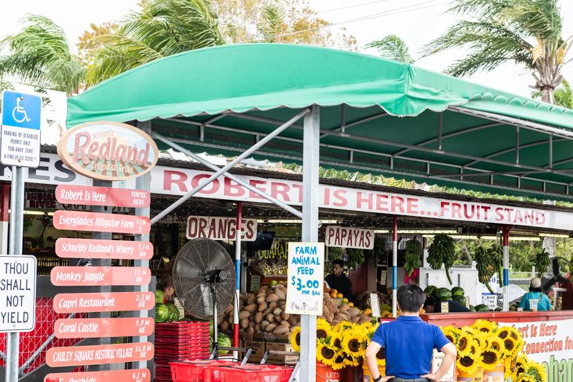
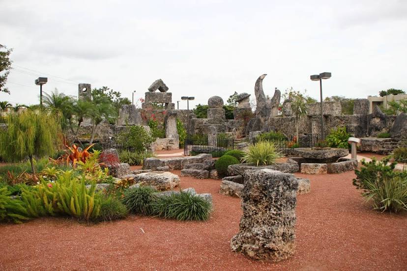
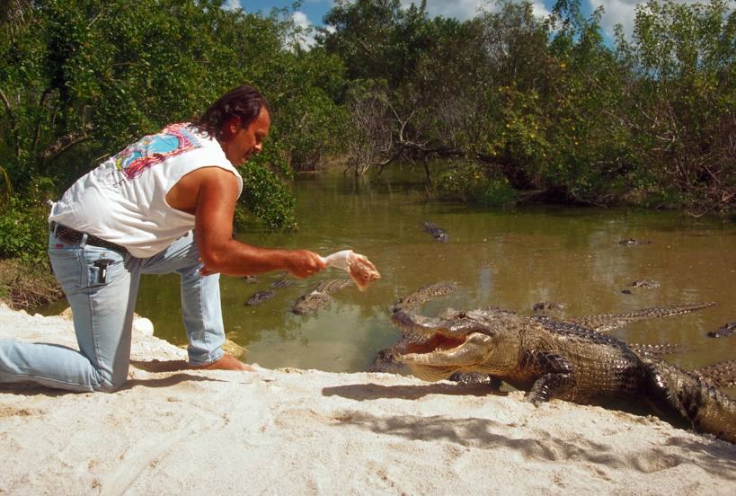
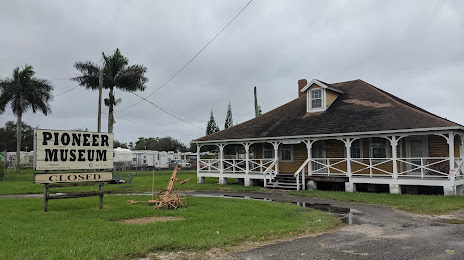
Spring Valley — Florida City distance, route on the map
Distance by car
Distance between Spring Valley, Nevada, United States and Florida City, Florida, United States by car is — km, or miles. To travel this distance by car, you need minute, or h.
Route on the map, driving directions
Car route Spring Valley — Florida City was created automatically. The road on the map is shown as a blue line. By moving the markers, you can create a new route through the points you need.
Distance by plane
If you decide to take a trip Spring Valley Florida City by plane, then you have to fly the distance — 3505 km or 2173 miles. It is marked on the map with a gray line (between two points in a straight line).
Flight time
Estimated flight time Spring Valley Florida City by plane at cruising speed 750 km / h will be — 4 h. and 40 min.
Direction of movement
United States, Spring Valley — right-hand traffic. United States, Florida City — right-hand traffic.
Difference in time
Spring Valley and Florida City are in different time zones. The time difference is 3 hours (UTC -7 America/Los_Angeles, UTC -4 America/New_York).
Interesting Facts
Information on alternative ways to get to your destination.
The length of this distance is about 8.7% of the total length of the equator.
The percentage of the population is clearly shown in the graph:
Spring Valley — 165,015, Florida City — 11,245 residents (less by 153,770).
The cost of travel
Calculate the cost of the trip yourself using the fuel consumption calculator, changing the data in the table.
Calculate the cost of other distances from the starting point — Spring Valley.