 Ruckersville
Alvarado
Williams County
Manheim
Cardington
Bellevue
Hugo
Hay Springs
Summerville
Leonard
Waelder
Springdale
Lakehurst
Owensville
Munfordville
Gibsonia
Litchfield
Jerome
Palestine
Ruckersville
Alvarado
Williams County
Manheim
Cardington
Bellevue
Hugo
Hay Springs
Summerville
Leonard
Waelder
Springdale
Lakehurst
Owensville
Munfordville
Gibsonia
Litchfield
Jerome
Palestine
DeLand on the map, United States
Where is located DeLand
Exact location — DeLand, Volusia County, Florida, United States, marked on the map with a red marker.
Coordinates
DeLand, United States coordinates in decimal format: latitude — 29.028318, longitude — -81.3031179. When converted to degrees, minutes, seconds DeLand has the following coordinates: 29°1′41.94 north latitude and -81°18′11.22 east longitude.
Population
DeLand, Volusia County, Florida, United States, according to our data the population is — 27,031 residents, which is about 0% of the total population of the country (United States).
Comparison of the population on the graph:
Exact time
Time zone for this location DeLand — UTC -4 America/New_York. Exact time — friday, 4 april 2024 year, 20 h. 36 minutes.
Sunrise and sunset
DeLand, sunrise and sunset data for a date — friday 26.04.2024.
| Sunrise | Sunset | Day (duration) |
|---|---|---|
| 06:50 -1 minute | 19:55 +1 minute | 13 h. 6 minutes. +2 minutes |
You can control the scale of the map using the auxiliary tools to find out exactly where it is located DeLand. When you change the scale of the map, the width of the ruler also changes (in kilometers and miles).
Nearby cities
The largest cities that are located nearby:
- Orlando — 55 km
- Gainesville — 120 km
- Jacksonville — 148 km
- Brandon — 154 km
- Tampa — 164 km
- Clearwater — 188 km
- Saint Petersburg — 191 km
- Port Saint Lucie — 215 km
- Cape Coral — 280 km
- Coral Springs — 322 km
- Tallahassee — 324 km
- Savannah — 338 km
- Fort Lauderdale — 341 km
- Pembroke Pines — 349 km
- Miramar — 351 km
- Hollywood — 353 km
- Hialeah — 365 km
- Miami — 378 km
- Charleston — 434 km
Distance to neighboring capitals:
- Belmopan
 (Belize) — 1515 km
 - Guatemala City
 (Guatemala) — 1863 km
 - Ottawa
 (Canada) — 1889 km
 - Mexico City
 (Mexico) — 2096 km
 - Nuuk
 (Greenland) — 4429 km
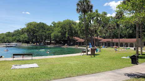
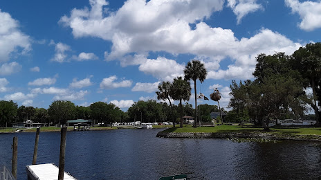
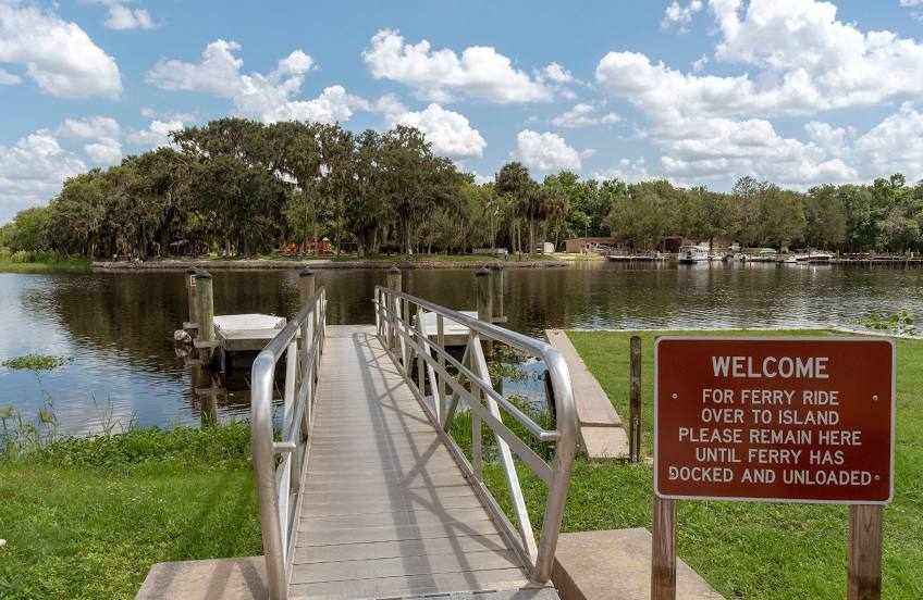
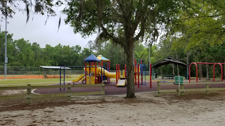
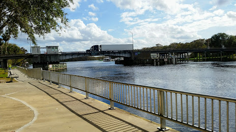
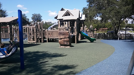
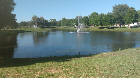
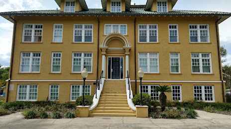
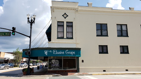
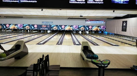
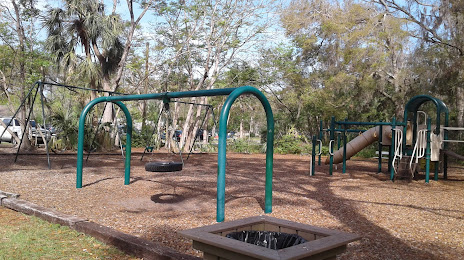
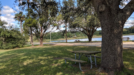
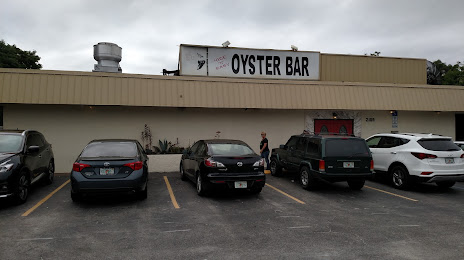
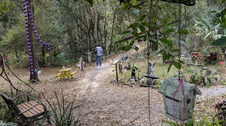
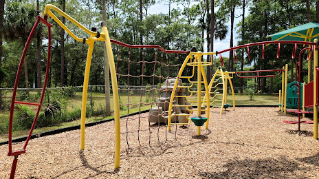
Attractions


Distance to the capital
Distance to the capital (Washington) is about — 1167 km.