
 Volkhov
Dmitrovskoye
Novomichurinsk
Svoboda
Tverskaya
Velikiye Luki
Pyatigorsk
Musy
Dubovaya
Baranov
Ivanovo
Malysheva
Bratsk
Marks
Tiny
Potash
Kotovsk
Gatchina
Start
Volkhov
Dmitrovskoye
Novomichurinsk
Svoboda
Tverskaya
Velikiye Luki
Pyatigorsk
Musy
Dubovaya
Baranov
Ivanovo
Malysheva
Bratsk
Marks
Tiny
Potash
Kotovsk
Gatchina
Start
Komsomolsk-on-Amur on the map, Russian Federation
Where is located Komsomolsk-on-Amur
Exact location — Komsomolsk-on-Amur, gorod Komsomolsk-na-Amure, Khabarovsk Krai, Russia, marked on the map with a red marker.
Coordinates
Komsomolsk-on-Amur, Russian Federation coordinates in decimal format: latitude — 50.566667, longitude — 137. When converted to degrees, minutes, seconds Komsomolsk-on-Amur has the following coordinates: 50°34′0 north latitude and 137°0′0 east longitude.
Population
Komsomolsk-on-Amur, gorod Komsomolsk-na-Amure, Khabarovsk Krai, Russia, according to our data the population is — 275,908 residents, which is about 0.2% of the total population of the country (Russian Federation).
Comparison of the population on the graph:
Exact time
Time zone for this location Komsomolsk-on-Amur — UTC +10 Asia/Vladivostok. Exact time — friday, 5 may 2024 year, 12 h. 35 minutes.
Sunrise and sunset
Komsomolsk-on-Amur, sunrise and sunset data for a date — friday 17.05.2024.
| Sunrise | Sunset | Day (duration) |
|---|---|---|
| 05:04 -2 minutes | 20:31 +1 minute | 15 h. 30 minutes. +3 minutes |
You can control the scale of the map using the auxiliary tools to find out exactly where it is located Komsomolsk-on-Amur. When you change the scale of the map, the width of the ruler also changes (in kilometers and miles).
Nearby cities
The largest cities that are located nearby:
- Khabarovsk — 269 km
- Yuzhno-Sakhalinsk — 588 km
- Hegang
 (China) — 615 km
 - Jiamusi (China) — 655 km
- Blagoveshchensk — 669 km
- Heihe (China) — 671 km
- Jixi (China) — 748 km
- Ussuriysk — 849 km
- Asahikawa
 (Japan) — 865 km
 - Suihua (China) — 876 km
- Otaru (Japan) — 877 km
- Mudanjiang (China) — 883 km
- Artem — 885 km
- Sapporo (Japan) — 901 km
- Ebetsu (Japan) — 903 km
- Vladivostok — 919 km
- Nakhodka — 920 km
- Kitami (Japan) — 928 km
- Tomakomai (Japan) — 954 km
Distance to neighboring capitals:
- Pyongyang
 (North Korea) — 1555 km
 - Seoul
 (South Korea) — 1650 km
 - Beijing (China) — 1991 km
- Khan-Uul
 (Mongolian) — 2210 km
 - Hanoi
 (Vietnam) — 4263 km
 - Astana
 (Kazakhstan) — 4444 km
 - Kathmandu
 (Nepal) — 4999 km
 - Helsinki
 (Finland) — 6288 km
 - Tallinn
 (Estonia) — 6354 km
 - Mariehamn (Åland Islands) — 6485 km
- Rīga
 (Latvia) — 6580 km
 - Stockholm
 (Sweden) — 6624 km
 - Minsk
 (Belarus) — 6677 km
 - Tbilisi
 (Georgia) — 6706 km
 - Vilnius
 (Lithuania) — 6715 km
 - Tehran
 (Iran) — 6744 km
 - Kyiv
 (Ukraine) — 6814 km
 - Oslo
 (Norway) — 6820 km
 - Yerevan
 (Armenia) — 6839 km
 - Warsaw
 (Poland) — 7106 km
 - Bucharest
 (Romania) — 7534 km
 - Prague
 (Czech Republic) — 7575 km
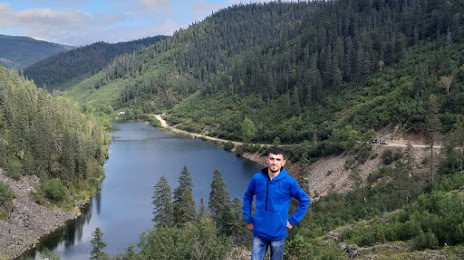
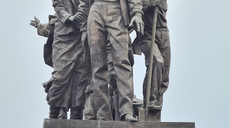
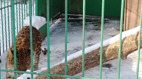
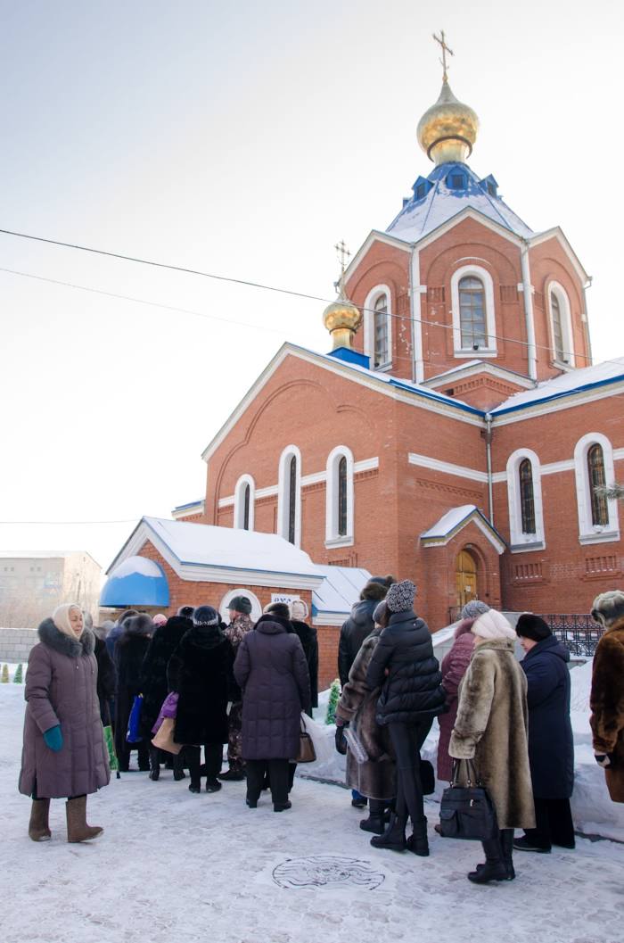
Attractions


Distance to the capital
Distance to the capital (Moscow) is about — 6066 km.