 Ponderay
Groves
Jasper
Wauconda
Corolla
Elizabethtown
Beulaville
Ocracoke
Aberdeen
Bolivia
West Long Branch
Olympic Valley
Webster
Northborough
Gardner
Nathalie
Ruther Glen
Jean Airport
Bernardsville
Ponderay
Groves
Jasper
Wauconda
Corolla
Elizabethtown
Beulaville
Ocracoke
Aberdeen
Bolivia
West Long Branch
Olympic Valley
Webster
Northborough
Gardner
Nathalie
Ruther Glen
Jean Airport
Bernardsville
Anniston on the map, United States
Where is located Anniston
Exact location — Anniston, Calhoun County, Alabama, United States, marked on the map with a red marker.
Coordinates
Anniston, United States coordinates in decimal format: latitude — 33.6598257, longitude — -85.8316318. When converted to degrees, minutes, seconds Anniston has the following coordinates: 33°39′35.37 north latitude and -85°49′53.87 east longitude.
Population
Anniston, Calhoun County, Alabama, United States, according to our data the population is — 23,423 residents, which is about 0% of the total population of the country (United States).
Comparison of the population on the graph:
Exact time
Time zone for this location Anniston — UTC -5 America/Chicago. Exact time — friday, 4 april 2024 year, 23 h. 59 minutes.
Sunrise and sunset
Anniston, sunrise and sunset data for a date — friday 26.04.2024.
| Sunrise | Sunset | Day (duration) |
|---|---|---|
| 06:01 -1 minute | 19:20 +1 minute | 13 h. 18 minutes. +2 minutes |
You can control the scale of the map using the auxiliary tools to find out exactly where it is located Anniston. When you change the scale of the map, the width of the ruler also changes (in kilometers and miles).
Nearby cities
The largest cities that are located nearby:
- Birmingham — 91 km
- Atlanta — 133 km
- Huntsville — 137 km
- Montgomery — 149 km
- Chattanooga — 160 km
- Nashville — 289 km
- Knoxville — 307 km
- Clarksville — 345 km
- Tallahassee — 386 km
- Mobile — 389 km
- Memphis — 415 km
- Jackson — 434 km
- Columbia — 441 km
- Savannah — 476 km
- Charlotte — 483 km
- Evansville — 500 km
- Louisville — 508 km
- Jacksonville — 542 km
- Gainesville — 557 km
Distance to neighboring capitals:
- Ottawa
 (Canada) — 1568 km
 - Belmopan
 (Belize) — 1848 km
 - Mexico City
 (Mexico) — 2059 km
 - Guatemala City
 (Guatemala) — 2171 km
 - Nuuk
 (Greenland) — 4110 km
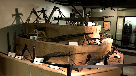
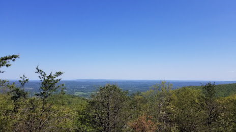
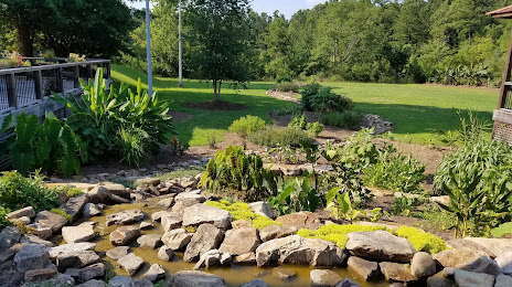
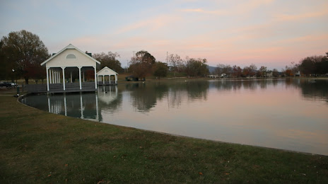
Attractions


Distance to the capital
Distance to the capital (Washington) is about — 980 km.