Weatherford — Attalla
Weatherford — Saint Clairsville
Weatherford — White Earth
Weatherford — Chandler
Weatherford — Ash Fork
Weatherford — Savannah
Weatherford — North Apollo
Weatherford — Brandenburg
Weatherford — Labor
Weatherford — South Dakota
Weatherford — Hector International Airport
Weatherford — Tionesta
Weatherford — Kellyville
Weatherford — Beasley
Weatherford — Columbus Municipal Airport
Weatherford — Monterey
Weatherford — Stambaugh Airport
Weatherford — Sunman
Weatherford — Tennyson
Strawn
Ranger
Olden
Eastland
Cisco
Baird
ABI Abilene Regional Airport
Abilene
Trent
Sweetwater
Loraine
Colorado City
Big Spring
Midland
Midland International Air & Space Port
Odessa
Ector County
Penwell
Monahans
Wickett
Pyote
Pecos
Van Horn
Allamoore
Sierra Blanca
Fort Hancock
Fabens
Clint
Zaragoza
Weatherford — Attalla
Weatherford — Saint Clairsville
Weatherford — White Earth
Weatherford — Chandler
Weatherford — Ash Fork
Weatherford — Savannah
Weatherford — North Apollo
Weatherford — Brandenburg
Weatherford — Labor
Weatherford — South Dakota
Weatherford — Hector International Airport
Weatherford — Tionesta
Weatherford — Kellyville
Weatherford — Beasley
Weatherford — Columbus Municipal Airport
Weatherford — Monterey
Weatherford — Stambaugh Airport
Weatherford — Sunman
Weatherford — Tennyson
Strawn
Ranger
Olden
Eastland
Cisco
Baird
ABI Abilene Regional Airport
Abilene
Trent
Sweetwater
Loraine
Colorado City
Big Spring
Midland
Midland International Air & Space Port
Odessa
Ector County
Penwell
Monahans
Wickett
Pyote
Pecos
Van Horn
Allamoore
Sierra Blanca
Fort Hancock
Fabens
Clint
Zaragoza  El Paso
Border
El Paso
Ciudad Juarez
El Paso
El Paso
Santa Teresa
Canutillo
Berino
Vado
Mesilla
Deming
Moon
Lordsburg
Raso
Willcox
Cochise
Dragoon
Benson
Tucson International Airport
Tucson
Marana
Picacho
El Paso
Border
El Paso
Ciudad Juarez
El Paso
El Paso
Santa Teresa
Canutillo
Berino
Vado
Mesilla
Deming
Moon
Lordsburg
Raso
Willcox
Cochise
Dragoon
Benson
Tucson International Airport
Tucson
Marana
Picacho
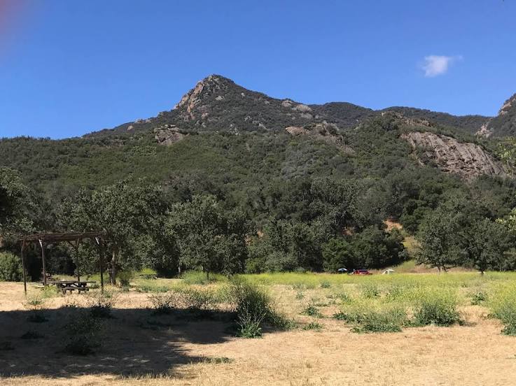
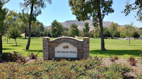
Weatherford — Agoura Hills distance, route on the map
Distance by car
Distance between Weatherford, Texas, United States and Agoura Hills, California, United States by car is — km, or miles. To travel this distance by car, you need minute, or h.
Route on the map, driving directions
Car route Weatherford — Agoura Hills was created automatically. The road on the map is shown as a blue line. By moving the markers, you can create a new route through the points you need.
Passing cities through which the car route passes: Mingus, Strawn, Ranger, Olden, Eastland, Cisco, Baird, ABI Abilene Regional Airport, Abilene, Trent, Sweetwater, Loraine, Colorado City, Big Spring, Midland, Midland International Air & Space Port, Odessa, Ector County, Penwell, Monahans, Wickett, Pyote, Pecos, Van Horn, Allamoore, Sierra Blanca, Fort Hancock, Fabens, Clint, Zaragoza (mx), El Paso, Border (mx), El Paso, Ciudad Juarez (mx), El Paso, El Paso, Santa Teresa, Canutillo, Berino, Vado, Mesilla, Deming, Moon, Lordsburg, Raso, Willcox, Cochise, Dragoon, Benson, Tucson International Airport, Tucson, Marana, Picacho.
Distance by plane
If you decide to take a trip Weatherford Agoura Hills by plane, then you have to fly the distance — 1948 km or 1208 miles. It is marked on the map with a gray line (between two points in a straight line).
Flight time
Estimated flight time Weatherford Agoura Hills by plane at cruising speed 750 km / h will be — 2 h. and 35 min.
Direction of movement
United States, Weatherford — right-hand traffic. United States, Agoura Hills — right-hand traffic.
Difference in time
Weatherford and Agoura Hills are in different time zones. The time difference is 2 hours (UTC -5 America/Chicago, UTC -7 America/Los_Angeles).
Interesting Facts
Information on alternative ways to get to your destination.
The length of this distance is about 4.9% of the total length of the equator.
The percentage of the population is clearly shown in the graph:
Weatherford — 25,250, Agoura Hills — 22,222 residents (less by 3,028).
The cost of travel
Calculate the cost of the trip yourself using the fuel consumption calculator, changing the data in the table.