Arcata — Fortine
Arcata — Oro Grande
Arcata — Fillmore
Arcata — Sorento
Arcata — Tucumcari
Arcata — Owens Cross Roads
Arcata — Torrey
Arcata — Harwinton
Arcata — Brookston
Arcata — Wheatfield
Arcata — Kenmare
Arcata — Stidham
Arcata — Lyndon
Arcata — Darien
Arcata — Yantis
Arcata — West Boylston
Arcata — Roberts County
Arcata — San Luis Obispo
Arcata — Buffalo Grove
Blue Lake
Korbel
Salyer
Burnt Ranch
Weaverville
Douglas City
Shasta
Redding
Palo Cedro
Shingletown
Old Station
Susanville
Herlong
Cold Springs
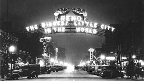
Arcata — Reno distance, route on the map
Distance by car
Distance between Arcata, California, United States and Reno, Nevada, United States by car is — km, or miles. To travel this distance by car, you need minute, or h.
Route on the map, driving directions
Car route Arcata — Reno was created automatically. The road on the map is shown as a blue line. By moving the markers, you can create a new route through the points you need.
Passing cities through which the car route passes: McKinleyville, Blue Lake, Korbel, Salyer, Burnt Ranch, Weaverville, Douglas City, Shasta, Redding, Palo Cedro, Shingletown, Old Station, Susanville, Herlong, Cold Springs.
Distance by plane
If you decide to take a trip Arcata Reno by plane, then you have to fly the distance — 392 km or 243 miles. It is marked on the map with a gray line (between two points in a straight line).
Flight time
Estimated flight time Arcata Reno by plane at cruising speed 750 km / h will be — 31 min.
Direction of movement
United States, Arcata — right-hand traffic. United States, Reno — right-hand traffic.
Difference in time
Arcata and Reno are in the same time zone. Between them there is no time difference (UTC -7 America/Los_Angeles).
Interesting Facts
Information on alternative ways to get to your destination.
The length of this distance is about 1.0% of the total length of the equator.
The percentage of the population is clearly shown in the graph:
Arcata — 17,199 (less by 184,943), Reno — 202,142 residents.
The cost of travel
Calculate the cost of the trip yourself using the fuel consumption calculator, changing the data in the table.