Latta — Creal Springs
Latta — Ducor
Latta — Sargeant
Latta — Mart
Latta — Madras
Latta — Watrous
Latta — Mountville
Latta — Jeffersonville
Latta — East Vandergrift
Latta — Grass Valley
Latta — Nebo
Latta — Stockton
Latta — Youngstown
Latta — Schertz
Latta — Deerbrook
Latta — Fairbanks
Latta — Nowata
Latta — Hallettsville
Latta — El Indio
Florence
Timmonsville
Turbeville
Gable
Manning
Davis Station
Summerton
Reevesville
Walterboro
Yemassee
Hardeeville
Port Wentworth
Savannah/Hilton Head International Airport
Pooler
Richmond Hill
Riceboro
Brunswick
Kingsland
Yulee
Jacksonville International Airport
Duval County
Latta — Creal Springs
Latta — Ducor
Latta — Sargeant
Latta — Mart
Latta — Madras
Latta — Watrous
Latta — Mountville
Latta — Jeffersonville
Latta — East Vandergrift
Latta — Grass Valley
Latta — Nebo
Latta — Stockton
Latta — Youngstown
Latta — Schertz
Latta — Deerbrook
Latta — Fairbanks
Latta — Nowata
Latta — Hallettsville
Latta — El Indio
Florence
Timmonsville
Turbeville
Gable
Manning
Davis Station
Summerton
Reevesville
Walterboro
Yemassee
Hardeeville
Port Wentworth
Savannah/Hilton Head International Airport
Pooler
Richmond Hill
Riceboro
Brunswick
Kingsland
Yulee
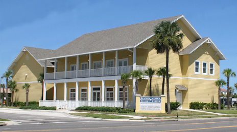
Jacksonville International Airport
Duval County
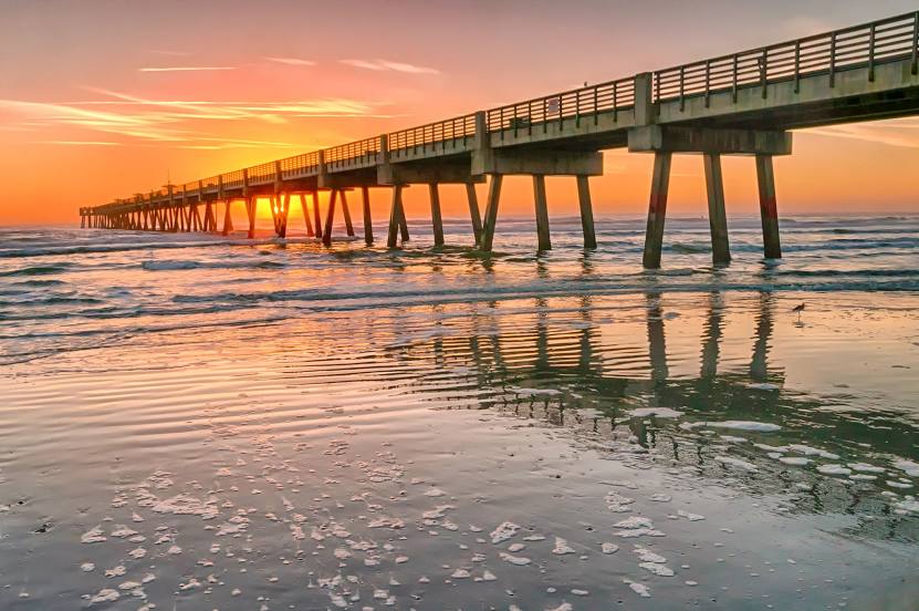
Latta — Jacksonville Beach distance, route on the map
Distance by car
Distance between Latta, South Carolina, United States and Jacksonville Beach, Florida, United States by car is — km, or miles. To travel this distance by car, you need minute, or h.
Route on the map, driving directions
Car route Latta — Jacksonville Beach was created automatically. The road on the map is shown as a blue line. By moving the markers, you can create a new route through the points you need.
Passing cities through which the car route passes: Quinby, Florence, Timmonsville, Turbeville, Gable, Manning, Davis Station, Summerton, Reevesville, Walterboro, Yemassee, Hardeeville, Port Wentworth, Savannah/Hilton Head International Airport, Pooler, Richmond Hill, Riceboro, Brunswick, Kingsland, Yulee, Jacksonville International Airport, Duval County.
Distance by plane
If you decide to take a trip Latta Jacksonville Beach by plane, then you have to fly the distance — 487 km or 302 miles. It is marked on the map with a gray line (between two points in a straight line).
Flight time
Estimated flight time Latta Jacksonville Beach by plane at cruising speed 750 km / h will be — 38 min.
Direction of movement
United States, Latta — right-hand traffic. United States, Jacksonville Beach — right-hand traffic.
Difference in time
Latta and Jacksonville Beach are in the same time zone. Between them there is no time difference (UTC -4 America/New_York).
Interesting Facts
Information on alternative ways to get to your destination.
The length of this distance is about 1.2% of the total length of the equator.
The percentage of the population is clearly shown in the graph:
Latta — 1,413 (less by 20,139), Jacksonville Beach — 21,552 residents.
The cost of travel
Calculate the cost of the trip yourself using the fuel consumption calculator, changing the data in the table.