Black River Falls — Starrucca
Black River Falls — Mohawk
Black River Falls — Chicago
Black River Falls — Cass County
Black River Falls — Rochester
Black River Falls — Bridgewater
Black River Falls — Montalba
Black River Falls — Ipava
Black River Falls — Wurtsboro
Black River Falls — Springfield
Black River Falls — Mason
Black River Falls — Charles Town
Black River Falls — Paxton Airport
Black River Falls — Saulsbury
Black River Falls — Byromville
Black River Falls — Winfield
Black River Falls — Hebron
Black River Falls — Bosque Farms
Black River Falls — Bickmore
York
Eau Claire
Elk Mound
Menomonie
Knapp
Dahl
Hudson
Lake Saint Croix Beach
Lake Elmo
Oakdale
Dellwood
White Bear Lake
Ramsey County
Shoreview
Saint Anthony
Fridley
Brooklyn Park
Minneapolis
Osseo
Maple Grove
Saint Michael
Albertville
Big Lake
Becker
Saint Cloud
Sartell
Rice
Little Falls
Baxter
Nisswa
Pequot Lakes
Backus
Walker
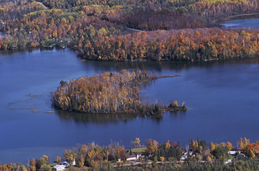
Black River Falls — Bemidji distance, route on the map
Distance by car
Distance between Black River Falls, Wisconsin, United States and Bemidji, Minnesota, United States by car is — km, or miles. To travel this distance by car, you need minute, or h.
Route on the map, driving directions
Car route Black River Falls — Bemidji was created automatically. The road on the map is shown as a blue line. By moving the markers, you can create a new route through the points you need.
Passing cities through which the car route passes: Hixton, York, Eau Claire, Elk Mound, Menomonie, Knapp, Dahl, Hudson, Lake Saint Croix Beach, Lake Elmo, Oakdale, Dellwood, White Bear Lake, Ramsey County, Shoreview, Saint Anthony, Fridley, Brooklyn Park, Minneapolis, Osseo, Maple Grove, Saint Michael, Albertville, Big Lake, Becker, Saint Cloud, Sartell, Rice, Little Falls, Baxter, Nisswa, Pequot Lakes, Backus, Walker.
Distance by plane
If you decide to take a trip Black River Falls Bemidji by plane, then you have to fly the distance — 473 km or 293 miles. It is marked on the map with a gray line (between two points in a straight line).
Flight time
Estimated flight time Black River Falls Bemidji by plane at cruising speed 750 km / h will be — 37 min.
Direction of movement
United States, Black River Falls — right-hand traffic. United States, Bemidji — right-hand traffic.
Difference in time
Black River Falls and Bemidji are in the same time zone. Between them there is no time difference (UTC -5 America/Chicago).
Interesting Facts
Information on alternative ways to get to your destination.
The length of this distance is about 1.2% of the total length of the equator.
The percentage of the population is clearly shown in the graph:
Black River Falls — 3,550 (less by 9,781), Bemidji — 13,331 residents.
The cost of travel
Calculate the cost of the trip yourself using the fuel consumption calculator, changing the data in the table.