Ruidoso — Newsoms
Ruidoso — Albany
Ruidoso — Newtonsville
Ruidoso — San Tan Valley
Ruidoso — Drake Airport
Ruidoso — Elgin
Ruidoso — Danville
Ruidoso — Eubank
Ruidoso — Lyndon
Ruidoso — Jonesville
Ruidoso — Kilsyth
Ruidoso — Upper Lake
Ruidoso — Bigelow
Ruidoso — Sturgis
Ruidoso — Yates County
Ruidoso — Baileyton
Ruidoso — Woodsboro
Ruidoso — Dawson
Ruidoso — Kane County
Duran
Guadalupe County
Anton Chico
Lagunita
Tecolote
Las Vegas
Watrous
Valmora
Raton
Trinidad
Ludlow
Aguilar
Walsenburg
Pueblo
Fountain
Colorado Springs
Colorado Springs
Monument
Palmer Lake
Douglas County
Castle Rock
Lone Tree
Centennial
Castlewood
Greenwood Village
Cherry Hills Village
Glendale
Denver
North Washington
Thornton
Dacono
Rancho De Aereo Airport
Mead
Loveland
Timnath
Ruidoso — Newsoms
Ruidoso — Albany
Ruidoso — Newtonsville
Ruidoso — San Tan Valley
Ruidoso — Drake Airport
Ruidoso — Elgin
Ruidoso — Danville
Ruidoso — Eubank
Ruidoso — Lyndon
Ruidoso — Jonesville
Ruidoso — Kilsyth
Ruidoso — Upper Lake
Ruidoso — Bigelow
Ruidoso — Sturgis
Ruidoso — Yates County
Ruidoso — Baileyton
Ruidoso — Woodsboro
Ruidoso — Dawson
Ruidoso — Kane County
Duran
Guadalupe County
Anton Chico
Lagunita
Tecolote
Las Vegas
Watrous
Valmora
Raton
Trinidad
Ludlow
Aguilar
Walsenburg
Pueblo
Fountain
Colorado Springs
Colorado Springs
Monument
Palmer Lake
Douglas County
Castle Rock
Lone Tree
Centennial
Castlewood
Greenwood Village
Cherry Hills Village
Glendale
Denver
North Washington
Thornton
Dacono
Rancho De Aereo Airport
Mead
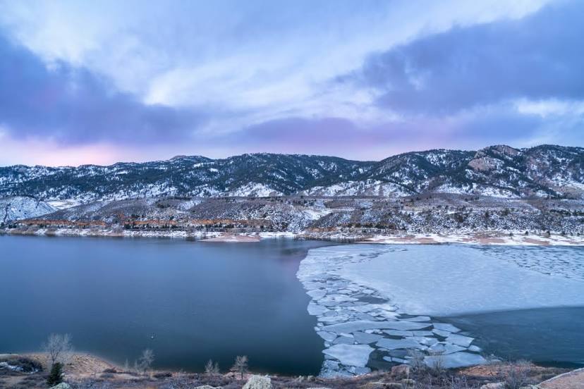
Loveland
Timnath
Ruidoso — Fort Collins distance, route on the map
Distance by car
Distance between Ruidoso, New Mexico, United States and Fort Collins, Colorado, United States by car is — km, or miles. To travel this distance by car, you need minute, or h.
Route on the map, driving directions
Car route Ruidoso — Fort Collins was created automatically. The road on the map is shown as a blue line. By moving the markers, you can create a new route through the points you need.
Passing cities through which the car route passes: Nogal, Duran, Guadalupe County, Anton Chico, Lagunita, Tecolote, Las Vegas, Watrous, Valmora, Raton, Trinidad, Ludlow, Aguilar, Walsenburg, Pueblo, Fountain, Colorado Springs, Colorado Springs, Monument, Palmer Lake, Douglas County, Castle Rock, Lone Tree, Centennial, Castlewood, Greenwood Village, Cherry Hills Village, Glendale, Denver, North Washington, Thornton, Dacono, Rancho De Aereo Airport, Mead, Loveland, Timnath.
Distance by plane
If you decide to take a trip Ruidoso Fort Collins by plane, then you have to fly the distance — 804 km or 498 miles. It is marked on the map with a gray line (between two points in a straight line).
Flight time
Estimated flight time Ruidoso Fort Collins by plane at cruising speed 750 km / h will be — 1 h. and 4 min.
Direction of movement
United States, Ruidoso — right-hand traffic. United States, Fort Collins — right-hand traffic.
Difference in time
Ruidoso and Fort Collins are in the same time zone. Between them there is no time difference (UTC -6 America/Denver).
Interesting Facts
Information on alternative ways to get to your destination.
The length of this distance is about 2.0% of the total length of the equator.
The percentage of the population is clearly shown in the graph:
Ruidoso — 8,757 (less by 120,495), Fort Collins — 129,252 residents.
The cost of travel
Calculate the cost of the trip yourself using the fuel consumption calculator, changing the data in the table.