Bonner Springs — Muscatine
Bonner Springs — Germantown
Bonner Springs — Saint Louis Park
Bonner Springs — West Springfield
Bonner Springs — Mooreland
Bonner Springs — Okeana
Bonner Springs — Sawyerville
Bonner Springs — Star City
Bonner Springs — Douglas
Bonner Springs — Saint Stephen
Bonner Springs — Channing
Bonner Springs — Penwell
Bonner Springs — Rockwall
Bonner Springs — Lago Vista
Bonner Springs — Lyndon
Bonner Springs — Blockton
Bonner Springs — Perrysburg
Bonner Springs — Swayzee
Bonner Springs — Masontown
Lawrence
Topeka
Berryton
Willard
Paxico
Junction City
Solomon
Salina
Saline County
Dorrance
Russell County
Russell
Hays
Ellis
WaKeeney
Voda
Collyer
Quinter
Grainfield
Colby
Goodland
Burlington
Stratton
Seibert
Flagler
Arriba
Limon
Deer Trail
Byers
Watkins
Denver
Denver International Airport
Henderson
Dacono
Rancho De Aereo Airport
Mead
Loveland
Timnath
Bonner Springs — Muscatine
Bonner Springs — Germantown
Bonner Springs — Saint Louis Park
Bonner Springs — West Springfield
Bonner Springs — Mooreland
Bonner Springs — Okeana
Bonner Springs — Sawyerville
Bonner Springs — Star City
Bonner Springs — Douglas
Bonner Springs — Saint Stephen
Bonner Springs — Channing
Bonner Springs — Penwell
Bonner Springs — Rockwall
Bonner Springs — Lago Vista
Bonner Springs — Lyndon
Bonner Springs — Blockton
Bonner Springs — Perrysburg
Bonner Springs — Swayzee
Bonner Springs — Masontown
Lawrence
Topeka
Berryton
Willard
Paxico
Junction City
Solomon
Salina
Saline County
Dorrance
Russell County
Russell
Hays
Ellis
WaKeeney
Voda
Collyer
Quinter
Grainfield
Colby
Goodland
Burlington
Stratton
Seibert
Flagler
Arriba
Limon
Deer Trail
Byers
Watkins
Denver
Denver International Airport
Henderson
Dacono
Rancho De Aereo Airport
Mead
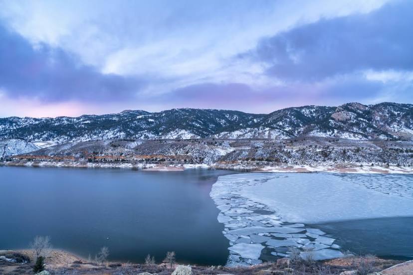
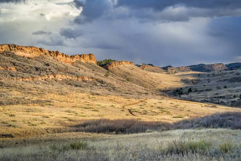
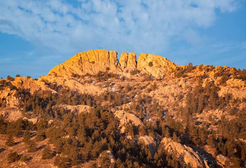
Loveland
Timnath
Bonner Springs — Fort Collins distance, route on the map
Distance by car
Distance between Bonner Springs, Kansas, United States and Fort Collins, Colorado, United States by car is — km, or miles. To travel this distance by car, you need minute, or h.
Route on the map, driving directions
Car route Bonner Springs — Fort Collins was created automatically. The road on the map is shown as a blue line. By moving the markers, you can create a new route through the points you need.
Passing cities through which the car route passes: Tonganoxie, Lawrence, Topeka, Berryton, Willard, Paxico, Junction City, Solomon, Salina, Saline County, Dorrance, Russell County, Russell, Hays, Ellis, WaKeeney, Voda, Collyer, Quinter, Grainfield, Colby, Goodland, Burlington, Stratton, Seibert, Flagler, Arriba, Limon, Deer Trail, Byers, Watkins, Denver, Denver International Airport, Henderson, Dacono, Rancho De Aereo Airport, Mead, Loveland, Timnath.
Distance by plane
If you decide to take a trip Bonner Springs Fort Collins by plane, then you have to fly the distance — 887 km or 550 miles. It is marked on the map with a gray line (between two points in a straight line).
Flight time
Estimated flight time Bonner Springs Fort Collins by plane at cruising speed 750 km / h will be — 1 h. and 10 min.
Direction of movement
United States, Bonner Springs — right-hand traffic. United States, Fort Collins — right-hand traffic.
Difference in time
Bonner Springs and Fort Collins are in different time zones. The time difference is 1 hour (UTC -5 America/Chicago, UTC -6 America/Denver).
Interesting Facts
Information on alternative ways to get to your destination.
The length of this distance is about 2.2% of the total length of the equator.
The percentage of the population is clearly shown in the graph:
Bonner Springs — 6,776 (less by 122,476), Fort Collins — 129,252 residents.
The cost of travel
Calculate the cost of the trip yourself using the fuel consumption calculator, changing the data in the table.