Delbarton — Houston
Delbarton — Wilmington
Delbarton — Farmerville
Delbarton — Geer
Delbarton — Shelley
Delbarton — Johnson City
Delbarton — Montevallo
Delbarton — Blaine
Delbarton — Meteor
Delbarton — Bonneville County
Delbarton — Springdale
Delbarton — Kake
Delbarton — Keene
Delbarton — North Benton
Delbarton — Lewisburg
Delbarton — Brandon
Delbarton — Thurmond
Delbarton — Garvin
Delbarton — Destrehan
Chattaroy
South Williamson
Rawl
Huddy
Pikeville
Virgie
Dorton
McRoberts
Jenkins
Pound
Wise
Norton
Big Stone Gap
Pennington Gap
Shawanee
La Follette
Jacksboro
Caryville
Briceville
Oliver Springs
Harriman
Rockwood
Evensville
Dayton
Soddy-Daisy
Signal Mountain
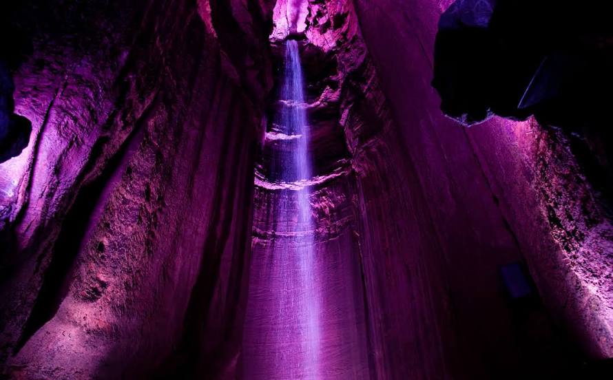
Delbarton — Chattanooga distance, route on the map
Distance by car
Distance between Delbarton, West Virginia, United States and Chattanooga, Tennessee, United States by car is — km, or miles. To travel this distance by car, you need minute, or h.
Route on the map, driving directions
Car route Delbarton — Chattanooga was created automatically. The road on the map is shown as a blue line. By moving the markers, you can create a new route through the points you need.
Passing cities through which the car route passes: Lenore, Chattaroy, South Williamson, Rawl, Huddy, Pikeville, Virgie, Dorton, McRoberts, Jenkins, Pound, Wise, Norton, Big Stone Gap, Pennington Gap, Shawanee, La Follette, Jacksboro, Caryville, Briceville, Oliver Springs, Harriman, Rockwood, Evensville, Dayton, Soddy-Daisy, Signal Mountain.
Distance by plane
If you decide to take a trip Delbarton Chattanooga by plane, then you have to fly the distance — 408 km or 253 miles. It is marked on the map with a gray line (between two points in a straight line).
Flight time
Estimated flight time Delbarton Chattanooga by plane at cruising speed 750 km / h will be — 32 min.
Direction of movement
United States, Delbarton — right-hand traffic. United States, Chattanooga — right-hand traffic.
Difference in time
Delbarton and Chattanooga are in the same time zone. Between them there is no time difference (UTC -4 America/New_York).
Interesting Facts
Information on alternative ways to get to your destination.
The length of this distance is about 1.0% of the total length of the equator.
The percentage of the population is clearly shown in the graph:
Delbarton — 437 (less by 153,587), Chattanooga — 154,024 residents.
The cost of travel
Calculate the cost of the trip yourself using the fuel consumption calculator, changing the data in the table.