Neal — Tidioute
Neal — Pattersonville
Neal — Woolwine
Neal — Malvern
Neal — Elmira
Neal — Thurman
Neal — Hedrick
Neal — Mississippi
Neal — Boykins
Neal — Latham
Neal — Folsom
Neal — Jackson County
Neal — Kellyton
Neal — Mossville
Neal — Chevy Chase
Neal — Sylvester Airport
Neal — Plymouth
Neal — Moshannon
Neal — Portis
El Dorado
Augusta
Andover
Wichita
Wichita
Wichita
Wichita
Wichita Dwight D. Eisenhower National Airport
Kingman
Pratt
Haviland
Greensburg
Bucklin
Liberal
Optima
Guymon
Texhoma
Stratford
Dalhart
Nara Visa
Tucumcari
Santa Rosa
Moriarty
Cedar Crest
Albuquerque
Albuquerque
United States
Paraje
Cubero
Prewitt
Thoreau
Perea
Gallup
Gallup
Mentmore
Lupton
Houck
Sanders
Chambers
Holbrook
Winslow
Flagstaff
Bellemont
Williams
Ash Fork
Seligman
Kingman
Yucca
Topock
Needles
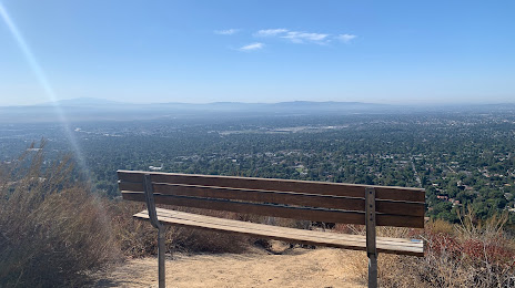
Neal — Sierra Madre distance, route on the map
Distance by car
Distance between Neal, Kansas, United States and Sierra Madre, California, United States by car is — km, or miles. To travel this distance by car, you need minute, or h.
Route on the map, driving directions
Car route Neal — Sierra Madre was created automatically. The road on the map is shown as a blue line. By moving the markers, you can create a new route through the points you need.
Passing cities through which the car route passes: Eureka, El Dorado, Augusta, Andover, Wichita, Wichita, Wichita, Wichita, Wichita Dwight D. Eisenhower National Airport, Kingman, Pratt, Haviland, Greensburg, Bucklin, Liberal, Optima, Guymon, Texhoma, Stratford, Dalhart, Nara Visa, Tucumcari, Santa Rosa, Moriarty, Cedar Crest, Albuquerque, Albuquerque, United States, Paraje, Cubero, Prewitt, Thoreau, Perea, Gallup, Gallup, Mentmore, Lupton, Houck, Sanders, Chambers, Holbrook, Winslow, Flagstaff, Bellemont, Williams, Ash Fork, Seligman, Kingman, Yucca, Topock, Needles.
Distance by plane
If you decide to take a trip Neal Sierra Madre by plane, then you have to fly the distance — 2014 km or 1249 miles. It is marked on the map with a gray line (between two points in a straight line).
Flight time
Estimated flight time Neal Sierra Madre by plane at cruising speed 750 km / h will be — 2 h. and 41 min.
Direction of movement
United States, Neal — right-hand traffic. United States, Sierra Madre — right-hand traffic.
Difference in time
Neal and Sierra Madre are in different time zones. The time difference is 2 hours (UTC -5 America/Chicago, UTC -7 America/Los_Angeles).
Interesting Facts
Information on alternative ways to get to your destination.
The length of this distance is about 5.0% of the total length of the equator.
The cost of travel
Calculate the cost of the trip yourself using the fuel consumption calculator, changing the data in the table.