
 Ciężkowice
Rzepiennik Strzyżewski
Ryglice
Płęsno
Lipnica
Czchów
Łapanów
Trzciano
Wolsztyn
Tomaszow Mazowiecki
Nowa Sarzyna
Lipiany
Czernice Borowe
Grudusk
Szreńsk
Załuski
Rybno
Płośnica
Kluczbork
Ciężkowice
Rzepiennik Strzyżewski
Ryglice
Płęsno
Lipnica
Czchów
Łapanów
Trzciano
Wolsztyn
Tomaszow Mazowiecki
Nowa Sarzyna
Lipiany
Czernice Borowe
Grudusk
Szreńsk
Załuski
Rybno
Płośnica
Kluczbork
Strzelin on the map, Poland
Where is located Strzelin
Exact location — Strzelin, Strzelin County, Lower Silesian Voivodeship, Poland, marked on the map with a red marker.
Coordinates
Strzelin, Poland coordinates in decimal format: latitude — 50.7812167, longitude — 17.0646124. When converted to degrees, minutes, seconds Strzelin has the following coordinates: 50°46′52.38 north latitude and 17°3′52.6 east longitude.
Population
Strzelin, Strzelin County, Lower Silesian Voivodeship, Poland, according to our data the population is — 12,394 residents, which is about 0% of the total population of the country (Poland).
Comparison of the population on the graph:
Exact time
Time zone for this location Strzelin — UTC +2 Europe/Warsaw. Exact time — thursday, 5 may 2024 year, 00 h. 22 minutes.
Sunrise and sunset
Strzelin, sunrise and sunset data for a date — thursday 16.05.2024.
| Sunrise | Sunset | Day (duration) |
|---|---|---|
| 05:04 -2 minutes | 20:31 +1 minute | 15 h. 30 minutes. +3 minutes |
You can control the scale of the map using the auxiliary tools to find out exactly where it is located Strzelin. When you change the scale of the map, the width of the ruler also changes (in kilometers and miles).
Nearby cities
The largest cities that are located nearby:
- Wrocław — 36 km
- Walbrzych — 55 km
- Opole — 61 km
- Legnica — 79 km
- Gliwice — 126 km
- Rybnik — 129 km
- Kalisz — 129 km
- Zabrze — 132 km
- Olomouc
 (Czech Republic) — 132 km
 - Ostrava (Czech Republic) — 136 km
- Bytom — 139 km
- Ruda Slaska — 139 km
- Częstochowa — 144 km
- Chorzow — 144 km
- Katowice — 150 km
- Sosnowiec — 154 km
- Dabrowa Gornicza — 159 km
- Zielona Gora — 166 km
- Bielsko-Biala — 177 km
Distance to neighboring capitals:
- Prague (Czech Republic) — 202 km
- Vienna
 (Austria) — 291 km
 - Bratislava
 (Slovakia) — 293 km
 - Berlin
 (Germany) — 318 km
 - Budapest
 (Hungary) — 392 km
 - Copenhagen
 (Denmark) — 621 km
 - Vilnius
 (Lithuania) — 703 km
 - Belgrade
 (Serbia) — 713 km
 - Minsk
 (Belarus) — 792 km
 - Bern
 (Switzerland) — 822 km
 - Rīga
 (Latvia) — 826 km
 - Amsterdam
 (Netherlands) — 858 km
 - Kyiv
 (Ukraine) — 949 km
 - Bucharest
 (Romania) — 978 km
 - Paris
 (France) — 1075 km
 - Helsinki
 (Finland) — 1155 km
 - Moscow
 (Russia) — 1468 km
 - Tbilisi
 (Georgia) — 2340 km
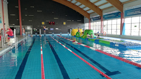
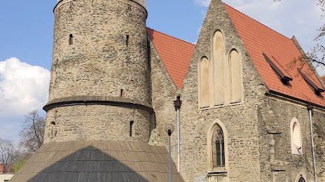
Attractions
Distance to the capital
Distance to the capital (Warsaw) is about — 317 km.