
 Debica
Bartoszyce
Ostroda
Lidzbark Warmiński
Morąg
Nidzica
Ketrzyn
Mragowo
Wlodawa
Gąbin
Rawa Mazowiecka
Dzialdowo
Mlawa
Pultusk
Braniewo
Rawicz
Łosice
Przysucha
Strzelin
Debica
Bartoszyce
Ostroda
Lidzbark Warmiński
Morąg
Nidzica
Ketrzyn
Mragowo
Wlodawa
Gąbin
Rawa Mazowiecka
Dzialdowo
Mlawa
Pultusk
Braniewo
Rawicz
Łosice
Przysucha
Strzelin
Wolsztyn on the map, Poland
Where is located Wolsztyn
Exact location — Wolsztyn, Wolsztyn County, Greater Poland Voivodeship, Poland, marked on the map with a red marker.
Coordinates
Wolsztyn, Poland coordinates in decimal format: latitude — 52.1150435, longitude — 16.1169851. When converted to degrees, minutes, seconds Wolsztyn has the following coordinates: 52°6′54.16 north latitude and 16°7′1.15 east longitude.
Population
Wolsztyn, Wolsztyn County, Greater Poland Voivodeship, Poland, according to our data the population is — 13,689 residents, which is about 0% of the total population of the country (Poland).
Comparison of the population on the graph:
Exact time
Time zone for this location Wolsztyn — UTC +2 Europe/Warsaw. Exact time — sunday, 5 may 2024 year, 14 h. 41 minute.
Sunrise and sunset
Wolsztyn, sunrise and sunset data for a date — sunday 12.05.2024.
| Sunrise | Sunset | Day (duration) |
|---|---|---|
| 05:09 -1 minute | 20:34 +1 minute | 15 h. 24 minutes. +2 minutes |
You can control the scale of the map using the auxiliary tools to find out exactly where it is located Wolsztyn. When you change the scale of the map, the width of the ruler also changes (in kilometers and miles).
Nearby cities
The largest cities that are located nearby:
- Zielona Gora — 46 km
- Poznań — 63 km
- Gorzów Wielkopolski — 90 km
- Legnica — 100 km
- Cottbus
 (Germany) — 128 km
 - Wrocław — 128 km
- Kalisz — 140 km
- Walbrzych — 148 km
- Bydgoszcz — 168 km
- Szczecin — 178 km
- Berlin (Germany) — 188 km
- Berlin (Germany) — 188 km
- Torun — 193 km
- Dresden (Germany) — 203 km
- Opole — 203 km
- Wloclawek — 207 km
- Potsdam (Germany) — 208 km
- Koszalin — 230 km
- Łódź — 232 km
Distance to neighboring capitals:
- Berlin (Germany) — 190 km
- Prague
 (Czech Republic) — 255 km
 - Vienna
 (Austria) — 435 km
 - Bratislava
 (Slovakia) — 447 km
 - Copenhagen
 (Denmark) — 459 km
 - Budapest
 (Hungary) — 555 km
 - Vilnius
 (Lithuania) — 671 km
 - Rīga
 (Latvia) — 744 km
 - Amsterdam
 (Netherlands) — 764 km
 - Minsk
 (Belarus) — 790 km
 - Bern
 (Switzerland) — 849 km
 - Belgrade
 (Serbia) — 875 km
 - Kyiv
 (Ukraine) — 1017 km
 - Paris
 (France) — 1037 km
 - Helsinki
 (Finland) — 1048 km
 - Bucharest
 (Romania) — 1128 km
 - Moscow
 (Russia) — 1458 km
 - Tbilisi
 (Georgia) — 2443 km
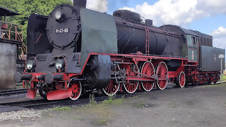
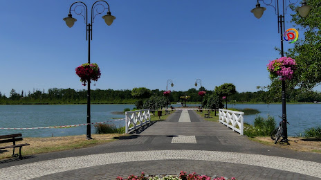
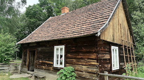
Attractions


Distance to the capital
Distance to the capital (Warsaw) is about — 334 km.