
 Trzciano
Wolsztyn
Smigiel
Zagan
Zgorzelec
Limanowa
Jabłonna
Znin
Chojnice
Swiebodzin
Puck
Nowa Karczma
Przodkowo
Wejherowo
Milicz
Trzebnica
Tomaszow Mazowiecki
Nowa Sarzyna
Lipiany
Trzciano
Wolsztyn
Smigiel
Zagan
Zgorzelec
Limanowa
Jabłonna
Znin
Chojnice
Swiebodzin
Puck
Nowa Karczma
Przodkowo
Wejherowo
Milicz
Trzebnica
Tomaszow Mazowiecki
Nowa Sarzyna
Lipiany
Dzialdowo on the map, Poland
Where is located Dzialdowo
Exact location — Dzialdowo, Działdowo County, Warmian-Masurian Voivodeship, Poland, marked on the map with a red marker.
Coordinates
Dzialdowo, Poland coordinates in decimal format: latitude — 53.2356765, longitude — 20.1799787. When converted to degrees, minutes, seconds Dzialdowo has the following coordinates: 53°14′8.44 north latitude and 20°10′47.92 east longitude.
Population
Dzialdowo, Działdowo County, Warmian-Masurian Voivodeship, Poland, according to our data the population is — 21,127 residents, which is about 0.1% of the total population of the country (Poland).
Comparison of the population on the graph:
Exact time
Time zone for this location Dzialdowo — UTC +2 Europe/Warsaw. Exact time — sunday, 5 may 2024 year, 14 h. 19 minutes.
Sunrise and sunset
Dzialdowo, sunrise and sunset data for a date — sunday 5.05.2024.
| Sunrise | Sunset | Day (duration) |
|---|---|---|
| 05:00 -2 minutes | 20:11 +2 minutes | 15 h. 12 minutes. +4 minutes |
You can control the scale of the map using the auxiliary tools to find out exactly where it is located Dzialdowo. When you change the scale of the map, the width of the ruler also changes (in kilometers and miles).
Nearby cities
The largest cities that are located nearby:
- Olsztyn — 63 km
- Plock — 83 km
- Wloclawek — 99 km
- Torun — 108 km
- Elblag — 113 km
- Bydgoszcz — 145 km
- Gdańsk — 158 km
- Kaliningrad
 (Russia) — 165 km
 - Łódź — 171 km
- Gdynia — 177 km
- Bialystok — 199 km
- Radom — 213 km
- Kalisz — 217 km
- Poznań — 238 km
- Kielce — 264 km
- Brest
 (Belarus) — 272 km
 - Lublin — 275 km
- Częstochowa — 278 km
- Klaipėda
 (Lithuania) — 279 km
Distance to neighboring capitals:
- Vilnius (Lithuania) — 371 km
- Berlin
 (Germany) — 462 km
 - Rīga
 (Latvia) — 483 km
 - Minsk (Belarus) — 493 km
- Prague
 (Czech Republic) — 529 km
 - Copenhagen
 (Denmark) — 562 km
 - Bratislava
 (Slovakia) — 606 km
 - Vienna
 (Austria) — 620 km
 - Budapest
 (Hungary) — 643 km
 - Kyiv
 (Ukraine) — 774 km
 - Helsinki
 (Finland) — 824 km
 - Belgrade
 (Serbia) — 940 km
 - Amsterdam
 (Netherlands) — 1030 km
 - Bucharest
 (Romania) — 1071 km
 - Bern
 (Switzerland) — 1144 km
 - Moscow (Russia) — 1157 km
- Paris
 (France) — 1334 km
 - Tbilisi
 (Georgia) — 2232 km
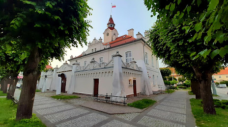
Attractions

Distance to the capital
Distance to the capital (Warsaw) is about — 125 km.