
 Morąg
Nidzica
Ketrzyn
Mragowo
Wlodawa
Ożarów Mazowiecki
Lubawa
Zambrow
Zgierz
Rzepiennik Strzyżewski
Ciężkowice
Wojnicz
Szczurowa
Gąbin
Rawa Mazowiecka
Dzialdowo
Mlawa
Pultusk
Braniewo
Morąg
Nidzica
Ketrzyn
Mragowo
Wlodawa
Ożarów Mazowiecki
Lubawa
Zambrow
Zgierz
Rzepiennik Strzyżewski
Ciężkowice
Wojnicz
Szczurowa
Gąbin
Rawa Mazowiecka
Dzialdowo
Mlawa
Pultusk
Braniewo
Limanowa on the map, Poland
Where is located Limanowa
Exact location — Limanowa, Limanowa County, Lesser Poland Voivodeship, Poland, marked on the map with a red marker.
Coordinates
Limanowa, Poland coordinates in decimal format: latitude — 49.70587, longitude — 20.42228. When converted to degrees, minutes, seconds Limanowa has the following coordinates: 49°42′21.13 north latitude and 20°25′20.21 east longitude.
Population
Limanowa, Limanowa County, Lesser Poland Voivodeship, Poland, according to our data the population is — 14,714 residents, which is about 0% of the total population of the country (Poland).
Comparison of the population on the graph:
Exact time
Time zone for this location Limanowa — UTC +2 Europe/Warsaw. Exact time — friday, 5 may 2024 year, 14 h. 32 minutes.
Sunrise and sunset
Limanowa, sunrise and sunset data for a date — friday 3.05.2024.
| Sunrise | Sunset | Day (duration) |
|---|---|---|
| 05:14 -2 minutes | 19:55 +2 minutes | 14 h. 42 minutes. +4 minutes |
You can control the scale of the map using the auxiliary tools to find out exactly where it is located Limanowa. When you change the scale of the map, the width of the ruler also changes (in kilometers and miles).
Nearby cities
The largest cities that are located nearby:
- Kraków — 52 km
- Tarnow — 52 km
- Bielsko-Biala — 98 km
- Dabrowa Gornicza — 110 km
- Sosnowiec — 113 km
- Katowice — 117 km
- Rzeszow — 118 km
- Chorzow — 123 km
- Košice
 (Slovakia) — 125 km
 - Ruda Slaska — 126 km
- Bytom — 128 km
- Kielce — 129 km
- Zabrze — 134 km
- Gliwice — 140 km
- Rybnik — 140 km
- Częstochowa — 152 km
- Ostrava
 (Czech Republic) — 155 km
 - Miskolc
 (Hungary) — 180 km
 - Uzhhorod
 (Ukraine) — 182 km
Distance to neighboring capitals:
- Budapest (Hungary) — 266 km
- Bratislava (Slovakia) — 298 km
- Vienna
 (Austria) — 339 km
 - Prague (Czech Republic) — 431 km
- Belgrade
 (Serbia) — 547 km
 - Berlin
 (Germany) — 581 km
 - Vilnius
 (Lithuania) — 645 km
 - Minsk
 (Belarus) — 677 km
 - Kyiv (Ukraine) — 725 km
- Bucharest
 (Romania) — 728 km
 - Rīga
 (Latvia) — 842 km
 - Copenhagen
 (Denmark) — 848 km
 - Bern
 (Switzerland) — 1006 km
 - Amsterdam
 (Netherlands) — 1123 km
 - Helsinki
 (Finland) — 1199 km
 - Paris
 (France) — 1311 km
 - Moscow
 (Russia) — 1334 km
 - Tbilisi
 (Georgia) — 2078 km
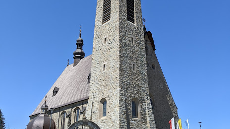
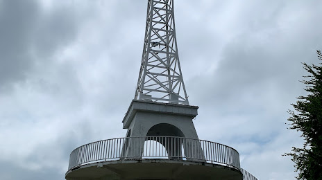
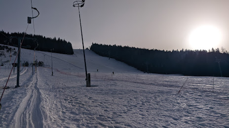
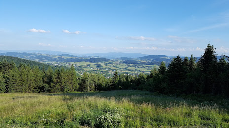
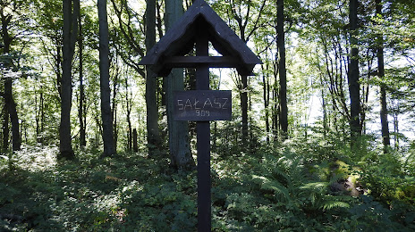
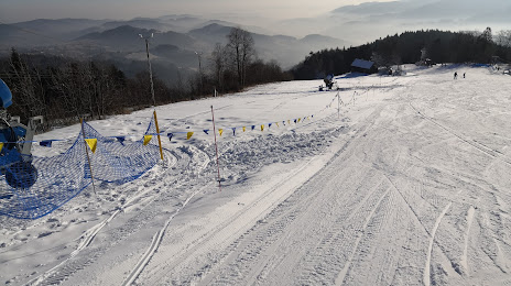
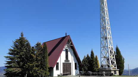
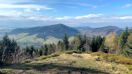
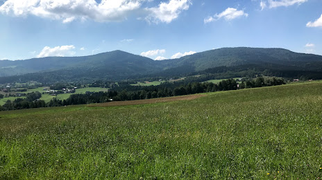
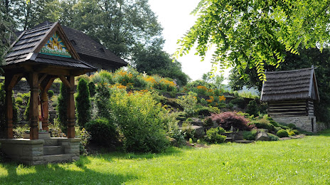
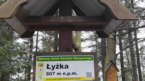
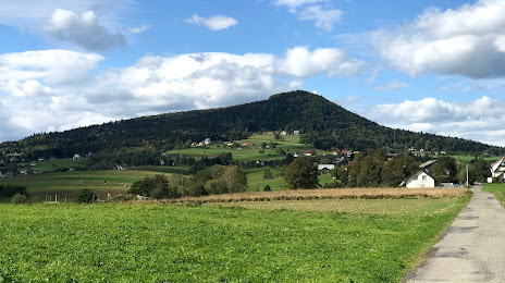
Attractions


Distance to the capital
Distance to the capital (Warsaw) is about — 284 km.