
 Wiecbork
Sepolno Krajenskie
Zdzieszowice
Piekary Slaskie
Glinojeck
Żyrardów
Siemianowice Slaskie
Myszkow
Krynica Morska
Tarnowskie Gory
Solec Kujawski
Chojnice
Znin
Jabłonna
Limanowa
Zgorzelec
Zagan
Smigiel
Wolsztyn
Wiecbork
Sepolno Krajenskie
Zdzieszowice
Piekary Slaskie
Glinojeck
Żyrardów
Siemianowice Slaskie
Myszkow
Krynica Morska
Tarnowskie Gory
Solec Kujawski
Chojnice
Znin
Jabłonna
Limanowa
Zgorzelec
Zagan
Smigiel
Wolsztyn
Wlodawa on the map, Poland
Where is located Wlodawa
Exact location — Wlodawa, Włodawa County, Lublin Voivodeship, Poland, marked on the map with a red marker.
Coordinates
Wlodawa, Poland coordinates in decimal format: latitude — 51.55178, longitude — 23.55434. When converted to degrees, minutes, seconds Wlodawa has the following coordinates: 51°33′6.41 north latitude and 23°33′15.62 east longitude.
Population
Wlodawa, Włodawa County, Lublin Voivodeship, Poland, according to our data the population is — 13,142 residents, which is about 0% of the total population of the country (Poland).
Comparison of the population on the graph:
Exact time
Time zone for this location Wlodawa — UTC +2 Europe/Warsaw. Exact time — saturday, 5 may 2024 year, 17 h. 21 minute.
Sunrise and sunset
Wlodawa, sunrise and sunset data for a date — saturday 4.05.2024.
| Sunrise | Sunset | Day (duration) |
|---|---|---|
| 04:54 -2 minutes | 19:50 +2 minutes | 14 h. 54 minutes. +4 minutes |
You can control the scale of the map using the auxiliary tools to find out exactly where it is located Wlodawa. When you change the scale of the map, the width of the ruler also changes (in kilometers and miles).
Nearby cities
The largest cities that are located nearby:
- Brest
 (Belarus) — 62 km
 - Lublin — 76 km
- Radom — 167 km
- Bialystok — 177 km
- Pinsk (Belarus) — 183 km
- Rzeszow — 200 km
- Rivne
 (Ukraine) — 215 km
 - Kielce — 218 km
- Baranovichi (Belarus) — 238 km
- Tarnow — 250 km
- Plock — 281 km
- Łódź — 281 km
- Salihorsk (Belarus) — 299 km
- Kraków — 304 km
- Olsztyn — 318 km
- Częstochowa — 320 km
- Wloclawek — 324 km
- Dabrowa Gornicza — 336 km
- Uzhhorod (Ukraine) — 337 km
Distance to neighboring capitals:
- Vilnius
 (Lithuania) — 367 km
 - Minsk (Belarus) — 376 km
- Kyiv (Ukraine) — 503 km
- Budapest
 (Hungary) — 556 km
 - Bratislava
 (Slovakia) — 597 km
 - Rīga
 (Latvia) — 601 km
 - Vienna
 (Austria) — 634 km
 - Prague
 (Czech Republic) — 661 km
 - Berlin
 (Germany) — 702 km
 - Belgrade
 (Serbia) — 787 km
 - Bucharest
 (Romania) — 815 km
 - Copenhagen
 (Denmark) — 856 km
 - Helsinki
 (Finland) — 963 km
 - Moscow
 (Russia) — 1036 km
 - Bern
 (Switzerland) — 1273 km
 - Amsterdam
 (Netherlands) — 1279 km
 - Paris
 (France) — 1533 km
 - Tbilisi
 (Georgia) — 1945 km
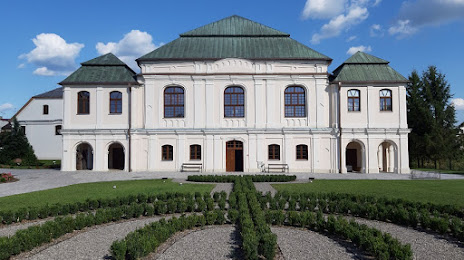
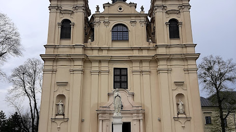
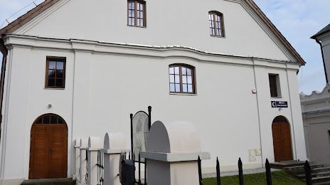
Attractions

Distance to the capital
Distance to the capital (Warsaw) is about — 190 km.