
 Ożarów Mazowiecki
Lubawa
Zambrow
Zgierz
Sianow
Darlowo
Miastko
Lebork
Osielsko
Łapanów
Czchów
Lipnica
Płęsno
Ryglice
Rzepiennik Strzyżewski
Ciężkowice
Wojnicz
Szczurowa
Gąbin
Ożarów Mazowiecki
Lubawa
Zambrow
Zgierz
Sianow
Darlowo
Miastko
Lebork
Osielsko
Łapanów
Czchów
Lipnica
Płęsno
Ryglice
Rzepiennik Strzyżewski
Ciężkowice
Wojnicz
Szczurowa
Gąbin
Tarnowskie Gory on the map, Poland
Where is located Tarnowskie Gory
Exact location — Tarnowskie Gory, Tarnowskie Góry County, Silesian Voivodeship, Poland, marked on the map with a red marker.
Coordinates
Tarnowskie Gory, Poland coordinates in decimal format: latitude — 50.4359468, longitude — 18.8460247. When converted to degrees, minutes, seconds Tarnowskie Gory has the following coordinates: 50°26′9.41 north latitude and 18°50′45.69 east longitude.
Population
Tarnowskie Gory, Tarnowskie Góry County, Silesian Voivodeship, Poland, according to our data the population is — 60,938 residents, which is about 0.2% of the total population of the country (Poland).
Comparison of the population on the graph:
Exact time
Time zone for this location Tarnowskie Gory — UTC +2 Europe/Warsaw. Exact time — wednesday, 5 may 2024 year, 11 h. 21 minute.
Sunrise and sunset
Tarnowskie Gory, sunrise and sunset data for a date — wednesday 8.05.2024.
| Sunrise | Sunset | Day (duration) |
|---|---|---|
| 05:10 -2 minutes | 20:11 +2 minutes | 15 h. 0 minutes. +4 minutes |
You can control the scale of the map using the auxiliary tools to find out exactly where it is located Tarnowskie Gory. When you change the scale of the map, the width of the ruler also changes (in kilometers and miles).
Nearby cities
The largest cities that are located nearby:
- Bytom — 11 km
- Zabrze — 13 km
- Chorzow — 17 km
- Gliwice — 20 km
- Ruda Slaska — 20 km
- Katowice — 23 km
- Sosnowiec — 25 km
- Dabrowa Gornicza — 28 km
- Rybnik — 43 km
- Częstochowa — 46 km
- Bielsko-Biala — 70 km
- Opole — 70 km
- Ostrava
 (Czech Republic) — 80 km
 - Kraków — 88 km
- Kielce — 133 km
- Wrocław — 146 km
- Olomouc (Czech Republic) — 147 km
- Łódź — 152 km
- Kalisz — 156 km
Distance to neighboring capitals:
- Bratislava
 (Slovakia) — 284 km
 - Vienna
 (Austria) — 306 km
 - Prague (Czech Republic) — 316 km
- Budapest
 (Hungary) — 327 km
 - Berlin
 (Germany) — 442 km
 - Belgrade
 (Serbia) — 640 km
 - Vilnius
 (Lithuania) — 642 km
 - Minsk
 (Belarus) — 708 km
 - Copenhagen
 (Denmark) — 718 km
 - Rīga
 (Latvia) — 802 km
 - Kyiv
 (Ukraine) — 826 km
 - Bucharest
 (Romania) — 862 km
 - Bern
 (Switzerland) — 921 km
 - Amsterdam
 (Netherlands) — 990 km
 - Helsinki
 (Finland) — 1149 km
 - Paris
 (France) — 1198 km
 - Moscow
 (Russia) — 1381 km
 - Tbilisi
 (Georgia) — 2208 km
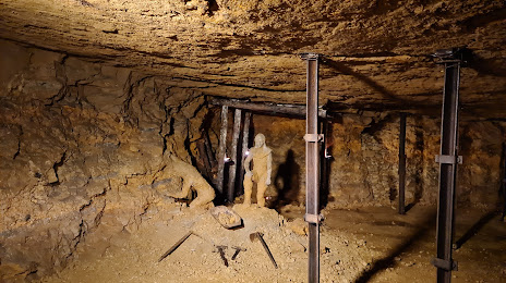
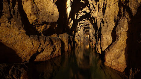
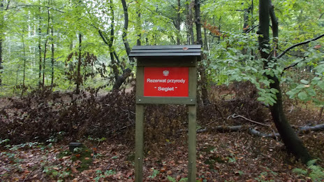
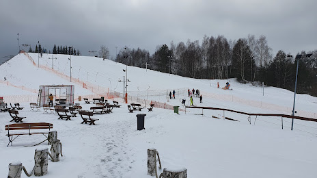
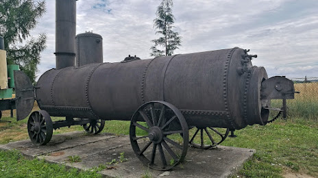
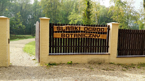
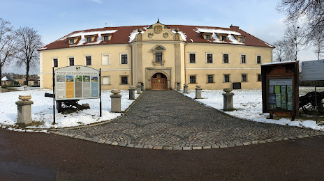
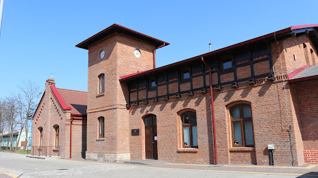
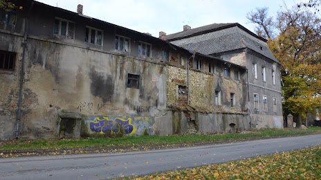
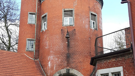
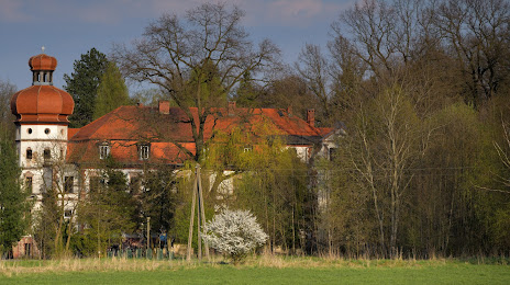
Attractions


Distance to the capital
Distance to the capital (Warsaw) is about — 250 km.