
 Siemianowice Slaskie
Myszkow
Krynica Morska
Skwierzyna
Cedynia
Świątniki Górne
Trzemeszno
Wladyslawowo
Jaworzno
Lidzbark Warmiński
Ostroda
Bartoszyce
Debica
Szczucin
Krasnik
Tarnowskie Gory
Solec Kujawski
Chojnice
Znin
Siemianowice Slaskie
Myszkow
Krynica Morska
Skwierzyna
Cedynia
Świątniki Górne
Trzemeszno
Wladyslawowo
Jaworzno
Lidzbark Warmiński
Ostroda
Bartoszyce
Debica
Szczucin
Krasnik
Tarnowskie Gory
Solec Kujawski
Chojnice
Znin
Darlowo on the map, Poland
Where is located Darlowo
Exact location — Darlowo, Sławno County, West Pomeranian Voivodeship, Poland, marked on the map with a red marker.
Coordinates
Darlowo, Poland coordinates in decimal format: latitude — 54.4210664, longitude — 16.410611. When converted to degrees, minutes, seconds Darlowo has the following coordinates: 54°25′15.84 north latitude and 16°24′38.2 east longitude.
Population
Darlowo, Sławno County, West Pomeranian Voivodeship, Poland, according to our data the population is — 14,398 residents, which is about 0% of the total population of the country (Poland).
Comparison of the population on the graph:
Exact time
Time zone for this location Darlowo — UTC +2 Europe/Warsaw. Exact time — sunday, 5 may 2024 year, 06 h. 33 minutes.
Sunrise and sunset
Darlowo, sunrise and sunset data for a date — sunday 12.05.2024.
| Sunrise | Sunset | Day (duration) |
|---|---|---|
| 04:58 -2 minutes | 20:43 +2 minutes | 15 h. 48 minutes. +4 minutes |
You can control the scale of the map using the auxiliary tools to find out exactly where it is located Darlowo. When you change the scale of the map, the width of the ruler also changes (in kilometers and miles).
Nearby cities
The largest cities that are located nearby:
- Koszalin — 29 km
- Gdynia — 136 km
- Gdańsk — 144 km
- Szczecin — 164 km
- Bydgoszcz — 178 km
- Elblag — 196 km
- Gorzów Wielkopolski — 203 km
- Torun — 213 km
- Poznań — 225 km
- Malmö
 (Sweden) — 250 km
 - Kaliningrad
 (Russia) — 264 km
 - Wloclawek — 265 km
- Olsztyn — 275 km
- Copenhagen
 (Denmark) — 277 km
 - Zielona Gora — 282 km
- Rostock
 (Germany) — 282 km
 - Berlin (Germany) — 292 km
- Berlin (Germany) — 294 km
- Plock — 303 km
Distance to neighboring capitals:
- Copenhagen (Denmark) — 282 km
- Berlin (Germany) — 290 km
- Prague
 (Czech Republic) — 502 km
 - Rīga
 (Latvia) — 558 km
 - Vilnius
 (Lithuania) — 572 km
 - Vienna
 (Austria) — 691 km
 - Bratislava
 (Slovakia) — 700 km
 - Minsk
 (Belarus) — 728 km
 - Budapest
 (Hungary) — 792 km
 - Amsterdam
 (Netherlands) — 796 km
 - Helsinki
 (Finland) — 819 km
 - Bern
 (Switzerland) — 1042 km
 - Kyiv
 (Ukraine) — 1052 km
 - Belgrade
 (Serbia) — 1110 km
 - Paris
 (France) — 1148 km
 - Bucharest
 (Romania) — 1312 km
 - Moscow (Russia) — 1353 km
- Tbilisi
 (Georgia) — 2511 km
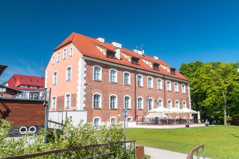
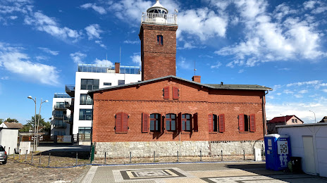
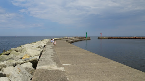
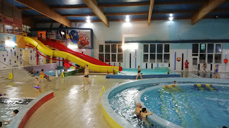
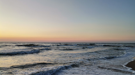
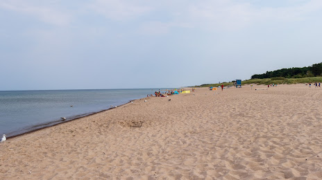
Attractions
Distance to the capital
Distance to the capital (Warsaw) is about — 391 km.