
 Ketrzyn
Mragowo
Wlodawa
Ożarów Mazowiecki
Lubawa
Zambrow
Zgierz
Sianow
Darlowo
Płęsno
Ryglice
Rzepiennik Strzyżewski
Ciężkowice
Wojnicz
Szczurowa
Gąbin
Rawa Mazowiecka
Dzialdowo
Mlawa
Ketrzyn
Mragowo
Wlodawa
Ożarów Mazowiecki
Lubawa
Zambrow
Zgierz
Sianow
Darlowo
Płęsno
Ryglice
Rzepiennik Strzyżewski
Ciężkowice
Wojnicz
Szczurowa
Gąbin
Rawa Mazowiecka
Dzialdowo
Mlawa
Znin on the map, Poland
Where is located Znin
Exact location — Znin, Żnin County, Kuyavian-Pomeranian Voivodeship, Poland, marked on the map with a red marker.
Coordinates
Znin, Poland coordinates in decimal format: latitude — 52.8493847, longitude — 17.719477. When converted to degrees, minutes, seconds Znin has the following coordinates: 52°50′57.78 north latitude and 17°43′10.12 east longitude.
Population
Znin, Żnin County, Kuyavian-Pomeranian Voivodeship, Poland, according to our data the population is — 14,008 residents, which is about 0% of the total population of the country (Poland).
Comparison of the population on the graph:
Exact time
Time zone for this location Znin — UTC +2 Europe/Warsaw. Exact time — wednesday, 5 may 2024 year, 15 h. 33 minutes.
Sunrise and sunset
Znin, sunrise and sunset data for a date — wednesday 8.05.2024.
| Sunrise | Sunset | Day (duration) |
|---|---|---|
| 05:06 -2 minutes | 20:24 +2 minutes | 15 h. 18 minutes. +4 minutes |
You can control the scale of the map using the auxiliary tools to find out exactly where it is located Znin. When you change the scale of the map, the width of the ruler also changes (in kilometers and miles).
Nearby cities
The largest cities that are located nearby:
- Bydgoszcz — 36 km
- Torun — 61 km
- Poznań — 73 km
- Wloclawek — 93 km
- Kalisz — 122 km
- Plock — 138 km
- Gorzów Wielkopolski — 167 km
- Łódź — 169 km
- Gdańsk — 177 km
- Koszalin — 179 km
- Elblag — 181 km
- Zielona Gora — 182 km
- Gdynia — 192 km
- Wrocław — 198 km
- Olsztyn — 208 km
- Legnica — 211 km
- Szczecin — 218 km
- Opole — 241 km
- Częstochowa — 246 km
Distance to neighboring capitals:
- Berlin
 (Germany) — 293 km
 - Prague
 (Czech Republic) — 383 km
 - Copenhagen
 (Denmark) — 459 km
 - Vienna
 (Austria) — 525 km
 - Bratislava
 (Slovakia) — 525 km
 - Vilnius
 (Lithuania) — 537 km
 - Budapest
 (Hungary) — 603 km
 - Rīga
 (Latvia) — 612 km
 - Minsk
 (Belarus) — 663 km
 - Amsterdam
 (Netherlands) — 867 km
 - Belgrade
 (Serbia) — 919 km
 - Kyiv
 (Ukraine) — 922 km
 - Helsinki
 (Finland) — 926 km
 - Bern
 (Switzerland) — 985 km
 - Bucharest
 (Romania) — 1120 km
 - Paris
 (France) — 1164 km
 - Moscow
 (Russia) — 1326 km
 - Tbilisi
 (Georgia) — 2367 km
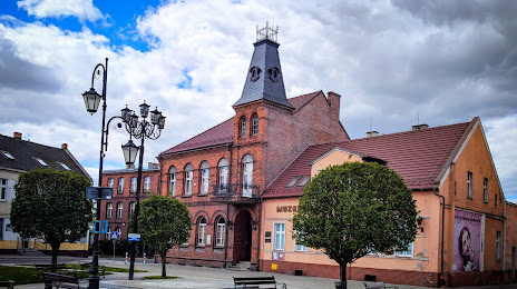
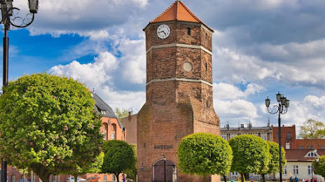
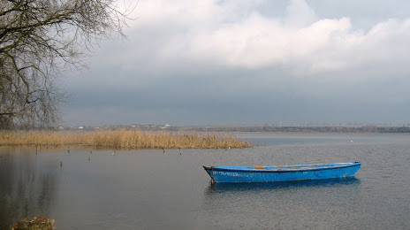
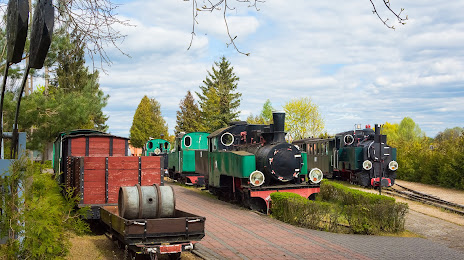
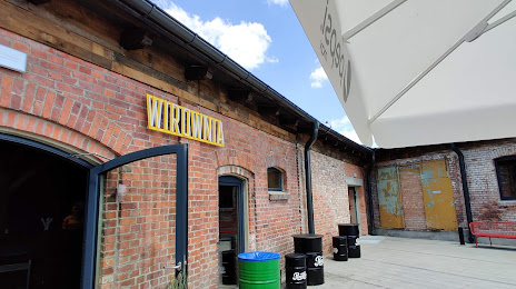
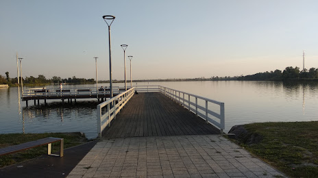
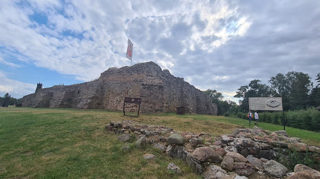
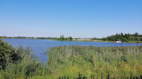
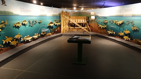
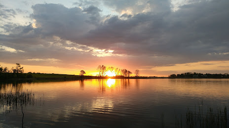
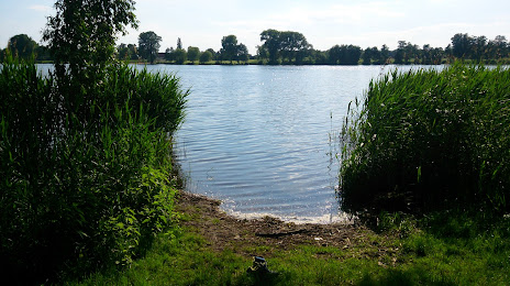
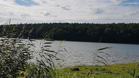
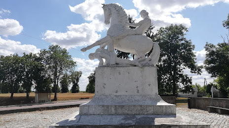
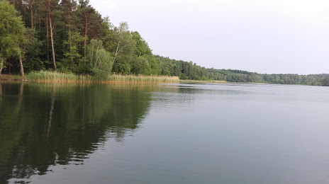
Attractions


Distance to the capital
Distance to the capital (Warsaw) is about — 233 km.