
 Siemiatycze
Mońki
Pisz
Łopiennik Górny
Pruszcz Gdański
Rumia
Kartuzy
Malbork
Nowy Dwór
Miastko
Darlowo
Sianow
Zgierz
Zambrow
Lubawa
Ożarów Mazowiecki
Wlodawa
Mragowo
Ketrzyn
Siemiatycze
Mońki
Pisz
Łopiennik Górny
Pruszcz Gdański
Rumia
Kartuzy
Malbork
Nowy Dwór
Miastko
Darlowo
Sianow
Zgierz
Zambrow
Lubawa
Ożarów Mazowiecki
Wlodawa
Mragowo
Ketrzyn
Siemianowice Slaskie on the map, Poland
Where is located Siemianowice Slaskie
Exact location — Siemianowice Slaskie, Siemianowice Śląskie, Silesian Voivodeship, Poland, marked on the map with a red marker.
Coordinates
Siemianowice Slaskie, Poland coordinates in decimal format: latitude — 50.3264314, longitude — 19.0295714. When converted to degrees, minutes, seconds Siemianowice Slaskie has the following coordinates: 50°19′35.15 north latitude and 19°1′46.46 east longitude.
Population
Siemianowice Slaskie, Siemianowice Śląskie, Silesian Voivodeship, Poland, according to our data the population is — 73,121 residents, which is about 0.2% of the total population of the country (Poland).
Comparison of the population on the graph:
Exact time
Time zone for this location Siemianowice Slaskie — UTC +2 Europe/Warsaw. Exact time — wednesday, 5 may 2024 year, 11 h. 27 minutes.
Sunrise and sunset
Siemianowice Slaskie, sunrise and sunset data for a date — wednesday 8.05.2024.
| Sunrise | Sunset | Day (duration) |
|---|---|---|
| 05:10 -1 minute | 20:10 +2 minutes | 15 h. 0 minutes. +3 minutes |
You can control the scale of the map using the auxiliary tools to find out exactly where it is located Siemianowice Slaskie. When you change the scale of the map, the width of the ruler also changes (in kilometers and miles).
Nearby cities
The largest cities that are located nearby:
- Chorzow — 6 km
- Katowice — 7 km
- Sosnowiec — 7 km
- Bytom — 8 km
- Dabrowa Gornicza — 12 km
- Ruda Slaska — 15 km
- Zabrze — 17 km
- Gliwice — 26 km
- Rybnik — 42 km
- Częstochowa — 54 km
- Bielsko-Biala — 56 km
- Kraków — 71 km
- Ostrava
 (Czech Republic) — 78 km
 - Opole — 87 km
- Kielce — 127 km
- Tarnow — 143 km
- Olomouc (Czech Republic) — 151 km
- Łódź — 161 km
- Wrocław — 163 km
Distance to neighboring capitals:
- Bratislava
 (Slovakia) — 280 km
 - Vienna
 (Austria) — 304 km
 - Budapest
 (Hungary) — 315 km
 - Prague (Czech Republic) — 328 km
- Berlin
 (Germany) — 460 km
 - Belgrade
 (Serbia) — 625 km
 - Vilnius
 (Lithuania) — 643 km
 - Minsk
 (Belarus) — 705 km
 - Copenhagen
 (Denmark) — 735 km
 - Rīga
 (Latvia) — 809 km
 - Kyiv
 (Ukraine) — 814 km
 - Bucharest
 (Romania) — 844 km
 - Bern
 (Switzerland) — 929 km
 - Amsterdam
 (Netherlands) — 1006 km
 - Helsinki
 (Finland) — 1156 km
 - Paris
 (France) — 1211 km
 - Moscow
 (Russia) — 1376 km
 - Tbilisi
 (Georgia) — 2193 km
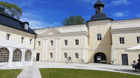
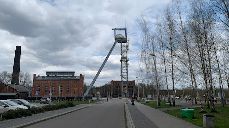
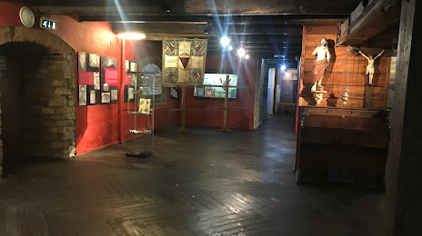
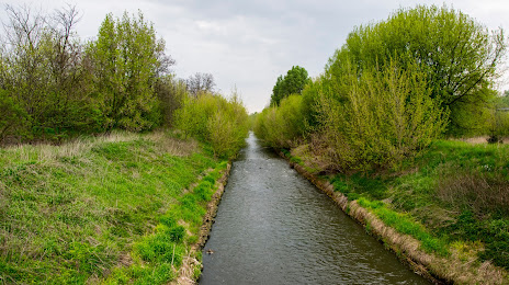
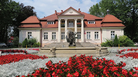
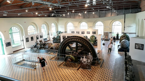
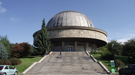
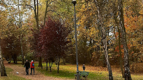
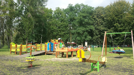
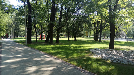
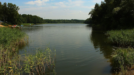
Attractions
Distance to the capital
Distance to the capital (Warsaw) is about — 253 km.