
 Łaziska
Bystrzyca Klodzka
Sadów
Nieporęt
Pomiechówek
Zabki
Zakroczym
Wiązowna
Celestynów
Wladyslawowo
Trzemeszno
Świątniki Górne
Cedynia
Skwierzyna
Krynica Morska
Myszkow
Siemianowice Slaskie
Żyrardów
Glinojeck
Łaziska
Bystrzyca Klodzka
Sadów
Nieporęt
Pomiechówek
Zabki
Zakroczym
Wiązowna
Celestynów
Wladyslawowo
Trzemeszno
Świątniki Górne
Cedynia
Skwierzyna
Krynica Morska
Myszkow
Siemianowice Slaskie
Żyrardów
Glinojeck
Kartuzy on the map, Poland
Where is located Kartuzy
Exact location — Kartuzy, Kartuzy County, Pomeranian Voivodeship, Poland, marked on the map with a red marker.
Coordinates
Kartuzy, Poland coordinates in decimal format: latitude — 54.3343, longitude — 18.1972. When converted to degrees, minutes, seconds Kartuzy has the following coordinates: 54°20′3.48 north latitude and 18°11′49.92 east longitude.
Population
Kartuzy, Kartuzy County, Pomeranian Voivodeship, Poland, according to our data the population is — 15,002 residents, which is about 0% of the total population of the country (Poland).
Comparison of the population on the graph:
Exact time
Time zone for this location Kartuzy — UTC +2 Europe/Warsaw. Exact time — thursday, 5 may 2024 year, 14 h. 39 minutes.
Sunrise and sunset
Kartuzy, sunrise and sunset data for a date — thursday 9.05.2024.
| Sunrise | Sunset | Day (duration) |
|---|---|---|
| 04:56 -2 minutes | 20:30 +2 minutes | 15 h. 36 minutes. +4 minutes |
You can control the scale of the map using the auxiliary tools to find out exactly where it is located Kartuzy. When you change the scale of the map, the width of the ruler also changes (in kilometers and miles).
Nearby cities
The largest cities that are located nearby:
- Gdańsk — 29 km
- Gdynia — 30 km
- Elblag — 81 km
- Koszalin — 132 km
- Bydgoszcz — 134 km
- Torun — 148 km
- Kaliningrad
 (Russia) — 154 km
 - Olsztyn — 161 km
- Wloclawek — 195 km
- Plock — 222 km
- Poznań — 230 km
- Klaipėda
 (Lithuania) — 238 km
 - Szczecin — 260 km
- Gorzów Wielkopolski — 266 km
- Kalisz — 284 km
- Łódź — 297 km
- Zielona Gora — 322 km
- Malmö
 (Sweden) — 354 km
 - Bialystok — 356 km
Distance to neighboring capitals:
- Berlin
 (Germany) — 376 km
 - Copenhagen
 (Denmark) — 389 km
 - Vilnius (Lithuania) — 459 km
- Rīga
 (Latvia) — 471 km
 - Prague
 (Czech Republic) — 538 km
 - Minsk
 (Belarus) — 612 km
 - Bratislava
 (Slovakia) — 692 km
 - Vienna
 (Austria) — 693 km
 - Budapest
 (Hungary) — 763 km
 - Helsinki
 (Finland) — 765 km
 - Amsterdam
 (Netherlands) — 908 km
 - Kyiv
 (Ukraine) — 940 km
 - Belgrade
 (Serbia) — 1074 km
 - Bern
 (Switzerland) — 1116 km
 - Bucharest
 (Romania) — 1240 km
 - Moscow (Russia) — 1243 km
- Paris
 (France) — 1249 km
 - Tbilisi
 (Georgia) — 2402 km
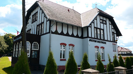
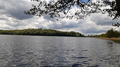
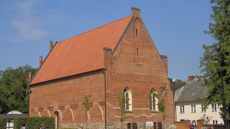
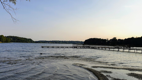
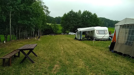
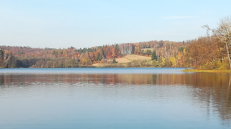
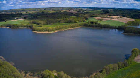
Attractions


Distance to the capital
Distance to the capital (Warsaw) is about — 300 km.