
 Mikolajki
Stopnica
Wojciechów
Lubsza
Dobroń
Radzyn Podlaski
Jastrowie
Czarnkow
Wielen
Kartuzy
Rumia
Pruszcz Gdański
Łopiennik Górny
Pisz
Mońki
Siemiatycze
Bielsk Podlaski
Karczew
Lipno
Mikolajki
Stopnica
Wojciechów
Lubsza
Dobroń
Radzyn Podlaski
Jastrowie
Czarnkow
Wielen
Kartuzy
Rumia
Pruszcz Gdański
Łopiennik Górny
Pisz
Mońki
Siemiatycze
Bielsk Podlaski
Karczew
Lipno
Drezdenko on the map, Poland
Where is located Drezdenko
Exact location — Drezdenko, Strzelce-Drezdenko County, Lubusz Voivodeship, Poland, marked on the map with a red marker.
Coordinates
Drezdenko, Poland coordinates in decimal format: latitude — 52.83797, longitude — 15.83104. When converted to degrees, minutes, seconds Drezdenko has the following coordinates: 52°50′16.69 north latitude and 15°49′51.74 east longitude.
Population
Drezdenko, Strzelce-Drezdenko County, Lubusz Voivodeship, Poland, according to our data the population is — 10,541 residents, which is about 0% of the total population of the country (Poland).
Comparison of the population on the graph:
Exact time
Time zone for this location Drezdenko — UTC +2 Europe/Warsaw. Exact time — monday, 4 april 2024 year, 03 h. 14 minutes.
Sunrise and sunset
Drezdenko, sunrise and sunset data for a date — monday 29.04.2024.
| Sunrise | Sunset | Day (duration) |
|---|---|---|
| 05:31 -2 minutes | 20:16 +1 minute | 14 h. 48 minutes. +3 minutes |
You can control the scale of the map using the auxiliary tools to find out exactly where it is located Drezdenko. When you change the scale of the map, the width of the ruler also changes (in kilometers and miles).
Nearby cities
The largest cities that are located nearby:
- Gorzów Wielkopolski — 41 km
- Poznań — 88 km
- Zielona Gora — 102 km
- Szczecin — 107 km
- Bydgoszcz — 148 km
- Koszalin — 152 km
- Cottbus
 (Germany) — 158 km
 - Berlin (Germany) — 167 km
- Berlin (Germany) — 168 km
- Legnica — 182 km
- Torun — 185 km
- Potsdam (Germany) — 193 km
- Kalisz — 194 km
- Wrocław — 209 km
- Wloclawek — 218 km
- Walbrzych — 229 km
- Dresden (Germany) — 245 km
- Gdańsk — 247 km
- Gdynia — 254 km
Distance to neighboring capitals:
- Berlin (Germany) — 167 km
- Prague
 (Czech Republic) — 322 km
 - Copenhagen
 (Denmark) — 380 km
 - Vienna
 (Austria) — 516 km
 - Bratislava
 (Slovakia) — 530 km
 - Budapest
 (Hungary) — 636 km
 - Vilnius
 (Lithuania) — 654 km
 - Rīga
 (Latvia) — 699 km
 - Amsterdam
 (Netherlands) — 740 km
 - Minsk
 (Belarus) — 786 km
 - Bern
 (Switzerland) — 888 km
 - Belgrade
 (Serbia) — 957 km
 - Helsinki
 (Finland) — 987 km
 - Paris
 (France) — 1043 km
 - Kyiv
 (Ukraine) — 1046 km
 - Bucharest
 (Romania) — 1200 km
 - Moscow
 (Russia) — 1444 km
 - Tbilisi
 (Georgia) — 2486 km
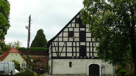
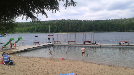
Attractions
Distance to the capital
Distance to the capital (Warsaw) is about — 357 km.