
 Rogozno
Chodziez
Opoczno
Przeworsk
Ostrzeszow
Harasiuki
Deblin
Wojkowice
Gorzyce
Drezdenko
Międzyrzecz
Pobiedziska
Kórnik
Sroda Wielkopolska
Nowy Tomysl
Oborniki
Szamotuly
Olesnica
Nowy Dwór
Rogozno
Chodziez
Opoczno
Przeworsk
Ostrzeszow
Harasiuki
Deblin
Wojkowice
Gorzyce
Drezdenko
Międzyrzecz
Pobiedziska
Kórnik
Sroda Wielkopolska
Nowy Tomysl
Oborniki
Szamotuly
Olesnica
Nowy Dwór
Zielonka on the map, Poland
Where is located Zielonka
Exact location — Zielonka, Wołomin County, Masovian Voivodeship, Poland, marked on the map with a red marker.
Coordinates
Zielonka, Poland coordinates in decimal format: latitude — 52.3034398, longitude — 21.1607239. When converted to degrees, minutes, seconds Zielonka has the following coordinates: 52°18′12.38 north latitude and 21°9′38.61 east longitude.
Population
Zielonka, Wołomin County, Masovian Voivodeship, Poland, according to our data the population is — 17,518 residents, which is about 0% of the total population of the country (Poland).
Comparison of the population on the graph:
Exact time
Time zone for this location Zielonka — UTC +2 Europe/Warsaw. Exact time — saturday, 4 april 2024 year, 08 h. 05 minutes.
Sunrise and sunset
Zielonka, sunrise and sunset data for a date — saturday 27.04.2024.
| Sunrise | Sunset | Day (duration) |
|---|---|---|
| 05:15 -2 minutes | 19:50 +2 minutes | 14 h. 36 minutes. +4 minutes |
You can control the scale of the map using the auxiliary tools to find out exactly where it is located Zielonka. When you change the scale of the map, the width of the ruler also changes (in kilometers and miles).
Nearby cities
The largest cities that are located nearby:
- Radom — 100 km
- Plock — 101 km
- Łódź — 131 km
- Wloclawek — 145 km
- Lublin — 152 km
- Bialystok — 162 km
- Kielce — 163 km
- Olsztyn — 169 km
- Brest
 (Belarus) — 176 km
 - Torun — 188 km
- Częstochowa — 218 km
- Kalisz — 219 km
- Bydgoszcz — 228 km
- Elblag — 234 km
- Tarnow — 254 km
- Rzeszow — 257 km
- Dabrowa Gornicza — 259 km
- Kraków — 262 km
- Sosnowiec — 266 km
Distance to neighboring capitals:
- Vilnius
 (Lithuania) — 380 km
 - Minsk (Belarus) — 463 km
- Berlin
 (Germany) — 526 km
 - Prague
 (Czech Republic) — 530 km
 - Bratislava
 (Slovakia) — 545 km
 - Rīga
 (Latvia) — 550 km
 - Budapest
 (Hungary) — 556 km
 - Vienna
 (Austria) — 568 km
 - Copenhagen
 (Denmark) — 675 km
 - Kyiv
 (Ukraine) — 681 km
 - Belgrade
 (Serbia) — 838 km
 - Helsinki
 (Finland) — 906 km
 - Bucharest
 (Romania) — 949 km
 - Amsterdam
 (Netherlands) — 1103 km
 - Moscow
 (Russia) — 1138 km
 - Bern
 (Switzerland) — 1151 km
 - Paris
 (France) — 1378 km
 - Tbilisi
 (Georgia) — 2129 km
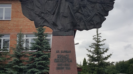
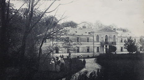
Attractions

Distance to the capital
Distance to the capital (Warsaw) is about — 13 km.