
 Stawiszyn
Zwierzyniec
Słomniki
Bielawa
Kąty Wrocławskie
Kamieniec
Podkowa Lesna
Niepołomice
Koszyce
Mikolajki
Zielonka
Józefów
Celestynów
Wiązowna
Zakroczym
Zabki
Pomiechówek
Nieporęt
Sadów
Stawiszyn
Zwierzyniec
Słomniki
Bielawa
Kąty Wrocławskie
Kamieniec
Podkowa Lesna
Niepołomice
Koszyce
Mikolajki
Zielonka
Józefów
Celestynów
Wiązowna
Zakroczym
Zabki
Pomiechówek
Nieporęt
Sadów
Rogozno on the map, Poland
Where is located Rogozno
Exact location — Rogozno, Oborniki County, Greater Poland Voivodeship, Poland, marked on the map with a red marker.
Coordinates
Rogozno, Poland coordinates in decimal format: latitude — 52.74965, longitude — 17.00343. When converted to degrees, minutes, seconds Rogozno has the following coordinates: 52°44′58.74 north latitude and 17°0′12.35 east longitude.
Population
Rogozno, Oborniki County, Greater Poland Voivodeship, Poland, according to our data the population is — 10,859 residents, which is about 0% of the total population of the country (Poland).
Comparison of the population on the graph:
Exact time
Time zone for this location Rogozno — UTC +2 Europe/Warsaw. Exact time — wednesday, 5 may 2024 year, 23 h. 33 minutes.
Sunrise and sunset
Rogozno, sunrise and sunset data for a date — wednesday 8.05.2024.
| Sunrise | Sunset | Day (duration) |
|---|---|---|
| 05:09 -2 minutes | 20:27 +2 minutes | 15 h. 18 minutes. +4 minutes |
You can control the scale of the map using the auxiliary tools to find out exactly where it is located Rogozno. When you change the scale of the map, the width of the ruler also changes (in kilometers and miles).
Nearby cities
The largest cities that are located nearby:
- Poznań — 38 km
- Bydgoszcz — 78 km
- Torun — 110 km
- Gorzów Wielkopolski — 118 km
- Kalisz — 131 km
- Zielona Gora — 136 km
- Wloclawek — 139 km
- Koszalin — 169 km
- Szczecin — 178 km
- Legnica — 180 km
- Wrocław — 182 km
- Plock — 183 km
- Łódź — 200 km
- Gdańsk — 206 km
- Cottbus
 (Germany) — 213 km
 - Gdynia — 219 km
- Elblag — 220 km
- Walbrzych — 223 km
- Opole — 238 km
Distance to neighboring capitals:
- Berlin (Germany) — 244 km
- Prague
 (Czech Republic) — 347 km
 - Copenhagen
 (Denmark) — 435 km
 - Vienna
 (Austria) — 507 km
 - Bratislava
 (Slovakia) — 512 km
 - Vilnius
 (Lithuania) — 585 km
 - Budapest
 (Hungary) — 602 km
 - Rīga
 (Latvia) — 651 km
 - Minsk
 (Belarus) — 712 km
 - Amsterdam
 (Netherlands) — 819 km
 - Belgrade
 (Serbia) — 921 km
 - Bern
 (Switzerland) — 940 km
 - Helsinki
 (Finland) — 958 km
 - Kyiv
 (Ukraine) — 967 km
 - Paris
 (France) — 1115 km
 - Bucharest
 (Romania) — 1141 km
 - Moscow
 (Russia) — 1375 km
 - Tbilisi
 (Georgia) — 2408 km
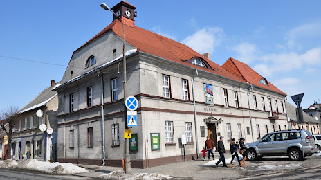
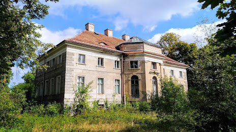
Attractions

Distance to the capital
Distance to the capital (Warsaw) is about — 278 km.