
 Walcz
Stawiszyn
Zwierzyniec
Słomniki
Bielawa
Kąty Wrocławskie
Kamieniec
Podkowa Lesna
Niepołomice
Zielonka
Józefów
Celestynów
Wiązowna
Zakroczym
Zabki
Pomiechówek
Nieporęt
Sadów
Bystrzyca Klodzka
Walcz
Stawiszyn
Zwierzyniec
Słomniki
Bielawa
Kąty Wrocławskie
Kamieniec
Podkowa Lesna
Niepołomice
Zielonka
Józefów
Celestynów
Wiązowna
Zakroczym
Zabki
Pomiechówek
Nieporęt
Sadów
Bystrzyca Klodzka
Zlotow on the map, Poland
Where is located Zlotow
Exact location — Zlotow, Złotów County, Greater Poland Voivodeship, Poland, marked on the map with a red marker.
Coordinates
Zlotow, Poland coordinates in decimal format: latitude — 53.36381, longitude — 17.04046. When converted to degrees, minutes, seconds Zlotow has the following coordinates: 53°21′49.72 north latitude and 17°2′25.66 east longitude.
Population
Zlotow, Złotów County, Greater Poland Voivodeship, Poland, according to our data the population is — 18,395 residents, which is about 0% of the total population of the country (Poland).
Comparison of the population on the graph:
Exact time
Time zone for this location Zlotow — UTC +2 Europe/Warsaw. Exact time — thursday, 5 may 2024 year, 03 h. 16 minutes.
Sunrise and sunset
Zlotow, sunrise and sunset data for a date — thursday 9.05.2024.
| Sunrise | Sunset | Day (duration) |
|---|---|---|
| 05:05 -2 minutes | 20:31 +2 minutes | 15 h. 24 minutes. +4 minutes |
You can control the scale of the map using the auxiliary tools to find out exactly where it is located Zlotow. When you change the scale of the map, the width of the ruler also changes (in kilometers and miles).
Nearby cities
The largest cities that are located nearby:
- Bydgoszcz — 70 km
- Poznań — 106 km
- Koszalin — 108 km
- Torun — 111 km
- Gorzów Wielkopolski — 139 km
- Gdańsk — 150 km
- Wloclawek — 157 km
- Gdynia — 160 km
- Szczecin — 164 km
- Elblag — 176 km
- Zielona Gora — 189 km
- Kalisz — 190 km
- Plock — 201 km
- Olsztyn — 229 km
- Łódź — 242 km
- Legnica — 246 km
- Wrocław — 249 km
- Cottbus
 (Germany) — 257 km
 - Berlin (Germany) — 262 km
Distance to neighboring capitals:
- Berlin (Germany) — 261 km
- Copenhagen
 (Denmark) — 387 km
 - Prague
 (Czech Republic) — 407 km
 - Vilnius
 (Lithuania) — 558 km
 - Vienna
 (Austria) — 575 km
 - Bratislava
 (Slovakia) — 580 km
 - Rīga
 (Latvia) — 600 km
 - Budapest
 (Hungary) — 668 km
 - Minsk
 (Belarus) — 696 km
 - Amsterdam
 (Netherlands) — 822 km
 - Helsinki
 (Finland) — 896 km
 - Kyiv
 (Ukraine) — 979 km
 - Belgrade
 (Serbia) — 986 km
 - Bern
 (Switzerland) — 987 km
 - Paris
 (France) — 1139 km
 - Bucharest
 (Romania) — 1193 km
 - Moscow
 (Russia) — 1348 km
 - Tbilisi
 (Georgia) — 2430 km
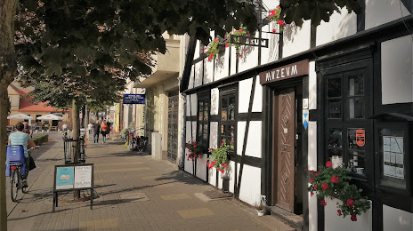
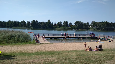
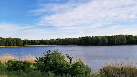
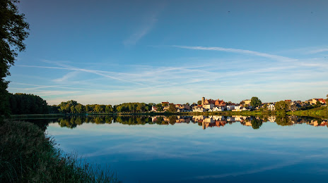
Attractions
Distance to the capital
Distance to the capital (Warsaw) is about — 295 km.