
 Malbork
Nowy Dwór
Olesnica
Szamotuly
Oborniki
Nowy Tomysl
Sroda Wielkopolska
Kórnik
Pobiedziska
Zdzieszowice
Sepolno Krajenskie
Wiecbork
Tuchola
Szubin
Osielsko
Lebork
Miastko
Darlowo
Sianow
Malbork
Nowy Dwór
Olesnica
Szamotuly
Oborniki
Nowy Tomysl
Sroda Wielkopolska
Kórnik
Pobiedziska
Zdzieszowice
Sepolno Krajenskie
Wiecbork
Tuchola
Szubin
Osielsko
Lebork
Miastko
Darlowo
Sianow
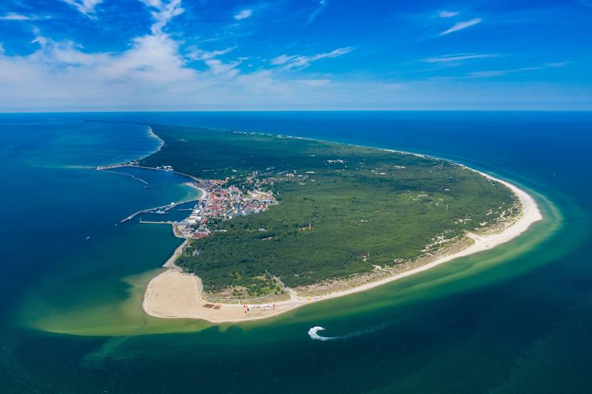
Wladyslawowo on the map, Poland
Where is located Wladyslawowo
Exact location — Wladyslawowo, Puck County, Pomeranian Voivodeship, Poland, marked on the map with a red marker.
Coordinates
Wladyslawowo, Poland coordinates in decimal format: latitude — 54.79074, longitude — 18.403. When converted to degrees, minutes, seconds Wladyslawowo has the following coordinates: 54°47′26.66 north latitude and 18°24′10.8 east longitude.
Population
Wladyslawowo, Puck County, Pomeranian Voivodeship, Poland, according to our data the population is — 14,889 residents, which is about 0% of the total population of the country (Poland).
Comparison of the population on the graph:
Exact time
Time zone for this location Wladyslawowo — UTC +2 Europe/Warsaw. Exact time — sunday, 5 may 2024 year, 15 h. 23 minutes.
Sunrise and sunset
Wladyslawowo, sunrise and sunset data for a date — sunday 12.05.2024.
| Sunrise | Sunset | Day (duration) |
|---|---|---|
| 04:48 -2 minutes | 20:36 +1 minute | 15 h. 48 minutes. +3 minutes |
You can control the scale of the map using the auxiliary tools to find out exactly where it is located Wladyslawowo. When you change the scale of the map, the width of the ruler also changes (in kilometers and miles).
Nearby cities
The largest cities that are located nearby:
- Gdynia — 31 km
- Gdańsk — 51 km
- Elblag — 96 km
- Kaliningrad
 (Russia) — 135 km
 - Koszalin — 159 km
- Olsztyn — 176 km
- Bydgoszcz — 186 km
- Torun — 197 km
- Klaipėda
 (Lithuania) — 198 km
 - Wloclawek — 241 km
- Plock — 263 km
- Poznań — 282 km
- Szczecin — 295 km
- Gorzów Wielkopolski — 311 km
- Šiauliai (Lithuania) — 329 km
- Kalisz — 335 km
- Łódź — 343 km
- Malmö
 (Sweden) — 349 km
 - Kaunas (Lithuania) — 350 km
Distance to neighboring capitals:
- Copenhagen
 (Denmark) — 383 km
 - Berlin
 (Germany) — 415 km
 - Rīga
 (Latvia) — 429 km
 - Vilnius (Lithuania) — 442 km
- Prague
 (Czech Republic) — 589 km
 - Minsk
 (Belarus) — 601 km
 - Helsinki
 (Finland) — 714 km
 - Bratislava
 (Slovakia) — 744 km
 - Vienna
 (Austria) — 745 km
 - Budapest
 (Hungary) — 812 km
 - Amsterdam
 (Netherlands) — 930 km
 - Kyiv
 (Ukraine) — 948 km
 - Belgrade
 (Serbia) — 1122 km
 - Bern
 (Switzerland) — 1160 km
 - Moscow (Russia) — 1218 km
- Bucharest
 (Romania) — 1278 km
 - Paris
 (France) — 1281 km
 - Tbilisi
 (Georgia) — 2411 km
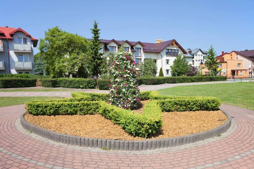
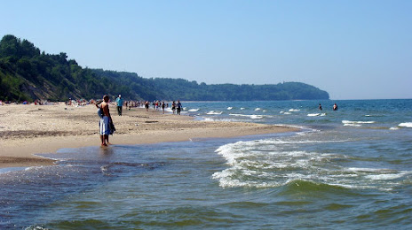
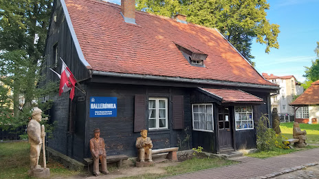
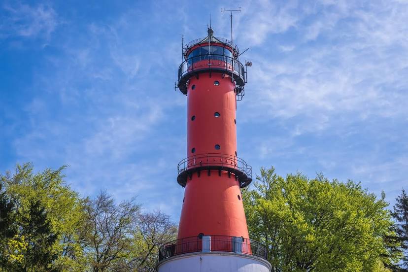
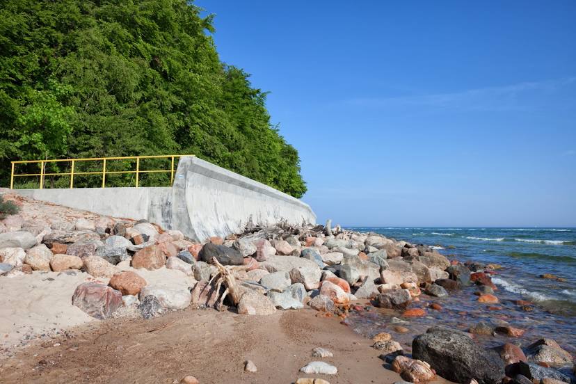
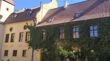
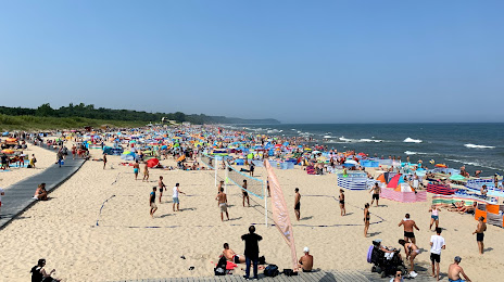
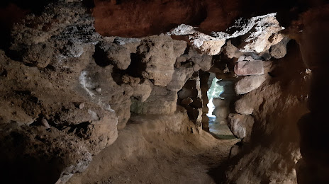
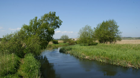
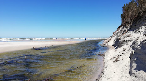
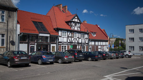
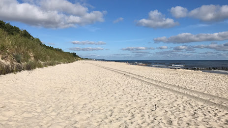
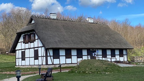
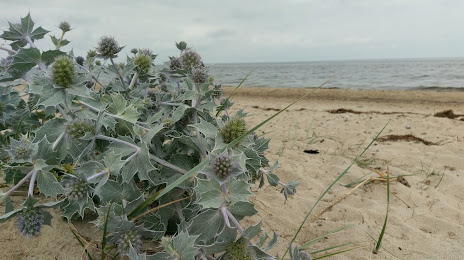
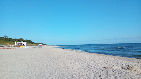
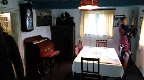
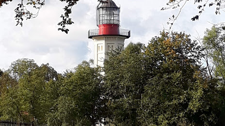
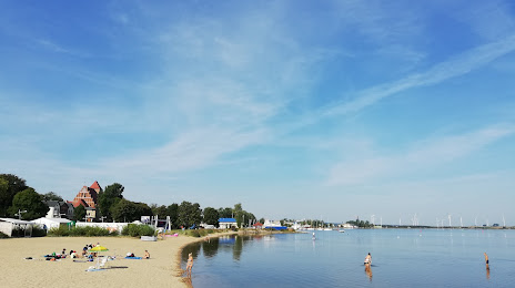
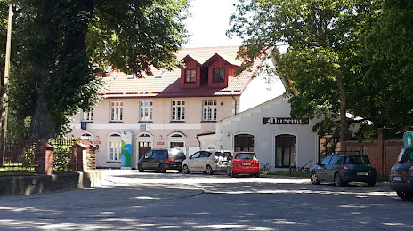
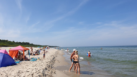
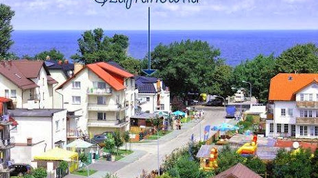
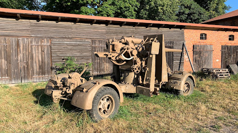
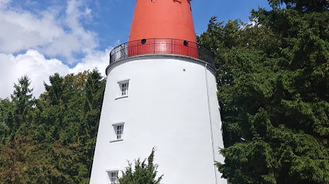
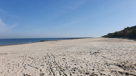
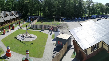
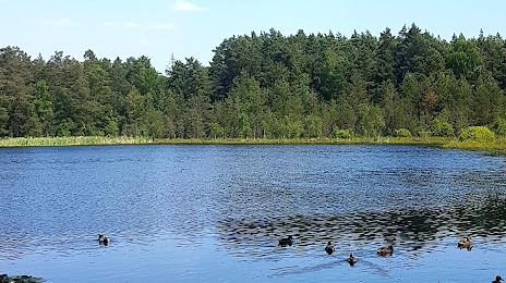
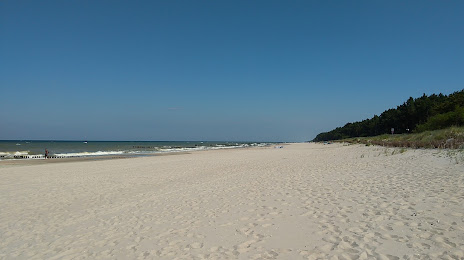
Attractions


Distance to the capital
Distance to the capital (Warsaw) is about — 333 km.