
 Krynica Morska
Skwierzyna
Cedynia
Świątniki Górne
Trzemeszno
Wladyslawowo
Jaworzno
Lipno
Karczew
Nidzica
Morąg
Lidzbark Warmiński
Ostroda
Bartoszyce
Debica
Szczucin
Krasnik
Tarnowskie Gory
Solec Kujawski
Krynica Morska
Skwierzyna
Cedynia
Świątniki Górne
Trzemeszno
Wladyslawowo
Jaworzno
Lipno
Karczew
Nidzica
Morąg
Lidzbark Warmiński
Ostroda
Bartoszyce
Debica
Szczucin
Krasnik
Tarnowskie Gory
Solec Kujawski
Lebork on the map, Poland
Where is located Lebork
Exact location — Lebork, Lębork County, Pomeranian Voivodeship, Poland, marked on the map with a red marker.
Coordinates
Lebork, Poland coordinates in decimal format: latitude — 54.544642, longitude — 17.7532511. When converted to degrees, minutes, seconds Lebork has the following coordinates: 54°32′40.71 north latitude and 17°45′11.7 east longitude.
Population
Lebork, Lębork County, Pomeranian Voivodeship, Poland, according to our data the population is — 35,161 residents, which is about 0.1% of the total population of the country (Poland).
Comparison of the population on the graph:
Exact time
Time zone for this location Lebork — UTC +2 Europe/Warsaw. Exact time — monday, 5 may 2024 year, 15 h. 43 minutes.
Sunrise and sunset
Lebork, sunrise and sunset data for a date — monday 13.05.2024.
| Sunrise | Sunset | Day (duration) |
|---|---|---|
| 04:50 -2 minutes | 20:40 +2 minutes | 15 h. 48 minutes. +4 minutes |
You can control the scale of the map using the auxiliary tools to find out exactly where it is located Lebork. When you change the scale of the map, the width of the ruler also changes (in kilometers and miles).
Nearby cities
The largest cities that are located nearby:
- Gdynia — 50 km
- Gdańsk — 61 km
- Koszalin — 109 km
- Elblag — 115 km
- Bydgoszcz — 158 km
- Kaliningrad
 (Russia) — 178 km
 - Torun — 178 km
- Olsztyn — 197 km
- Wloclawek — 227 km
- Poznań — 243 km
- Szczecin — 244 km
- Klaipėda
 (Lithuania) — 247 km
 - Plock — 257 km
- Gorzów Wielkopolski — 262 km
- Kalisz — 308 km
- Malmö
 (Sweden) — 319 km
 - Zielona Gora — 327 km
- Łódź — 329 km
- Copenhagen
 (Denmark) — 347 km
Distance to neighboring capitals:
- Copenhagen (Denmark) — 353 km
- Berlin
 (Germany) — 365 km
 - Rīga
 (Latvia) — 479 km
 - Vilnius (Lithuania) — 485 km
- Prague
 (Czech Republic) — 546 km
 - Minsk
 (Belarus) — 641 km
 - Vienna
 (Austria) — 711 km
 - Bratislava
 (Slovakia) — 713 km
 - Helsinki
 (Finland) — 759 km
 - Budapest
 (Hungary) — 789 km
 - Amsterdam
 (Netherlands) — 884 km
 - Kyiv
 (Ukraine) — 975 km
 - Belgrade
 (Serbia) — 1102 km
 - Bern
 (Switzerland) — 1111 km
 - Paris
 (France) — 1232 km
 - Moscow (Russia) — 1265 km
- Bucharest
 (Romania) — 1275 km
 - Tbilisi
 (Georgia) — 2437 km
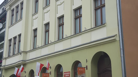
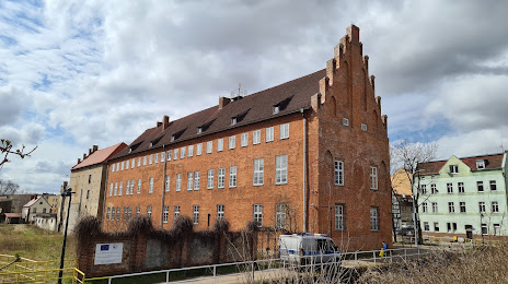
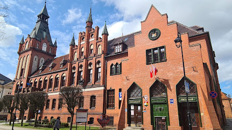
Attractions

Distance to the capital
Distance to the capital (Warsaw) is about — 336 km.