
 Lebork
Osielsko
Szubin
Tuchola
Wiecbork
Sepolno Krajenskie
Zdzieszowice
Piekary Slaskie
Glinojeck
Jabłonna
Limanowa
Zgorzelec
Zagan
Smigiel
Wolsztyn
Trzciano
Łapanów
Czchów
Lipnica
Lebork
Osielsko
Szubin
Tuchola
Wiecbork
Sepolno Krajenskie
Zdzieszowice
Piekary Slaskie
Glinojeck
Jabłonna
Limanowa
Zgorzelec
Zagan
Smigiel
Wolsztyn
Trzciano
Łapanów
Czchów
Lipnica
Morąg on the map, Poland
Where is located Morąg
Exact location — Morąg, Ostróda County, Warmian-Masurian Voivodeship, Poland, marked on the map with a red marker.
Coordinates
Morąg, Poland coordinates in decimal format: latitude — 53.9160398, longitude — 19.9279338. When converted to degrees, minutes, seconds Morąg has the following coordinates: 53°54′57.74 north latitude and 19°55′40.56 east longitude.
Population
Morąg, Ostróda County, Warmian-Masurian Voivodeship, Poland, according to our data the population is — 14,745 residents, which is about 0% of the total population of the country (Poland).
Comparison of the population on the graph:
Exact time
Time zone for this location Morąg — UTC +2 Europe/Warsaw. Exact time — wednesday, 5 may 2024 year, 12 h. 09 minutes.
Sunrise and sunset
Morąg, sunrise and sunset data for a date — wednesday 15.05.2024.
| Sunrise | Sunset | Day (duration) |
|---|---|---|
| 04:41 -2 minutes | 20:31 +1 minute | 15 h. 48 minutes. +3 minutes |
You can control the scale of the map using the auxiliary tools to find out exactly where it is located Morąg. When you change the scale of the map, the width of the ruler also changes (in kilometers and miles).
Nearby cities
The largest cities that are located nearby:
- Olsztyn — 39 km
- Elblag — 43 km
- Gdańsk — 96 km
- Kaliningrad
 (Russia) — 96 km
 - Gdynia — 112 km
- Torun — 133 km
- Wloclawek — 152 km
- Plock — 152 km
- Bydgoszcz — 155 km
- Klaipėda
 (Lithuania) — 212 km
 - Bialystok — 232 km
- Łódź — 241 km
- Koszalin — 245 km
- Poznań — 262 km
- Kalisz — 269 km
- Kaunas (Lithuania) — 275 km
- Radom — 290 km
- Šiauliai (Lithuania) — 306 km
- Brest
 (Belarus) — 327 km
Distance to neighboring capitals:
- Vilnius (Lithuania) — 358 km
- Rīga
 (Latvia) — 428 km
 - Berlin
 (Germany) — 461 km
 - Minsk (Belarus) — 500 km
- Copenhagen
 (Denmark) — 511 km
 - Prague
 (Czech Republic) — 569 km
 - Bratislava
 (Slovakia) — 671 km
 - Vienna
 (Austria) — 682 km
 - Budapest
 (Hungary) — 717 km
 - Helsinki
 (Finland) — 759 km
 - Kyiv
 (Ukraine) — 818 km
 - Amsterdam
 (Netherlands) — 1016 km
 - Belgrade
 (Serbia) — 1016 km
 - Bucharest
 (Romania) — 1146 km
 - Moscow (Russia) — 1148 km
- Bern
 (Switzerland) — 1173 km
 - Paris
 (France) — 1339 km
 - Tbilisi
 (Georgia) — 2280 km
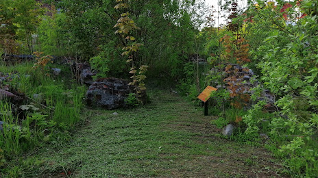
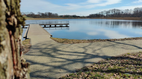
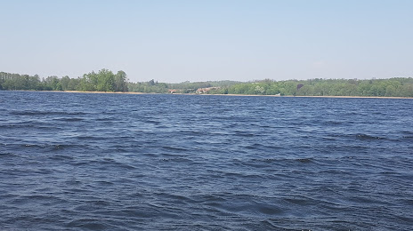
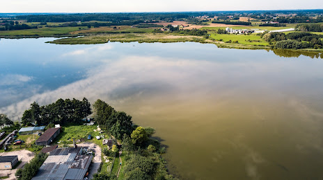
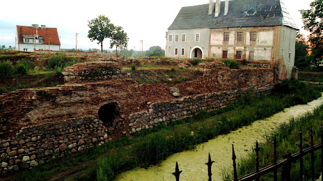
Attractions

Distance to the capital
Distance to the capital (Warsaw) is about — 201 km.