
 Darlowo
Miastko
Lebork
Osielsko
Szubin
Tuchola
Wiecbork
Sepolno Krajenskie
Zdzieszowice
Zgorzelec
Zagan
Smigiel
Wolsztyn
Trzciano
Łapanów
Czchów
Lipnica
Płęsno
Ryglice
Darlowo
Miastko
Lebork
Osielsko
Szubin
Tuchola
Wiecbork
Sepolno Krajenskie
Zdzieszowice
Zgorzelec
Zagan
Smigiel
Wolsztyn
Trzciano
Łapanów
Czchów
Lipnica
Płęsno
Ryglice
Ostroda on the map, Poland
Where is located Ostroda
Exact location — Ostroda, Ostróda County, Warmian-Masurian Voivodeship, Poland, marked on the map with a red marker.
Coordinates
Ostroda, Poland coordinates in decimal format: latitude — 53.6963007, longitude — 19.9647952. When converted to degrees, minutes, seconds Ostroda has the following coordinates: 53°41′46.68 north latitude and 19°57′53.26 east longitude.
Population
Ostroda, Ostróda County, Warmian-Masurian Voivodeship, Poland, according to our data the population is — 33,524 residents, which is about 0.1% of the total population of the country (Poland).
Comparison of the population on the graph:
Exact time
Time zone for this location Ostroda — UTC +2 Europe/Warsaw. Exact time — wednesday, 5 may 2024 year, 11 h. 01 minute.
Sunrise and sunset
Ostroda, sunrise and sunset data for a date — wednesday 1.05.2024.
| Sunrise | Sunset | Day (duration) |
|---|---|---|
| 05:07 -2 minutes | 20:06 +2 minutes | 15 h. 0 minutes. +4 minutes |
You can control the scale of the map using the auxiliary tools to find out exactly where it is located Ostroda. When you change the scale of the map, the width of the ruler also changes (in kilometers and miles).
Nearby cities
The largest cities that are located nearby:
- Olsztyn — 35 km
- Elblag — 62 km
- Gdańsk — 112 km
- Torun — 118 km
- Kaliningrad
 (Russia) — 118 km
 - Plock — 128 km
- Gdynia — 129 km
- Wloclawek — 131 km
- Bydgoszcz — 144 km
- Łódź — 217 km
- Bialystok — 222 km
- Klaipėda
 (Lithuania) — 234 km
 - Kalisz — 249 km
- Poznań — 250 km
- Koszalin — 251 km
- Radom — 266 km
- Kaunas (Lithuania) — 284 km
- Brest
 (Belarus) — 311 km
 - Kielce — 316 km
Distance to neighboring capitals:
- Vilnius (Lithuania) — 363 km
- Rīga
 (Latvia) — 447 km
 - Berlin
 (Germany) — 457 km
 - Minsk (Belarus) — 499 km
- Copenhagen
 (Denmark) — 524 km
 - Prague
 (Czech Republic) — 553 km
 - Bratislava
 (Slovakia) — 649 km
 - Vienna
 (Austria) — 660 km
 - Budapest
 (Hungary) — 692 km
 - Helsinki
 (Finland) — 781 km
 - Kyiv
 (Ukraine) — 806 km
 - Belgrade
 (Serbia) — 992 km
 - Amsterdam
 (Netherlands) — 1017 km
 - Bucharest
 (Romania) — 1123 km
 - Moscow (Russia) — 1153 km
- Bern
 (Switzerland) — 1161 km
 - Paris
 (France) — 1334 km
 - Tbilisi
 (Georgia) — 2267 km
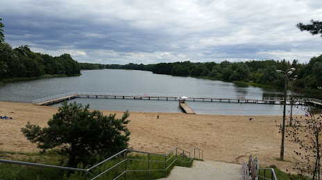
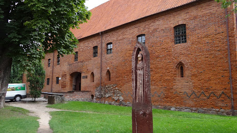
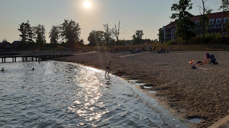
Attractions


Distance to the capital
Distance to the capital (Warsaw) is about — 178 km.