
 Józefów nad Wisłą
Gorzyce Wielkie
Rogówek
Sromowce Niżne
Wyszków County
Kruszewo
Jantar
Sady Górne
Nagoszewo
Józefów nad Wisłą
Gorzyce Wielkie
Rogówek
Sromowce Niżne
Wyszków County
Kruszewo
Jantar
Sady Górne
Nagoszewo
Bielawskie Bloto on the map, Wladyslawowo, Poland
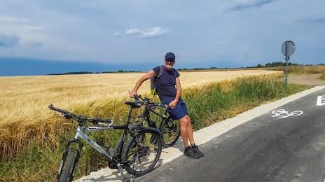
Photo
Where is located Bielawskie Bloto
Bielawskie Bloto — local attraction, which is located at no data and belongs to the category — -. Average visitor rating for this place — 3.5 (according to 2 ratings, information from open sources and relevant for 2022).
Exact location — Bielawskie Bloto, marked on the map with a red marker.
You can get directions to Bielawskie Bloto on the map from your location.
What else is interesting in Wladyslawowo? You can see all the sights if you go to the city page.
Coordinates
Bielawskie Bloto, Poland coordinates in decimal format: latitude — 54.79977559904327, longitude — 18.249484916978528. When converted to degrees, minutes, seconds Bielawskie Bloto has the following coordinates: 54°47′59.19 north latitude and 18°14′58.15 east longitude.
Nearby cities
The largest cities that are located nearby:
- Gdynia — 31 km
- Gdańsk — 51 km
- Elblag — 96 km
- Kaliningrad
 (Russia) — 135 km
 - Koszalin — 159 km
- Olsztyn — 176 km
- Bydgoszcz — 186 km
- Torun — 197 km
- Klaipėda
 (Lithuania) — 198 km
 - Wloclawek — 241 km
- Plock — 263 km
- Poznań — 282 km
- Szczecin — 295 km
- Gorzów Wielkopolski — 311 km
- Šiauliai (Lithuania) — 329 km
- Kalisz — 335 km
- Łódź — 343 km
- Malmö
 (Sweden) — 349 km
 - Kaunas (Lithuania) — 350 km
Distance to the capital
Distance to the capital (Warsaw) is about — 339 km.