
 Mragowo
Wlodawa
Ożarów Mazowiecki
Lubawa
Zambrow
Zgierz
Sianow
Darlowo
Miastko
Lipnica
Płęsno
Ryglice
Rzepiennik Strzyżewski
Ciężkowice
Wojnicz
Szczurowa
Gąbin
Rawa Mazowiecka
Dzialdowo
Mragowo
Wlodawa
Ożarów Mazowiecki
Lubawa
Zambrow
Zgierz
Sianow
Darlowo
Miastko
Lipnica
Płęsno
Ryglice
Rzepiennik Strzyżewski
Ciężkowice
Wojnicz
Szczurowa
Gąbin
Rawa Mazowiecka
Dzialdowo
Chojnice on the map, Poland
Where is located Chojnice
Exact location — Chojnice, Chojnice County, Pomeranian Voivodeship, Poland, marked on the map with a red marker.
Coordinates
Chojnice, Poland coordinates in decimal format: latitude — 53.6944002, longitude — 17.5569252. When converted to degrees, minutes, seconds Chojnice has the following coordinates: 53°41′39.84 north latitude and 17°33′24.93 east longitude.
Population
Chojnice, Chojnice County, Pomeranian Voivodeship, Poland, according to our data the population is — 39,407 residents, which is about 0.1% of the total population of the country (Poland).
Comparison of the population on the graph:
Exact time
Time zone for this location Chojnice — UTC +2 Europe/Warsaw. Exact time — wednesday, 5 may 2024 year, 15 h. 59 minutes.
Sunrise and sunset
Chojnice, sunrise and sunset data for a date — wednesday 8.05.2024.
| Sunrise | Sunset | Day (duration) |
|---|---|---|
| 05:03 -2 minutes | 20:28 +2 minutes | 15 h. 24 minutes. +4 minutes |
You can control the scale of the map using the auxiliary tools to find out exactly where it is located Chojnice. When you change the scale of the map, the width of the ruler also changes (in kilometers and miles).
Nearby cities
The largest cities that are located nearby:
- Bydgoszcz — 70 km
- Gdańsk — 101 km
- Torun — 102 km
- Koszalin — 105 km
- Gdynia — 111 km
- Elblag — 130 km
- Poznań — 149 km
- Wloclawek — 154 km
- Gorzów Wielkopolski — 188 km
- Olsztyn — 191 km
- Plock — 192 km
- Szczecin — 200 km
- Kalisz — 216 km
- Kaliningrad
 (Russia) — 220 km
 - Zielona Gora — 239 km
- Łódź — 250 km
- Wrocław — 288 km
- Legnica — 292 km
- Cottbus
 (Germany) — 308 km
Distance to neighboring capitals:
- Berlin (Germany) — 306 km
- Copenhagen
 (Denmark) — 389 km
 - Prague
 (Czech Republic) — 456 km
 - Vilnius
 (Lithuania) — 514 km
 - Rīga
 (Latvia) — 550 km
 - Vienna
 (Austria) — 616 km
 - Bratislava
 (Slovakia) — 618 km
 - Minsk
 (Belarus) — 657 km
 - Budapest
 (Hungary) — 697 km
 - Helsinki
 (Finland) — 847 km
 - Amsterdam
 (Netherlands) — 858 km
 - Kyiv
 (Ukraine) — 955 km
 - Belgrade
 (Serbia) — 1013 km
 - Bern
 (Switzerland) — 1037 km
 - Paris
 (France) — 1184 km
 - Bucharest
 (Romania) — 1202 km
 - Moscow (Russia) — 1304 km
- Tbilisi
 (Georgia) — 2411 km
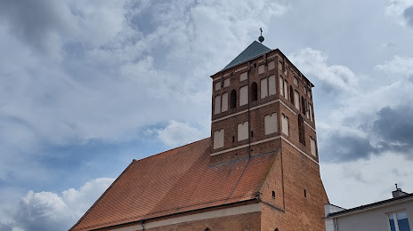
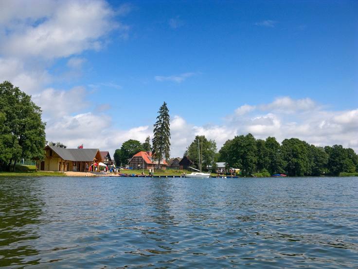
Attractions


Distance to the capital
Distance to the capital (Warsaw) is about — 283 km.