
 Dzialdowo
Rawa Mazowiecka
Gąbin
Szczurowa
Wojnicz
Ciężkowice
Rzepiennik Strzyżewski
Ryglice
Płęsno
Szreńsk
Załuski
Rybno
Płośnica
Kluczbork
Pokrzywnica
Wyszkow
Srem
Pulawy
Bieruń
Dzialdowo
Rawa Mazowiecka
Gąbin
Szczurowa
Wojnicz
Ciężkowice
Rzepiennik Strzyżewski
Ryglice
Płęsno
Szreńsk
Załuski
Rybno
Płośnica
Kluczbork
Pokrzywnica
Wyszkow
Srem
Pulawy
Bieruń
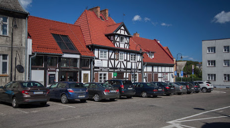
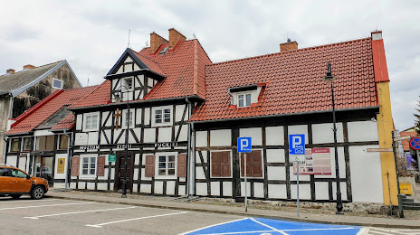
Puck on the map, Poland
Where is located Puck
Exact location — Puck, Puck County, Pomeranian Voivodeship, Poland, marked on the map with a red marker.
Coordinates
Puck, Poland coordinates in decimal format: latitude — 54.7180477, longitude — 18.4086339. When converted to degrees, minutes, seconds Puck has the following coordinates: 54°43′4.97 north latitude and 18°24′31.08 east longitude.
Population
Puck, Puck County, Pomeranian Voivodeship, Poland, according to our data the population is — 11,415 residents, which is about 0% of the total population of the country (Poland).
Comparison of the population on the graph:
Exact time
Time zone for this location Puck — UTC +2 Europe/Warsaw. Exact time — monday, 5 may 2024 year, 02 h. 57 minutes.
Sunrise and sunset
Puck, sunrise and sunset data for a date — monday 13.05.2024.
| Sunrise | Sunset | Day (duration) |
|---|---|---|
| 04:47 -1 minute | 20:38 +2 minutes | 15 h. 54 minutes. +3 minutes |
You can control the scale of the map using the auxiliary tools to find out exactly where it is located Puck. When you change the scale of the map, the width of the ruler also changes (in kilometers and miles).
Nearby cities
The largest cities that are located nearby:
- Gdynia — 23 km
- Gdańsk — 43 km
- Elblag — 90 km
- Kaliningrad
 (Russia) — 135 km
 - Koszalin — 156 km
- Olsztyn — 171 km
- Bydgoszcz — 178 km
- Torun — 189 km
- Klaipėda
 (Lithuania) — 202 km
 - Wloclawek — 233 km
- Plock — 255 km
- Poznań — 274 km
- Szczecin — 291 km
- Gorzów Wielkopolski — 305 km
- Kalisz — 327 km
- Šiauliai (Lithuania) — 332 km
- Łódź — 335 km
- Kaunas (Lithuania) — 350 km
- Malmö
 (Sweden) — 352 km
Distance to neighboring capitals:
- Copenhagen
 (Denmark) — 386 km
 - Berlin
 (Germany) — 411 km
 - Rīga
 (Latvia) — 434 km
 - Vilnius (Lithuania) — 441 km
- Prague
 (Czech Republic) — 582 km
 - Minsk
 (Belarus) — 600 km
 - Helsinki
 (Finland) — 721 km
 - Bratislava
 (Slovakia) — 737 km
 - Vienna
 (Austria) — 738 km
 - Budapest
 (Hungary) — 804 km
 - Amsterdam
 (Netherlands) — 929 km
 - Kyiv
 (Ukraine) — 945 km
 - Belgrade
 (Serbia) — 1114 km
 - Bern
 (Switzerland) — 1155 km
 - Moscow (Russia) — 1220 km
- Bucharest
 (Romania) — 1270 km
 - Paris
 (France) — 1278 km
 - Tbilisi
 (Georgia) — 2408 km
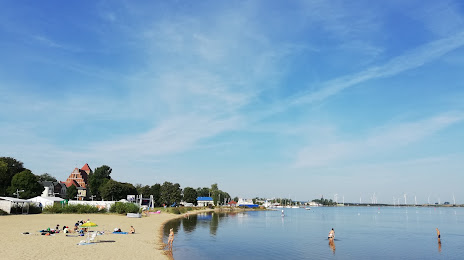
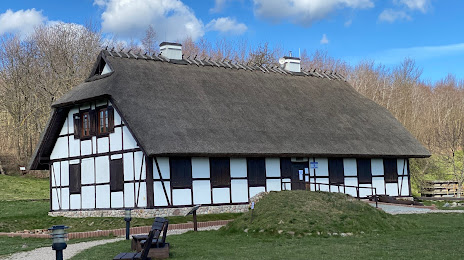
Attractions

Distance to the capital
Distance to the capital (Warsaw) is about — 326 km.