
 Tomaszow Mazowiecki
Trzebnica
Milicz
Wejherowo
Przodkowo
Nowa Karczma
Puck
Swiebodzin
Trzebinia
Trzcianka
Łazy
Lubliniec
Koscierzyna
Otwock
Jedrzejow
Trzebiatów
Koscian
Wielun
Łask
Tomaszow Mazowiecki
Trzebnica
Milicz
Wejherowo
Przodkowo
Nowa Karczma
Puck
Swiebodzin
Trzebinia
Trzcianka
Łazy
Lubliniec
Koscierzyna
Otwock
Jedrzejow
Trzebiatów
Koscian
Wielun
Łask
Srem on the map, Poland
Where is located Srem
Exact location — Srem, Śrem County, Greater Poland Voivodeship, Poland, marked on the map with a red marker.
Coordinates
Srem, Poland coordinates in decimal format: latitude — 52.0887, longitude — 17.01506. When converted to degrees, minutes, seconds Srem has the following coordinates: 52°5′19.32 north latitude and 17°0′54.22 east longitude.
Population
Srem, Śrem County, Greater Poland Voivodeship, Poland, according to our data the population is — 30,404 residents, which is about 0.1% of the total population of the country (Poland).
Comparison of the population on the graph:
Exact time
Time zone for this location Srem — UTC +2 Europe/Warsaw. Exact time — tuesday, 5 may 2024 year, 03 h. 23 minutes.
Sunrise and sunset
Srem, sunrise and sunset data for a date — tuesday 21.05.2024.
| Sunrise | Sunset | Day (duration) |
|---|---|---|
| 04:52 -2 minutes | 20:44 +2 minutes | 15 h. 54 minutes. +4 minutes |
You can control the scale of the map using the auxiliary tools to find out exactly where it is located Srem. When you change the scale of the map, the width of the ruler also changes (in kilometers and miles).
Nearby cities
The largest cities that are located nearby:
- Poznań — 36 km
- Kalisz — 81 km
- Zielona Gora — 104 km
- Wrocław — 108 km
- Legnica — 114 km
- Bydgoszcz — 132 km
- Gorzów Wielkopolski — 139 km
- Torun — 147 km
- Wloclawek — 151 km
- Walbrzych — 153 km
- Opole — 169 km
- Łódź — 171 km
- Cottbus
 (Germany) — 187 km
 - Plock — 188 km
- Częstochowa — 204 km
- Szczecin — 220 km
- Gliwice — 230 km
- Zabrze — 232 km
- Bytom — 235 km
Distance to neighboring capitals:
- Berlin (Germany) — 250 km
- Prague
 (Czech Republic) — 287 km
 - Vienna
 (Austria) — 434 km
 - Bratislava
 (Slovakia) — 439 km
 - Copenhagen
 (Denmark) — 494 km
 - Budapest
 (Hungary) — 531 km
 - Vilnius
 (Lithuania) — 619 km
 - Rīga
 (Latvia) — 708 km
 - Minsk
 (Belarus) — 734 km
 - Amsterdam
 (Netherlands) — 825 km
 - Belgrade
 (Serbia) — 851 km
 - Bern
 (Switzerland) — 896 km
 - Kyiv
 (Ukraine) — 956 km
 - Helsinki
 (Finland) — 1023 km
 - Bucharest
 (Romania) — 1084 km
 - Paris
 (France) — 1096 km
 - Moscow
 (Russia) — 1404 km
 - Tbilisi
 (Georgia) — 2384 km
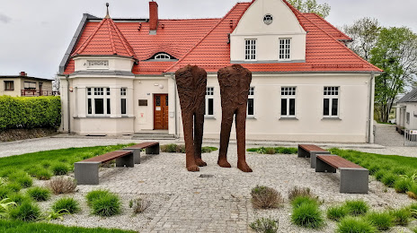
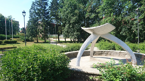
Attractions


Distance to the capital
Distance to the capital (Warsaw) is about — 273 km.