
 Braniewo
Pultusk
Mlawa
Dzialdowo
Rawa Mazowiecka
Gąbin
Szczurowa
Wojnicz
Ciężkowice
Płośnica
Kluczbork
Pokrzywnica
Wyszkow
Srem
Pulawy
Bieruń
Winnica
Strzegowo
Słońsk
Braniewo
Pultusk
Mlawa
Dzialdowo
Rawa Mazowiecka
Gąbin
Szczurowa
Wojnicz
Ciężkowice
Płośnica
Kluczbork
Pokrzywnica
Wyszkow
Srem
Pulawy
Bieruń
Winnica
Strzegowo
Słońsk
Wejherowo on the map, Poland
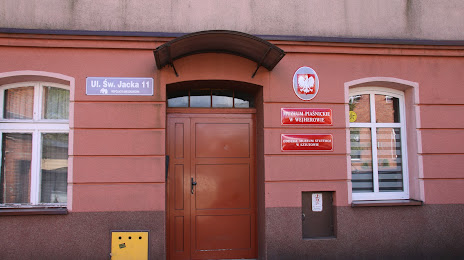
Where is located Wejherowo
Exact location — Wejherowo, Wejherowo County, Pomeranian Voivodeship, Poland, marked on the map with a red marker.
Coordinates
Wejherowo, Poland coordinates in decimal format: latitude — 54.6003216, longitude — 18.2330487. When converted to degrees, minutes, seconds Wejherowo has the following coordinates: 54°36′1.16 north latitude and 18°13′58.98 east longitude.
Population
Wejherowo, Wejherowo County, Pomeranian Voivodeship, Poland, according to our data the population is — 44,083 residents, which is about 0.1% of the total population of the country (Poland).
Comparison of the population on the graph:
Exact time
Time zone for this location Wejherowo — UTC +2 Europe/Warsaw. Exact time — saturday, 5 may 2024 year, 14 h. 58 minutes.
Sunrise and sunset
Wejherowo, sunrise and sunset data for a date — saturday 11.05.2024.
| Sunrise | Sunset | Day (duration) |
|---|---|---|
| 04:51 -2 minutes | 20:34 +1 minute | 15 h. 42 minutes. +3 minutes |
You can control the scale of the map using the auxiliary tools to find out exactly where it is located Wejherowo. When you change the scale of the map, the width of the ruler also changes (in kilometers and miles).
Nearby cities
The largest cities that are located nearby:
- Gdynia — 21 km
- Gdańsk — 38 km
- Elblag — 90 km
- Koszalin — 141 km
- Kaliningrad
 (Russia) — 146 km
 - Bydgoszcz — 164 km
- Olsztyn — 173 km
- Torun — 177 km
- Klaipėda
 (Lithuania) — 219 km
 - Wloclawek — 223 km
- Plock — 248 km
- Poznań — 258 km
- Szczecin — 275 km
- Gorzów Wielkopolski — 288 km
- Kalisz — 313 km
- Łódź — 325 km
- Malmö
 (Sweden) — 345 km
 - Šiauliai (Lithuania) — 348 km
- Zielona Gora — 348 km
Distance to neighboring capitals:
- Copenhagen
 (Denmark) — 379 km
 - Berlin
 (Germany) — 394 km
 - Rīga
 (Latvia) — 451 km
 - Vilnius (Lithuania) — 453 km
- Prague
 (Czech Republic) — 565 km
 - Minsk
 (Belarus) — 611 km
 - Bratislava
 (Slovakia) — 722 km
 - Vienna
 (Austria) — 723 km
 - Helsinki
 (Finland) — 738 km
 - Budapest
 (Hungary) — 792 km
 - Amsterdam
 (Netherlands) — 915 km
 - Kyiv
 (Ukraine) — 949 km
 - Belgrade
 (Serbia) — 1103 km
 - Bern
 (Switzerland) — 1138 km
 - Moscow (Russia) — 1234 km
- Paris
 (France) — 1263 km
 - Bucharest
 (Romania) — 1264 km
 - Tbilisi
 (Georgia) — 2412 km
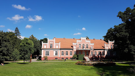
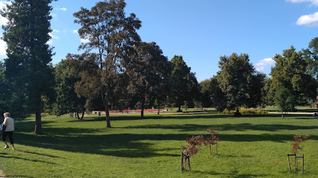
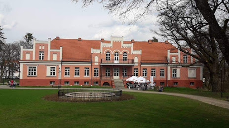
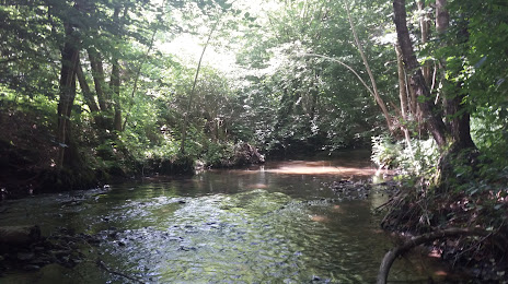
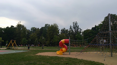
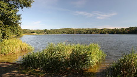
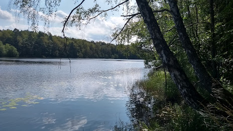
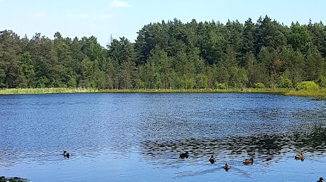
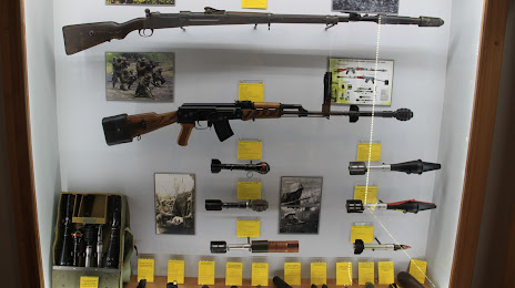
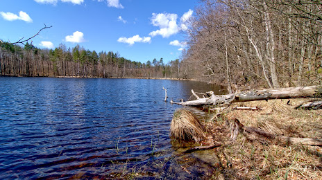
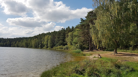
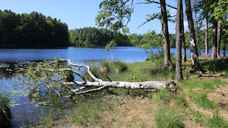
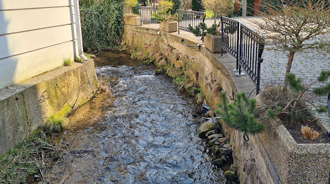
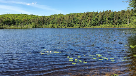
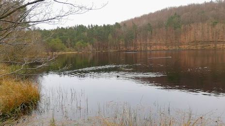
Attractions


Distance to the capital
Distance to the capital (Warsaw) is about — 322 km.