
 Józefów nad Wisłą
Gorzyce Wielkie
Rogówek
Sromowce Niżne
Wyszków County
Kruszewo
Jantar
Sady Górne
Nagoszewo
Józefów nad Wisłą
Gorzyce Wielkie
Rogówek
Sromowce Niżne
Wyszków County
Kruszewo
Jantar
Sady Górne
Nagoszewo
Nadleśnictwo Wejherowo on the map, Wejherowo, Poland
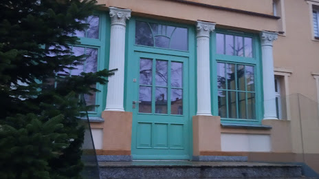
Photo
Where is located Nadleśnictwo Wejherowo
Nadleśnictwo Wejherowo — local attraction, which is located at Jana III Sobieskiego 247, 84-200 Wejherowo, Poland and belongs to the category — forestry service. Average visitor rating for this place — 3.9 (according to 15 ratings, information from open sources and relevant for 2022).
Exact location — Nadleśnictwo Wejherowo, marked on the map with a red marker.
You can get directions to Nadleśnictwo Wejherowo on the map from your location.
What else is interesting in Wejherowo? You can see all the sights if you go to the city page.
Coordinates
Nadleśnictwo Wejherowo, Poland coordinates in decimal format: latitude — 54.60179451394681, longitude — 18.22947802543564. When converted to degrees, minutes, seconds Nadleśnictwo Wejherowo has the following coordinates: 54°36′6.46 north latitude and 18°13′46.12 east longitude.
Nearby cities
The largest cities that are located nearby:
- Gdynia — 21 km
- Gdańsk — 38 km
- Elblag — 90 km
- Koszalin — 141 km
- Kaliningrad
 (Russia) — 146 km
 - Bydgoszcz — 164 km
- Olsztyn — 173 km
- Torun — 177 km
- Klaipėda
 (Lithuania) — 219 km
 - Wloclawek — 223 km
- Plock — 248 km
- Poznań — 258 km
- Szczecin — 275 km
- Gorzów Wielkopolski — 288 km
- Kalisz — 313 km
- Łódź — 325 km
- Malmö
 (Sweden) — 345 km
 - Šiauliai (Lithuania) — 348 km
- Zielona Gora — 348 km
Distance to the capital
Distance to the capital (Warsaw) is about — 322 km.