
 Bieruń
Pulawy
Srem
Wyszkow
Pokrzywnica
Kluczbork
Płośnica
Rybno
Załuski
Nowa Dęba
Wegrow
Garwolin
Minsk Mazowiecki
Brodnica
Nowy Dwór Mazowiecki
Slubice
Chrzanow
Janikowo
Cisna
Bieruń
Pulawy
Srem
Wyszkow
Pokrzywnica
Kluczbork
Płośnica
Rybno
Załuski
Nowa Dęba
Wegrow
Garwolin
Minsk Mazowiecki
Brodnica
Nowy Dwór Mazowiecki
Slubice
Chrzanow
Janikowo
Cisna
Koscierzyna on the map, Poland
Where is located Koscierzyna
Exact location — Koscierzyna, Kościerzyna County, Pomeranian Voivodeship, Poland, marked on the map with a red marker.
Coordinates
Koscierzyna, Poland coordinates in decimal format: latitude — 54.1222457, longitude — 17.9812605. When converted to degrees, minutes, seconds Koscierzyna has the following coordinates: 54°7′20.08 north latitude and 17°58′52.54 east longitude.
Population
Koscierzyna, Kościerzyna County, Pomeranian Voivodeship, Poland, according to our data the population is — 23,361 residents, which is about 0.1% of the total population of the country (Poland).
Comparison of the population on the graph:
Exact time
Time zone for this location Koscierzyna — UTC +2 Europe/Warsaw. Exact time — tuesday, 5 may 2024 year, 16 h. 24 minutes.
Sunrise and sunset
Koscierzyna, sunrise and sunset data for a date — tuesday 14.05.2024.
| Sunrise | Sunset | Day (duration) |
|---|---|---|
| 04:49 -2 minutes | 20:38 +1 minute | 15 h. 48 minutes. +3 minutes |
You can control the scale of the map using the auxiliary tools to find out exactly where it is located Koscierzyna. When you change the scale of the map, the width of the ruler also changes (in kilometers and miles).
Nearby cities
The largest cities that are located nearby:
- Gdańsk — 50 km
- Gdynia — 56 km
- Elblag — 92 km
- Bydgoszcz — 110 km
- Koszalin — 117 km
- Torun — 129 km
- Olsztyn — 168 km
- Kaliningrad
 (Russia) — 175 km
 - Wloclawek — 179 km
- Poznań — 203 km
- Plock — 209 km
- Szczecin — 239 km
- Gorzów Wielkopolski — 240 km
- Kalisz — 260 km
- Klaipėda
 (Lithuania) — 263 km
 - Łódź — 280 km
- Zielona Gora — 295 km
- Wrocław — 340 km
- Legnica — 346 km
Distance to neighboring capitals:
- Berlin
 (Germany) — 352 km
 - Copenhagen
 (Denmark) — 387 km
 - Vilnius (Lithuania) — 476 km
- Rīga
 (Latvia) — 497 km
 - Prague
 (Czech Republic) — 511 km
 - Minsk
 (Belarus) — 626 km
 - Vienna
 (Austria) — 667 km
 - Bratislava
 (Slovakia) — 668 km
 - Budapest
 (Hungary) — 741 km
 - Helsinki
 (Finland) — 792 km
 - Amsterdam
 (Netherlands) — 891 km
 - Kyiv
 (Ukraine) — 944 km
 - Belgrade
 (Serbia) — 1053 km
 - Bern
 (Switzerland) — 1089 km
 - Paris
 (France) — 1227 km
 - Bucharest
 (Romania) — 1227 km
 - Moscow (Russia) — 1263 km
- Tbilisi
 (Georgia) — 2405 km
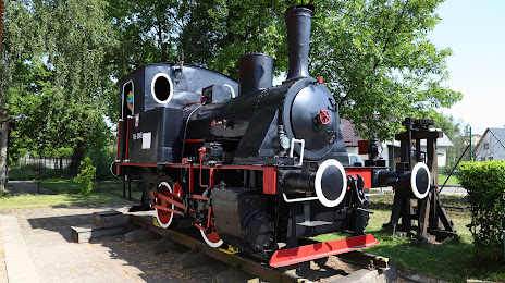
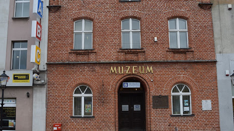
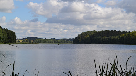
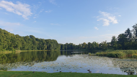
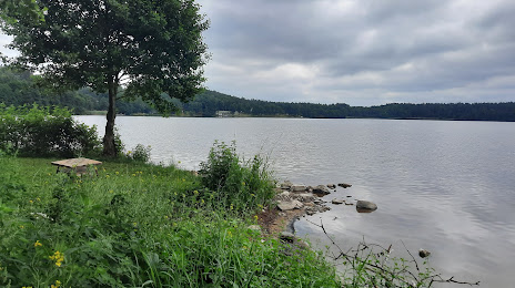
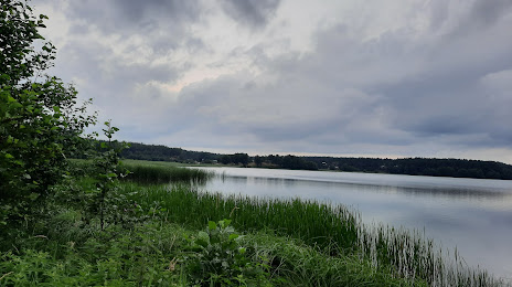
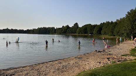
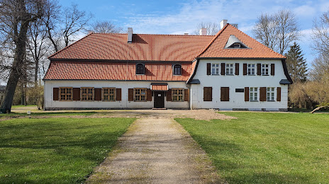
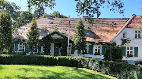
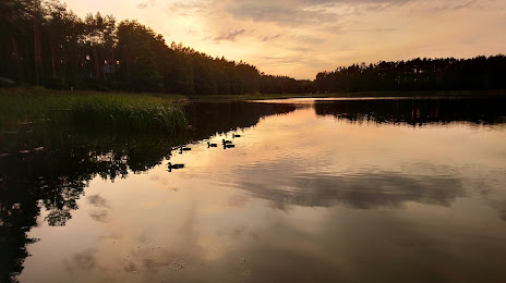
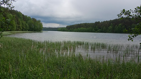
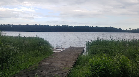
Attractions


Distance to the capital
Distance to the capital (Warsaw) is about — 292 km.