
 Trzebiatów
Jedrzejow
Otwock
Koscierzyna
Lubliniec
Łazy
Trzcianka
Wodzislaw Slaski
Reda
Tarnowo Podgórne
Zawiercie
Mogilno
Kożuchów
Piaseczno
Lubartow
Ząbkowice Śląskie
Nowa Ruda
Nowe
Nowa Sol
Trzebiatów
Jedrzejow
Otwock
Koscierzyna
Lubliniec
Łazy
Trzcianka
Wodzislaw Slaski
Reda
Tarnowo Podgórne
Zawiercie
Mogilno
Kożuchów
Piaseczno
Lubartow
Ząbkowice Śląskie
Nowa Ruda
Nowe
Nowa Sol
Brodnica on the map, Poland
Where is located Brodnica
Exact location — Brodnica, Brodnica County, Kuyavian-Pomeranian Voivodeship, Poland, marked on the map with a red marker.
Coordinates
Brodnica, Poland coordinates in decimal format: latitude — 53.2599703, longitude — 19.3956618. When converted to degrees, minutes, seconds Brodnica has the following coordinates: 53°15′35.89 north latitude and 19°23′44.38 east longitude.
Population
Brodnica, Brodnica County, Kuyavian-Pomeranian Voivodeship, Poland, according to our data the population is — 27,341 residents, which is about 0.1% of the total population of the country (Poland).
Comparison of the population on the graph:
Exact time
Time zone for this location Brodnica — UTC +2 Europe/Warsaw. Exact time — thursday, 5 may 2024 year, 21 h. 49 minutes.
Sunrise and sunset
Brodnica, sunrise and sunset data for a date — thursday 2.05.2024.
| Sunrise | Sunset | Day (duration) |
|---|---|---|
| 05:09 -2 minutes | 20:09 +2 minutes | 15 h. 0 minutes. +4 minutes |
You can control the scale of the map using the auxiliary tools to find out exactly where it is located Brodnica. When you change the scale of the map, the width of the ruler also changes (in kilometers and miles).
Nearby cities
The largest cities that are located nearby:
- Torun — 60 km
- Wloclawek — 71 km
- Plock — 82 km
- Olsztyn — 91 km
- Bydgoszcz — 93 km
- Elblag — 99 km
- Gdańsk — 130 km
- Gdynia — 150 km
- Łódź — 166 km
- Kaliningrad
 (Russia) — 176 km
 - Kalisz — 188 km
- Poznań — 192 km
- Koszalin — 233 km
- Radom — 238 km
- Bialystok — 251 km
- Częstochowa — 271 km
- Kielce — 278 km
- Gorzów Wielkopolski — 284 km
- Wrocław — 289 km
Distance to neighboring capitals:
- Berlin
 (Germany) — 410 km
 - Vilnius
 (Lithuania) — 416 km
 - Prague
 (Czech Republic) — 492 km
 - Rīga
 (Latvia) — 508 km
 - Copenhagen
 (Denmark) — 516 km
 - Minsk
 (Belarus) — 544 km
 - Bratislava
 (Slovakia) — 591 km
 - Vienna
 (Austria) — 601 km
 - Budapest
 (Hungary) — 641 km
 - Kyiv
 (Ukraine) — 825 km
 - Helsinki
 (Finland) — 839 km
 - Belgrade
 (Serbia) — 946 km
 - Amsterdam
 (Netherlands) — 978 km
 - Bucharest
 (Romania) — 1097 km
 - Bern
 (Switzerland) — 1102 km
 - Moscow (Russia) — 1205 km
- Paris
 (France) — 1284 km
 - Tbilisi
 (Georgia) — 2280 km
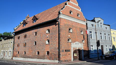
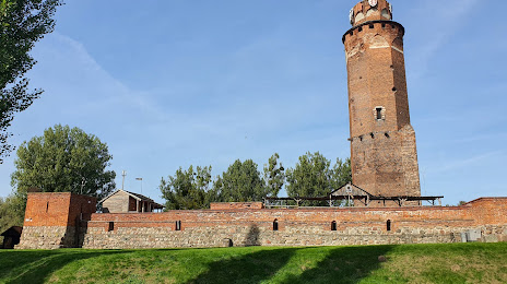
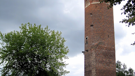
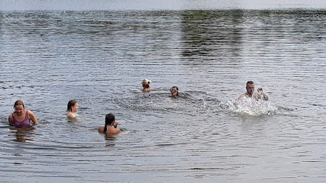
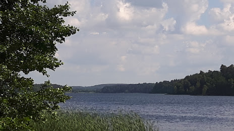
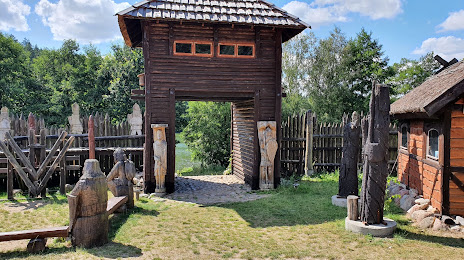
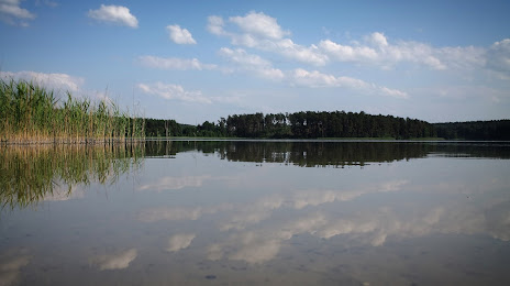
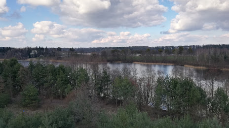
Attractions


Distance to the capital
Distance to the capital (Warsaw) is about — 158 km.