
 Milanówek
Cisna
Janikowo
Chrzanow
Slubice
Nowy Dwór Mazowiecki
Brodnica
Minsk Mazowiecki
Garwolin
Oława
Pyskowice
Górno
Wolow
Sandomierz
Skierniewice
Brok
Gizycko
Busko-Zdrój
Ustka
Milanówek
Cisna
Janikowo
Chrzanow
Slubice
Nowy Dwór Mazowiecki
Brodnica
Minsk Mazowiecki
Garwolin
Oława
Pyskowice
Górno
Wolow
Sandomierz
Skierniewice
Brok
Gizycko
Busko-Zdrój
Ustka
Nowa Ruda on the map, Poland
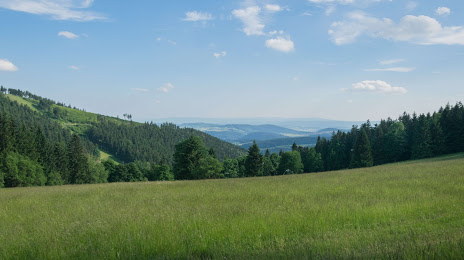
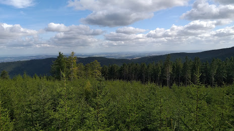
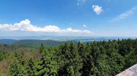
Where is located Nowa Ruda
Exact location — Nowa Ruda, Kłodzko County, Lower Silesian Voivodeship, Poland, marked on the map with a red marker.
Coordinates
Nowa Ruda, Poland coordinates in decimal format: latitude — 50.5797139, longitude — 16.5037092. When converted to degrees, minutes, seconds Nowa Ruda has the following coordinates: 50°34′46.97 north latitude and 16°30′13.35 east longitude.
Population
Nowa Ruda, Kłodzko County, Lower Silesian Voivodeship, Poland, according to our data the population is — 24,753 residents, which is about 0.1% of the total population of the country (Poland).
Comparison of the population on the graph:
Exact time
Time zone for this location Nowa Ruda — UTC +2 Europe/Warsaw. Exact time — wednesday, 5 may 2024 year, 22 h. 40 minutes.
Sunrise and sunset
Nowa Ruda, sunrise and sunset data for a date — wednesday 8.05.2024.
| Sunrise | Sunset | Day (duration) |
|---|---|---|
| 05:19 -2 minutes | 20:21 +2 minutes | 15 h. 0 minutes. +4 minutes |
You can control the scale of the map using the auxiliary tools to find out exactly where it is located Nowa Ruda. When you change the scale of the map, the width of the ruler also changes (in kilometers and miles).
Nearby cities
The largest cities that are located nearby:
- Walbrzych — 27 km
- Wrocław — 69 km
- Legnica — 73 km
- Opole — 100 km
- Olomouc
 (Czech Republic) — 121 km
 - Ostrava (Czech Republic) — 151 km
- Brno (Czech Republic) — 153 km
- Rybnik — 154 km
- Gliwice — 156 km
- Prague (Czech Republic) — 157 km
- Zabrze — 164 km
- Zielona Gora — 165 km
- Ruda Slaska — 170 km
- Kalisz — 170 km
- Bytom — 172 km
- Chorzow — 176 km
- Katowice — 181 km
- Częstochowa — 185 km
- Sosnowiec — 187 km
Distance to neighboring capitals:
- Prague (Czech Republic) — 157 km
- Vienna
 (Austria) — 264 km
 - Bratislava
 (Slovakia) — 274 km
 - Berlin
 (Germany) — 304 km
 - Budapest
 (Hungary) — 389 km
 - Copenhagen
 (Denmark) — 624 km
 - Belgrade
 (Serbia) — 709 km
 - Vilnius
 (Lithuania) — 747 km
 - Bern
 (Switzerland) — 777 km
 - Amsterdam
 (Netherlands) — 828 km
 - Minsk
 (Belarus) — 838 km
 - Rīga
 (Latvia) — 866 km
 - Kyiv
 (Ukraine) — 990 km
 - Bucharest
 (Romania) — 993 km
 - Paris
 (France) — 1034 km
 - Helsinki
 (Finland) — 1191 km
 - Moscow
 (Russia) — 1513 km
 - Tbilisi
 (Georgia) — 2373 km
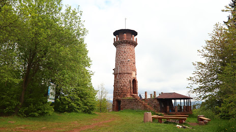
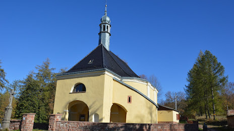
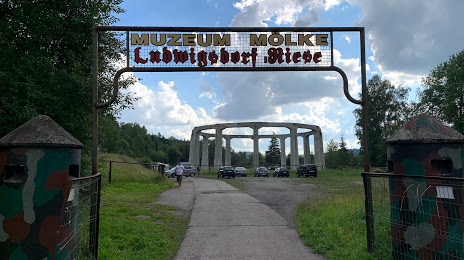
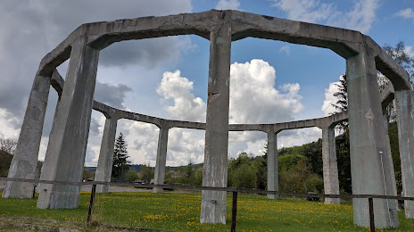
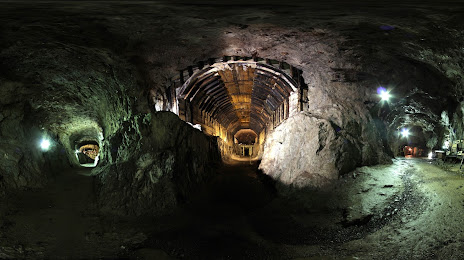
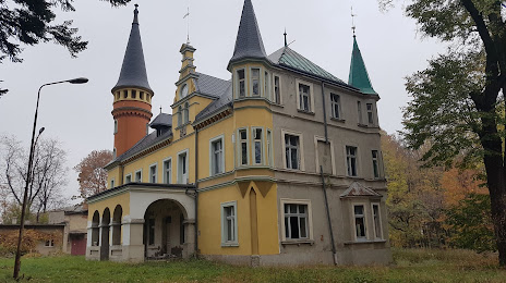
Attractions


Distance to the capital
Distance to the capital (Warsaw) is about — 363 km.