
 Grunwald
Glogow
Zdunska Wola
Łask
Wielun
Koscian
Trzebiatów
Jedrzejow
Otwock
Ząbkowice Śląskie
Nowa Ruda
Nowe
Nowa Sol
Swarzędz
Brzeg
Augustow
Łąka
Radomsko
Sochaczew
Grunwald
Glogow
Zdunska Wola
Łask
Wielun
Koscian
Trzebiatów
Jedrzejow
Otwock
Ząbkowice Śląskie
Nowa Ruda
Nowe
Nowa Sol
Swarzędz
Brzeg
Augustow
Łąka
Radomsko
Sochaczew
Milanówek on the map, Poland
Where is located Milanówek
Exact location — Milanówek, Grodzisk Mazowiecki County, Masovian Voivodeship, Poland, marked on the map with a red marker.
Coordinates
Milanówek, Poland coordinates in decimal format: latitude — 52.1185315, longitude — 20.6716234. When converted to degrees, minutes, seconds Milanówek has the following coordinates: 52°7′6.71 north latitude and 20°40′17.84 east longitude.
Population
Milanówek, Grodzisk Mazowiecki County, Masovian Voivodeship, Poland, according to our data the population is — 15,451 residents, which is about 0% of the total population of the country (Poland).
Comparison of the population on the graph:
Exact time
Time zone for this location Milanówek — UTC +2 Europe/Warsaw. Exact time — saturday, 4 april 2024 year, 12 h. 25 minutes.
Sunrise and sunset
Milanówek, sunrise and sunset data for a date — saturday 27.04.2024.
| Sunrise | Sunset | Day (duration) |
|---|---|---|
| 05:17 -2 minutes | 19:51 +1 minute | 14 h. 36 minutes. +3 minutes |
You can control the scale of the map using the auxiliary tools to find out exactly where it is located Milanówek. When you change the scale of the map, the width of the ruler also changes (in kilometers and miles).
Nearby cities
The largest cities that are located nearby:
- Plock — 80 km
- Radom — 86 km
- Łódź — 92 km
- Wloclawek — 123 km
- Kielce — 139 km
- Lublin — 163 km
- Torun — 170 km
- Częstochowa — 181 km
- Kalisz — 181 km
- Olsztyn — 184 km
- Bialystok — 200 km
- Brest
 (Belarus) — 208 km
 - Bydgoszcz — 209 km
- Dabrowa Gornicza — 224 km
- Sosnowiec — 231 km
- Bytom — 232 km
- Kraków — 233 km
- Tarnow — 234 km
- Chorzow — 235 km
Distance to neighboring capitals:
- Vilnius
 (Lithuania) — 418 km
 - Prague
 (Czech Republic) — 491 km
 - Berlin
 (Germany) — 496 km
 - Minsk (Belarus) — 502 km
- Bratislava
 (Slovakia) — 510 km
 - Budapest
 (Hungary) — 527 km
 - Vienna
 (Austria) — 532 km
 - Rīga
 (Latvia) — 581 km
 - Copenhagen
 (Denmark) — 662 km
 - Kyiv
 (Ukraine) — 709 km
 - Belgrade
 (Serbia) — 816 km
 - Helsinki
 (Finland) — 934 km
 - Bucharest
 (Romania) — 945 km
 - Amsterdam
 (Netherlands) — 1073 km
 - Bern
 (Switzerland) — 1112 km
 - Moscow
 (Russia) — 1177 km
 - Paris
 (France) — 1342 km
 - Tbilisi
 (Georgia) — 2151 km
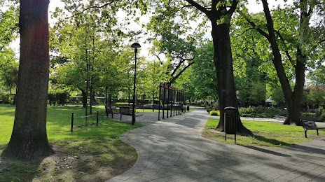
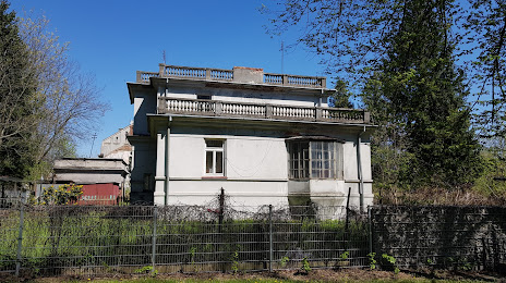
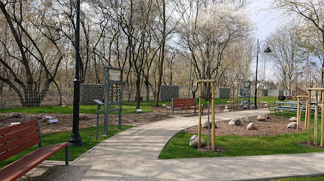
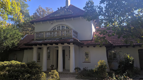
Attractions


Distance to the capital
Distance to the capital (Warsaw) is about — 26 km.