
 Cisna
Janikowo
Chrzanow
Slubice
Nowy Dwór Mazowiecki
Brodnica
Minsk Mazowiecki
Garwolin
Wegrow
Starachowice
Oława
Pyskowice
Górno
Wolow
Sandomierz
Skierniewice
Brok
Gizycko
Busko-Zdrój
Cisna
Janikowo
Chrzanow
Slubice
Nowy Dwór Mazowiecki
Brodnica
Minsk Mazowiecki
Garwolin
Wegrow
Starachowice
Oława
Pyskowice
Górno
Wolow
Sandomierz
Skierniewice
Brok
Gizycko
Busko-Zdrój
Ząbkowice Śląskie on the map, Poland
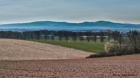
Where is located Ząbkowice Śląskie
Exact location — Ząbkowice Śląskie, Ząbkowice Śląskie County, Lower Silesian Voivodeship, Poland, marked on the map with a red marker.
Coordinates
Ząbkowice Śląskie, Poland coordinates in decimal format: latitude — 50.5893617, longitude — 16.8132419. When converted to degrees, minutes, seconds Ząbkowice Śląskie has the following coordinates: 50°35′21.7 north latitude and 16°48′47.67 east longitude.
Population
Ząbkowice Śląskie, Ząbkowice Śląskie County, Lower Silesian Voivodeship, Poland, according to our data the population is — 16,321 residents, which is about 0% of the total population of the country (Poland).
Comparison of the population on the graph:
Exact time
Time zone for this location Ząbkowice Śląskie — UTC +2 Europe/Warsaw. Exact time — thursday, 5 may 2024 year, 08 h. 28 minutes.
Sunrise and sunset
Ząbkowice Śląskie, sunrise and sunset data for a date — thursday 9.05.2024.
| Sunrise | Sunset | Day (duration) |
|---|---|---|
| 05:16 -2 minutes | 20:21 +1 minute | 15 h. 6 minutes. +3 minutes |
You can control the scale of the map using the auxiliary tools to find out exactly where it is located Ząbkowice Śląskie. When you change the scale of the map, the width of the ruler also changes (in kilometers and miles).
Nearby cities
The largest cities that are located nearby:
- Walbrzych — 43 km
- Wrocław — 59 km
- Opole — 78 km
- Legnica — 82 km
- Olomouc
 (Czech Republic) — 114 km
 - Ostrava (Czech Republic) — 134 km
- Rybnik — 134 km
- Gliwice — 135 km
- Zabrze — 142 km
- Ruda Slaska — 149 km
- Bytom — 151 km
- Chorzow — 155 km
- Brno (Czech Republic) — 155 km
- Kalisz — 157 km
- Katowice — 160 km
- Częstochowa — 163 km
- Sosnowiec — 165 km
- Dabrowa Gornicza — 171 km
- Zielona Gora — 173 km
Distance to neighboring capitals:
- Prague (Czech Republic) — 178 km
- Vienna
 (Austria) — 267 km
 - Bratislava
 (Slovakia) — 273 km
 - Berlin
 (Germany) — 319 km
 - Budapest
 (Hungary) — 380 km
 - Copenhagen
 (Denmark) — 632 km
 - Belgrade
 (Serbia) — 700 km
 - Vilnius
 (Lithuania) — 730 km
 - Bern
 (Switzerland) — 796 km
 - Minsk
 (Belarus) — 818 km
 - Amsterdam
 (Netherlands) — 848 km
 - Rīga
 (Latvia) — 854 km
 - Kyiv
 (Ukraine) — 968 km
 - Bucharest
 (Romania) — 977 km
 - Paris
 (France) — 1056 km
 - Helsinki
 (Finland) — 1181 km
 - Moscow
 (Russia) — 1494 km
 - Tbilisi
 (Georgia) — 2352 km
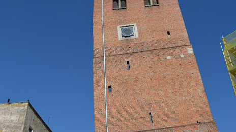
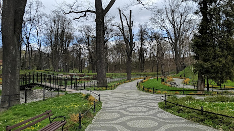
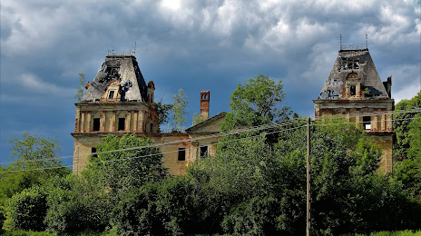
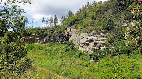
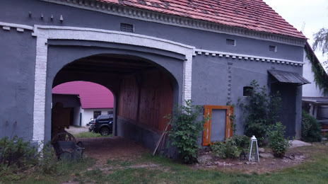
Attractions

Distance to the capital
Distance to the capital (Warsaw) is about — 344 km.