
 Lubartow
Piaseczno
Kożuchów
Mogilno
Zawiercie
Tarnowo Podgórne
Hajnówka
Zlocieniec
Radzyń Chełmiński
Leczyca
Gostyn
Polkowice
Paczków
Psary
Gostynin
Gryfino
Stary Sącz
Szczecinek
Bilgoraj
Lubartow
Piaseczno
Kożuchów
Mogilno
Zawiercie
Tarnowo Podgórne
Hajnówka
Zlocieniec
Radzyń Chełmiński
Leczyca
Gostyn
Polkowice
Paczków
Psary
Gostynin
Gryfino
Stary Sącz
Szczecinek
Bilgoraj
Starachowice on the map, Poland
Where is located Starachowice
Exact location — Starachowice, Starachowice County, Swietokrzyskie, Poland, marked on the map with a red marker.
Coordinates
Starachowice, Poland coordinates in decimal format: latitude — 51.0368289, longitude — 21.0709769. When converted to degrees, minutes, seconds Starachowice has the following coordinates: 51°2′12.58 north latitude and 21°4′15.52 east longitude.
Population
Starachowice, Starachowice County, Swietokrzyskie, Poland, according to our data the population is — 53,738 residents, which is about 0.1% of the total population of the country (Poland).
Comparison of the population on the graph:
Exact time
Time zone for this location Starachowice — UTC +2 Europe/Warsaw. Exact time — thursday, 5 may 2024 year, 01 h. 24 minutes.
Sunrise and sunset
Starachowice, sunrise and sunset data for a date — thursday 2.05.2024.
| Sunrise | Sunset | Day (duration) |
|---|---|---|
| 05:10 -1 minute | 19:55 +2 minutes | 14 h. 48 minutes. +3 minutes |
You can control the scale of the map using the auxiliary tools to find out exactly where it is located Starachowice. When you change the scale of the map, the width of the ruler also changes (in kilometers and miles).
Nearby cities
The largest cities that are located nearby:
- Kielce — 36 km
- Radom — 41 km
- Lublin — 106 km
- Tarnow — 113 km
- Rzeszow — 128 km
- Kraków — 134 km
- Łódź — 136 km
- Częstochowa — 139 km
- Dabrowa Gornicza — 154 km
- Sosnowiec — 162 km
- Katowice — 168 km
- Bytom — 170 km
- Chorzow — 170 km
- Ruda Slaska — 179 km
- Zabrze — 179 km
- Gliwice — 188 km
- Plock — 190 km
- Bielsko-Biala — 197 km
- Rybnik — 207 km
Distance to neighboring capitals:
- Budapest
 (Hungary) — 420 km
 - Bratislava
 (Slovakia) — 430 km
 - Vienna
 (Austria) — 462 km
 - Prague
 (Czech Republic) — 481 km
 - Vilnius
 (Lithuania) — 494 km
 - Minsk
 (Belarus) — 543 km
 - Berlin
 (Germany) — 552 km
 - Kyiv
 (Ukraine) — 668 km
 - Rīga
 (Latvia) — 687 km
 - Belgrade
 (Serbia) — 697 km
 - Copenhagen
 (Denmark) — 764 km
 - Bucharest
 (Romania) — 825 km
 - Helsinki
 (Finland) — 1044 km
 - Bern
 (Switzerland) — 1091 km
 - Amsterdam
 (Netherlands) — 1122 km
 - Moscow
 (Russia) — 1212 km
 - Paris
 (France) — 1358 km
 - Tbilisi
 (Georgia) — 2081 km
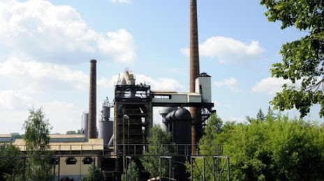
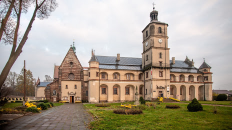
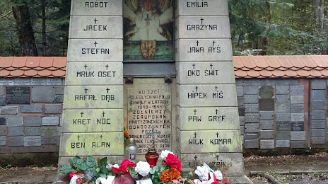
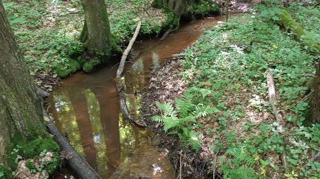
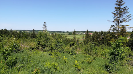
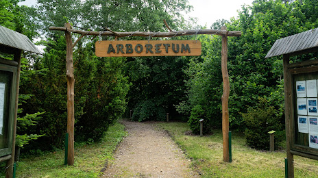
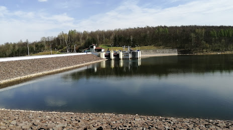
Attractions
Distance to the capital
Distance to the capital (Warsaw) is about — 133 km.