
 Wegrow
Nowa Dęba
Łambinowice
Grunwald
Glogow
Zdunska Wola
Łask
Wielun
Koscian
Nowa Sol
Swarzędz
Brzeg
Augustow
Łąka
Radomsko
Sochaczew
Połaniec
Starachowice
Oława
Wegrow
Nowa Dęba
Łambinowice
Grunwald
Glogow
Zdunska Wola
Łask
Wielun
Koscian
Nowa Sol
Swarzędz
Brzeg
Augustow
Łąka
Radomsko
Sochaczew
Połaniec
Starachowice
Oława
Zlocieniec on the map, Poland
Where is located Zlocieniec
Exact location — Zlocieniec, Drawsko County, West Pomeranian Voivodeship, Poland, marked on the map with a red marker.
Coordinates
Zlocieniec, Poland coordinates in decimal format: latitude — 53.5326, longitude — 16.01056. When converted to degrees, minutes, seconds Zlocieniec has the following coordinates: 53°31′57.36 north latitude and 16°0′38.02 east longitude.
Population
Zlocieniec, Drawsko County, West Pomeranian Voivodeship, Poland, according to our data the population is — 13,337 residents, which is about 0% of the total population of the country (Poland).
Comparison of the population on the graph:
Exact time
Time zone for this location Zlocieniec — UTC +2 Europe/Warsaw. Exact time — wednesday, 5 may 2024 year, 01 h. 16 minutes.
Sunrise and sunset
Zlocieniec, sunrise and sunset data for a date — wednesday 15.05.2024.
| Sunrise | Sunset | Day (duration) |
|---|---|---|
| 04:58 -2 minutes | 20:45 +1 minute | 15 h. 48 minutes. +3 minutes |
You can control the scale of the map using the auxiliary tools to find out exactly where it is located Zlocieniec. When you change the scale of the map, the width of the ruler also changes (in kilometers and miles).
Nearby cities
The largest cities that are located nearby:
- Koszalin — 74 km
- Szczecin — 97 km
- Gorzów Wielkopolski — 103 km
- Poznań — 139 km
- Bydgoszcz — 140 km
- Zielona Gora — 180 km
- Torun — 181 km
- Gdańsk — 193 km
- Gdynia — 195 km
- Berlin
 (Germany) — 208 km
 - Berlin (Germany) — 210 km
- Wloclawek — 227 km
- Cottbus (Germany) — 227 km
- Elblag — 230 km
- Potsdam (Germany) — 236 km
- Kalisz — 241 km
- Legnica — 257 km
- Rostock (Germany) — 261 km
- Plock — 271 km
Distance to neighboring capitals:
- Berlin (Germany) — 208 km
- Copenhagen
 (Denmark) — 326 km
 - Prague
 (Czech Republic) — 399 km
 - Vienna
 (Austria) — 593 km
 - Bratislava
 (Slovakia) — 604 km
 - Vilnius
 (Lithuania) — 617 km
 - Rīga
 (Latvia) — 638 km
 - Budapest
 (Hungary) — 704 km
 - Amsterdam
 (Netherlands) — 755 km
 - Minsk
 (Belarus) — 761 km
 - Helsinki
 (Finland) — 915 km
 - Bern
 (Switzerland) — 951 km
 - Belgrade
 (Serbia) — 1024 km
 - Kyiv
 (Ukraine) — 1049 km
 - Paris
 (France) — 1082 km
 - Bucharest
 (Romania) — 1250 km
 - Moscow
 (Russia) — 1406 km
 - Tbilisi
 (Georgia) — 2500 km
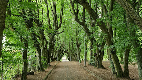
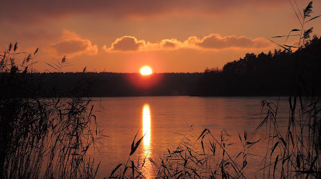
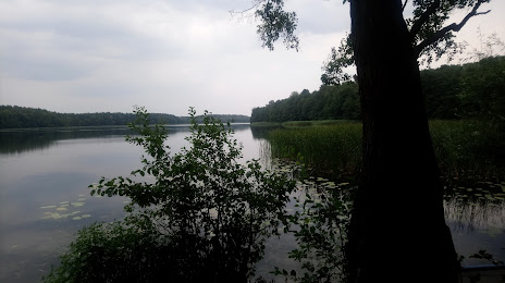
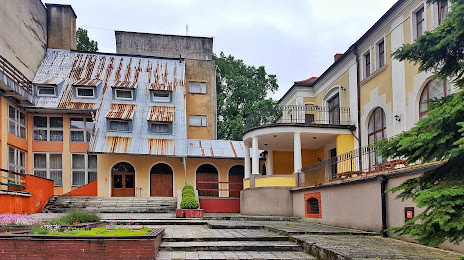
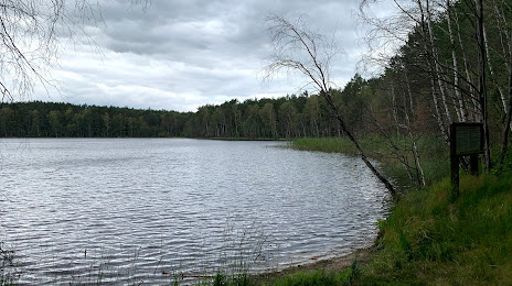
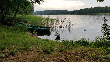
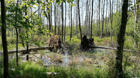
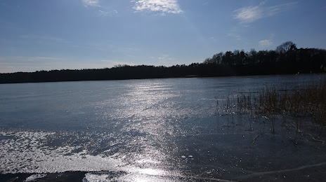
Attractions


Distance to the capital
Distance to the capital (Warsaw) is about — 366 km.