
 Wodzislaw Slaski
Reda
Plonsk
Świercze
Raciaz
Słońsk
Strzegowo
Winnica
Bieruń
Janikowo
Cisna
Milanówek
Raszyn
Radzyń Chełmiński
Zlocieniec
Hajnówka
Tarnowo Podgórne
Zawiercie
Mogilno
Wodzislaw Slaski
Reda
Plonsk
Świercze
Raciaz
Słońsk
Strzegowo
Winnica
Bieruń
Janikowo
Cisna
Milanówek
Raszyn
Radzyń Chełmiński
Zlocieniec
Hajnówka
Tarnowo Podgórne
Zawiercie
Mogilno
Glogow on the map, Poland
Where is located Glogow
Exact location — Glogow, Głogów County, Lower Silesian Voivodeship, Poland, marked on the map with a red marker.
Coordinates
Glogow, Poland coordinates in decimal format: latitude — 51.6635852, longitude — 16.0846672. When converted to degrees, minutes, seconds Glogow has the following coordinates: 51°39′48.91 north latitude and 16°5′4.8 east longitude.
Population
Glogow, Głogów County, Lower Silesian Voivodeship, Poland, according to our data the population is — 68,530 residents, which is about 0.2% of the total population of the country (Poland).
Comparison of the population on the graph:
Exact time
Time zone for this location Glogow — UTC +2 Europe/Warsaw. Exact time — thursday, 5 may 2024 year, 00 h. 21 minute.
Sunrise and sunset
Glogow, sunrise and sunset data for a date — thursday 9.05.2024.
| Sunrise | Sunset | Day (duration) |
|---|---|---|
| 05:15 -2 minutes | 20:28 +2 minutes | 15 h. 12 minutes. +4 minutes |
You can control the scale of the map using the auxiliary tools to find out exactly where it is located Glogow. When you change the scale of the map, the width of the ruler also changes (in kilometers and miles).
Nearby cities
The largest cities that are located nearby:
- Zielona Gora — 50 km
- Legnica — 51 km
- Wrocław — 90 km
- Walbrzych — 98 km
- Poznań — 100 km
- Cottbus
 (Germany) — 120 km
 - Gorzów Wielkopolski — 131 km
- Kalisz — 137 km
- Opole — 169 km
- Dresden (Germany) — 177 km
- Berlin (Germany) — 203 km
- Berlin (Germany) — 204 km
- Bydgoszcz — 206 km
- Prague
 (Czech Republic) — 211 km
 - Potsdam (Germany) — 219 km
- Szczecin — 220 km
- Torun — 224 km
- Wloclawek — 228 km
- Łódź — 231 km
Distance to neighboring capitals:
- Berlin (Germany) — 206 km
- Prague (Czech Republic) — 211 km
- Vienna
 (Austria) — 385 km
 - Bratislava
 (Slovakia) — 398 km
 - Copenhagen
 (Denmark) — 503 km
 - Budapest
 (Hungary) — 510 km
 - Vilnius
 (Lithuania) — 698 km
 - Amsterdam
 (Netherlands) — 769 km
 - Rīga
 (Latvia) — 784 km
 - Minsk
 (Belarus) — 810 km
 - Bern
 (Switzerland) — 816 km
 - Belgrade
 (Serbia) — 830 km
 - Kyiv
 (Ukraine) — 1017 km
 - Paris
 (France) — 1023 km
 - Helsinki
 (Finland) — 1094 km
 - Bucharest
 (Romania) — 1095 km
 - Moscow
 (Russia) — 1482 km
 - Tbilisi
 (Georgia) — 2431 km
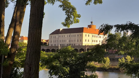
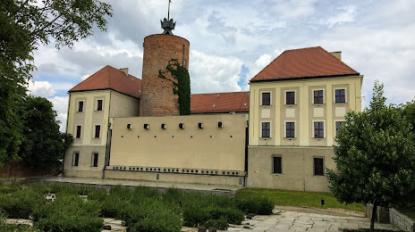
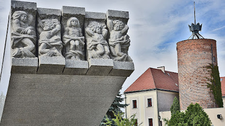
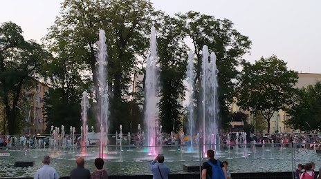
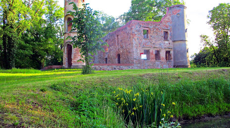
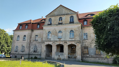
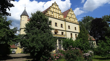
Attractions

Distance to the capital
Distance to the capital (Warsaw) is about — 344 km.