
 Oława
Starachowice
Połaniec
Sochaczew
Radomsko
Łąka
Augustow
Brzeg
Swarzędz
Bogatynia
Wieruszow
Myslowice
Ilawa
Belchatow
Mszczonow
Lubin
Pelplin
Pleszew
Olesno
Oława
Starachowice
Połaniec
Sochaczew
Radomsko
Łąka
Augustow
Brzeg
Swarzędz
Bogatynia
Wieruszow
Myslowice
Ilawa
Belchatow
Mszczonow
Lubin
Pelplin
Pleszew
Olesno
Polkowice on the map, Poland
Where is located Polkowice
Exact location — Polkowice, polkowicki, Lower Silesian Voivodeship, Poland, marked on the map with a red marker.
Coordinates
Polkowice, Poland coordinates in decimal format: latitude — 51.5024848, longitude — 16.0620494. When converted to degrees, minutes, seconds Polkowice has the following coordinates: 51°30′8.95 north latitude and 16°3′43.38 east longitude.
Population
Polkowice, polkowicki, Lower Silesian Voivodeship, Poland, according to our data the population is — 21,565 residents, which is about 0.1% of the total population of the country (Poland).
Comparison of the population on the graph:
Exact time
Time zone for this location Polkowice — UTC +2 Europe/Warsaw. Exact time — friday, 5 may 2024 year, 14 h. 07 minutes.
Sunrise and sunset
Polkowice, sunrise and sunset data for a date — friday 10.05.2024.
| Sunrise | Sunset | Day (duration) |
|---|---|---|
| 05:14 -2 minutes | 20:29 +2 minutes | 15 h. 18 minutes. +4 minutes |
You can control the scale of the map using the auxiliary tools to find out exactly where it is located Polkowice. When you change the scale of the map, the width of the ruler also changes (in kilometers and miles).
Nearby cities
The largest cities that are located nearby:
- Legnica — 33 km
- Zielona Gora — 61 km
- Wrocław — 81 km
- Walbrzych — 81 km
- Poznań — 116 km
- Cottbus
 (Germany) — 122 km
 - Kalisz — 142 km
- Gorzów Wielkopolski — 147 km
- Opole — 159 km
- Dresden (Germany) — 169 km
- Prague
 (Czech Republic) — 195 km
 - Berlin (Germany) — 211 km
- Berlin (Germany) — 211 km
- Bydgoszcz — 221 km
- Potsdam (Germany) — 225 km
- Częstochowa — 227 km
- Olomouc (Czech Republic) — 228 km
- Gliwice — 228 km
- Chemnitz (Germany) — 232 km
Distance to neighboring capitals:
- Prague (Czech Republic) — 196 km
- Berlin (Germany) — 214 km
- Vienna
 (Austria) — 367 km
 - Bratislava
 (Slovakia) — 381 km
 - Budapest
 (Hungary) — 495 km
 - Copenhagen
 (Denmark) — 518 km
 - Vilnius
 (Lithuania) — 709 km
 - Amsterdam
 (Netherlands) — 771 km
 - Rīga
 (Latvia) — 799 km
 - Bern
 (Switzerland) — 804 km
 - Belgrade
 (Serbia) — 814 km
 - Minsk
 (Belarus) — 819 km
 - Paris
 (France) — 1018 km
 - Kyiv
 (Ukraine) — 1018 km
 - Bucharest
 (Romania) — 1084 km
 - Helsinki
 (Finland) — 1110 km
 - Moscow
 (Russia) — 1491 km
 - Tbilisi
 (Georgia) — 2428 km
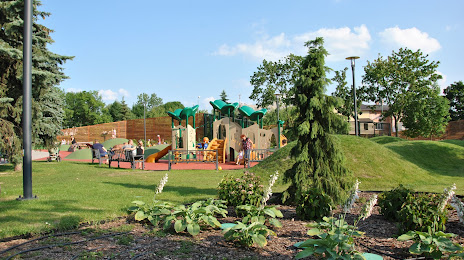
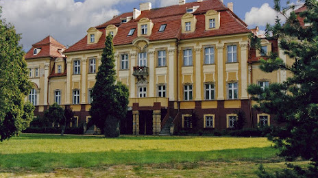
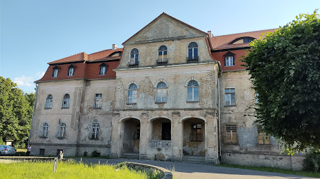
Attractions
Distance to the capital
Distance to the capital (Warsaw) is about — 349 km.