
 Psary
Paczków
Polkowice
Gostyn
Leczyca
Ustka
Busko-Zdrój
Gizycko
Brok
Chociwel
Legionowo
Alwernia
Raciborz
Ryki
Brzeszcze
Grudziadz
Sanok
Ostrow Mazowiecka
Ruda Slaska
Psary
Paczków
Polkowice
Gostyn
Leczyca
Ustka
Busko-Zdrój
Gizycko
Brok
Chociwel
Legionowo
Alwernia
Raciborz
Ryki
Brzeszcze
Grudziadz
Sanok
Ostrow Mazowiecka
Ruda Slaska
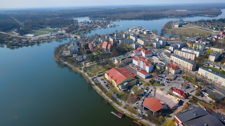
Ilawa on the map, Poland
Where is located Ilawa
Exact location — Ilawa, Iława County, Warmian-Masurian Voivodeship, Poland, marked on the map with a red marker.
Coordinates
Ilawa, Poland coordinates in decimal format: latitude — 53.5959811, longitude — 19.5684104. When converted to degrees, minutes, seconds Ilawa has the following coordinates: 53°35′45.53 north latitude and 19°34′6.28 east longitude.
Population
Ilawa, Iława County, Warmian-Masurian Voivodeship, Poland, according to our data the population is — 32,557 residents, which is about 0.1% of the total population of the country (Poland).
Comparison of the population on the graph:
Exact time
Time zone for this location Ilawa — UTC +2 Europe/Warsaw. Exact time — thursday, 5 may 2024 year, 10 h. 38 minutes.
Sunrise and sunset
Ilawa, sunrise and sunset data for a date — thursday 9.05.2024.
| Sunrise | Sunset | Day (duration) |
|---|---|---|
| 04:54 -2 minutes | 20:21 +1 minute | 15 h. 30 minutes. +3 minutes |
You can control the scale of the map using the auxiliary tools to find out exactly where it is located Ilawa. When you change the scale of the map, the width of the ruler also changes (in kilometers and miles).
Nearby cities
The largest cities that are located nearby:
- Elblag — 63 km
- Olsztyn — 63 km
- Torun — 91 km
- Gdańsk — 103 km
- Wloclawek — 110 km
- Bydgoszcz — 116 km
- Plock — 116 km
- Gdynia — 122 km
- Kaliningrad
 (Russia) — 138 km
 - Łódź — 203 km
- Poznań — 222 km
- Kalisz — 226 km
- Koszalin — 229 km
- Bialystok — 244 km
- Klaipėda
 (Lithuania) — 253 km
 - Radom — 266 km
- Gorzów Wielkopolski — 305 km
- Częstochowa — 309 km
- Kielce — 311 km
Distance to neighboring capitals:
- Vilnius (Lithuania) — 391 km
- Berlin
 (Germany) — 429 km
 - Rīga
 (Latvia) — 471 km
 - Copenhagen
 (Denmark) — 506 km
 - Minsk
 (Belarus) — 527 km
 - Prague
 (Czech Republic) — 527 km
 - Bratislava
 (Slovakia) — 630 km
 - Vienna
 (Austria) — 640 km
 - Budapest
 (Hungary) — 679 km
 - Helsinki
 (Finland) — 800 km
 - Kyiv
 (Ukraine) — 826 km
 - Belgrade
 (Serbia) — 982 km
 - Amsterdam
 (Netherlands) — 990 km
 - Bucharest
 (Romania) — 1125 km
 - Bern
 (Switzerland) — 1133 km
 - Moscow (Russia) — 1182 km
- Paris
 (France) — 1306 km
 - Tbilisi
 (Georgia) — 2286 km
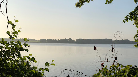
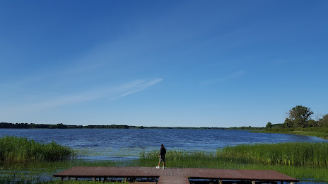
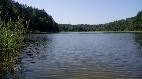
Attractions


Distance to the capital
Distance to the capital (Warsaw) is about — 180 km.