
 Stary Sącz
Gryfino
Gostynin
Psary
Paczków
Polkowice
Gostyn
Leczyca
Ustka
Raciborz
Ryki
Brzeszcze
Grudziadz
Sanok
Ostrow Mazowiecka
Ruda Slaska
Chorzow
Radzymin
Przemyśl
Stary Sącz
Gryfino
Gostynin
Psary
Paczków
Polkowice
Gostyn
Leczyca
Ustka
Raciborz
Ryki
Brzeszcze
Grudziadz
Sanok
Ostrow Mazowiecka
Ruda Slaska
Chorzow
Radzymin
Przemyśl
Lubin on the map, Poland
Where is located Lubin
Exact location — Lubin, Lubin County, Lower Silesian Voivodeship, Poland, marked on the map with a red marker.
Coordinates
Lubin, Poland coordinates in decimal format: latitude — 51.4042025, longitude — 16.1938917. When converted to degrees, minutes, seconds Lubin has the following coordinates: 51°24′15.13 north latitude and 16°11′38.01 east longitude.
Population
Lubin, Lubin County, Lower Silesian Voivodeship, Poland, according to our data the population is — 77,532 residents, which is about 0.2% of the total population of the country (Poland).
Comparison of the population on the graph:
Exact time
Time zone for this location Lubin — UTC +2 Europe/Warsaw. Exact time — thursday, 5 may 2024 year, 11 h. 59 minutes.
Sunrise and sunset
Lubin, sunrise and sunset data for a date — thursday 9.05.2024.
| Sunrise | Sunset | Day (duration) |
|---|---|---|
| 05:16 -1 minute | 20:26 +1 minute | 15 h. 12 minutes. +2 minutes |
You can control the scale of the map using the auxiliary tools to find out exactly where it is located Lubin. When you change the scale of the map, the width of the ruler also changes (in kilometers and miles).
Nearby cities
The largest cities that are located nearby:
- Legnica — 22 km
- Wrocław — 67 km
- Walbrzych — 69 km
- Zielona Gora — 75 km
- Poznań — 121 km
- Cottbus
 (Germany) — 133 km
 - Kalisz — 136 km
- Opole — 145 km
- Gorzów Wielkopolski — 160 km
- Dresden (Germany) — 175 km
- Prague
 (Czech Republic) — 193 km
 - Gliwice — 214 km
- Olomouc (Czech Republic) — 214 km
- Częstochowa — 215 km
- Zabrze — 218 km
- Rybnik — 220 km
- Berlin (Germany) — 224 km
- Berlin (Germany) — 225 km
- Bytom — 225 km
Distance to neighboring capitals:
- Prague (Czech Republic) — 193 km
- Berlin (Germany) — 228 km
- Vienna
 (Austria) — 356 km
 - Bratislava
 (Slovakia) — 368 km
 - Budapest
 (Hungary) — 481 km
 - Copenhagen
 (Denmark) — 532 km
 - Vilnius
 (Lithuania) — 708 km
 - Amsterdam
 (Netherlands) — 782 km
 - Belgrade
 (Serbia) — 801 km
 - Rīga
 (Latvia) — 803 km
 - Bern
 (Switzerland) — 806 km
 - Minsk
 (Belarus) — 815 km
 - Kyiv
 (Ukraine) — 1009 km
 - Paris
 (France) — 1025 km
 - Bucharest
 (Romania) — 1070 km
 - Helsinki
 (Finland) — 1116 km
 - Moscow
 (Russia) — 1488 km
 - Tbilisi
 (Georgia) — 2417 km
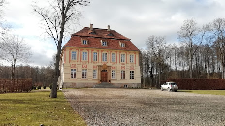
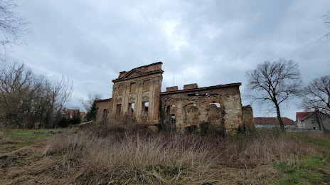
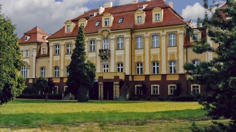
Attractions


Distance to the capital
Distance to the capital (Warsaw) is about — 344 km.